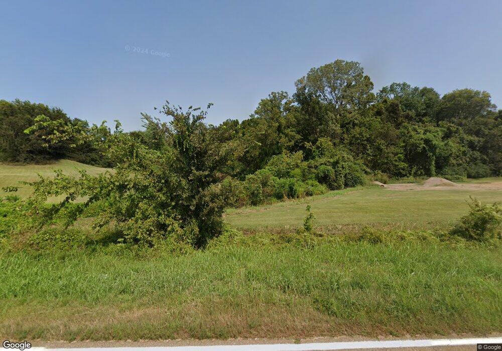
4512 Highway 157 Union City, TN 38261
Estimated Value: $277,080 - $323,000
--
Bed
2
Baths
1,991
Sq Ft
$150/Sq Ft
Est. Value
About This Home
This home is located at 4512 Highway 157, Union City, TN 38261 and is currently estimated at $299,360, approximately $150 per square foot. 4512 Highway 157 is a home located in Obion County.
Ownership History
Date
Name
Owned For
Owner Type
Purchase Details
Closed on
Oct 27, 2024
Sold by
Hayes Stacy
Bought by
Cole Joseph and Cole Shayanne
Current Estimated Value
Home Financials for this Owner
Home Financials are based on the most recent Mortgage that was taken out on this home.
Original Mortgage
$225,000
Outstanding Balance
$209,761
Interest Rate
6.32%
Mortgage Type
Credit Line Revolving
Estimated Equity
$89,599
Purchase Details
Closed on
May 4, 1995
Bought by
Cole Joseph Van M
Purchase Details
Closed on
Aug 18, 1992
Bought by
Cole Herman Van Buren
Purchase Details
Closed on
Feb 12, 1988
Bought by
Cole Herman Van Buren and Julie An
Create a Home Valuation Report for This Property
The Home Valuation Report is an in-depth analysis detailing your home's value as well as a comparison with similar homes in the area
Home Values in the Area
Average Home Value in this Area
Purchase History
| Date | Buyer | Sale Price | Title Company |
|---|---|---|---|
| Cole Joseph | -- | Dyer Land Title | |
| Cole Joseph | -- | Dyer Land Title | |
| Cole Joseph Van M | $20,000 | -- | |
| Cole Herman Van Buren | -- | -- | |
| Cole Herman Van Buren | $164,600 | -- |
Source: Public Records
Mortgage History
| Date | Status | Borrower | Loan Amount |
|---|---|---|---|
| Open | Cole Joseph | $225,000 | |
| Closed | Cole Joseph | $225,000 |
Source: Public Records
Tax History Compared to Growth
Tax History
| Year | Tax Paid | Tax Assessment Tax Assessment Total Assessment is a certain percentage of the fair market value that is determined by local assessors to be the total taxable value of land and additions on the property. | Land | Improvement |
|---|---|---|---|---|
| 2025 | $763 | $63,875 | $0 | $0 |
| 2024 | $763 | $55,275 | $5,850 | $49,425 |
| 2023 | $763 | $55,275 | $5,850 | $49,425 |
| 2022 | $584 | $30,750 | $4,575 | $26,175 |
| 2021 | $584 | $30,750 | $4,575 | $26,175 |
| 2020 | $584 | $30,750 | $4,575 | $26,175 |
| 2019 | $584 | $30,750 | $4,575 | $26,175 |
| 2018 | $586 | $30,750 | $4,575 | $26,175 |
| 2017 | $639 | $31,900 | $3,925 | $27,975 |
| 2016 | $639 | $31,900 | $3,925 | $27,975 |
| 2015 | $639 | $31,900 | $3,925 | $27,975 |
| 2014 | $639 | $31,900 | $3,925 | $27,975 |
Source: Public Records
Map
Nearby Homes
- 0 Walnut Logging Rd
- 3454 Treece Rd
- 0 Bogus Hollow Rd
- 5030 Rogers Marshall Rd
- 4744 N Clayton Antioch Rd
- 4310 Old Samburg Rd
- 2727 Marvin Vaught Rd
- 3216 W Shawtown Rd
- 3232 W Shawtown Rd
- 4211 Old Samburg Rd
- 000 Old Samburg Rd
- 3272 St Rt 925
- 1559 Ella Groom Rd
- 4830 Kendall Rd
- 354 E Lakeview Dr
- 257 2nd Ave
- 0 Lakeview Dr Unit RRA45037
- 1127 W Shawtown Rd
- 0 Denson Rd
- 891 Dean Hill Rd
- 4497 Mount Manuel Church Rd
- 4684 Highway 157
- 4474 Mount Manuel Church Rd
- 4716 Mount Manuel Church Rd
- 4788 Highway 157
- 4850 Highway 157
- 4896 Tennessee 157
- 4896 Tennessee 157 Unit 4896 Hwy 157 (Tax re
- 4874 Highway 157
- 4874 Highway 157
- 4736-4754 Mount Manuel Church Rd
- 3819 Kirk Rd
- 4896 Highway 157
- 4892 Walnut Log Rd
- 4172 Us Highway 157
- 4836 Mount Manuel Church Rd
- 5001 B Johnson Rd
- 5015 B Johnson Rd
- 5015 B Johnson Rd
- 5035 B Johnson Rd
