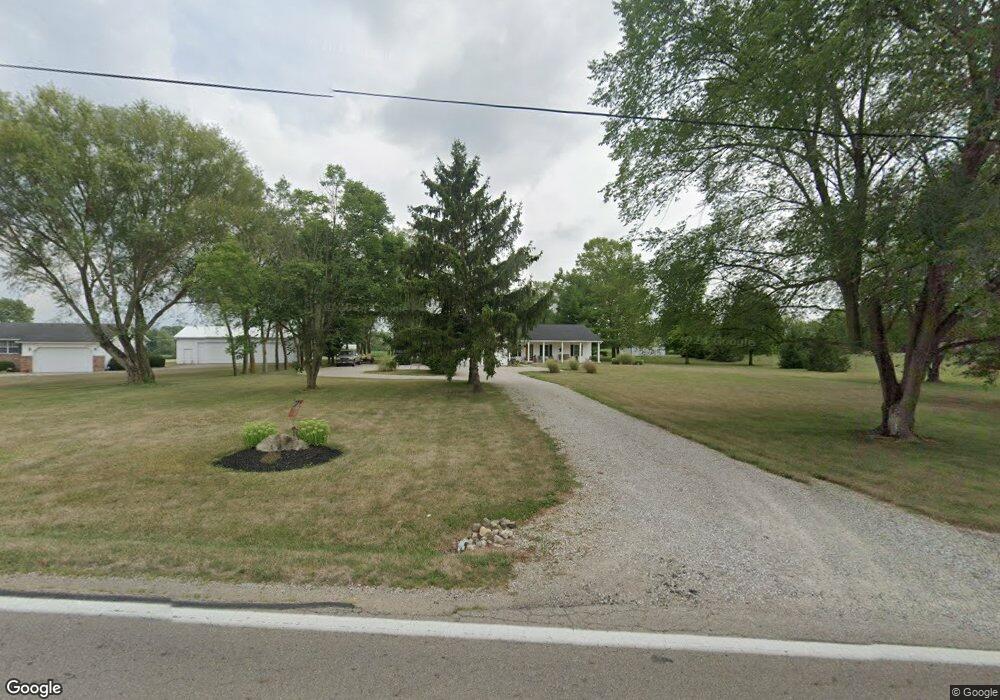
4513 State Route 316 W Ashville, OH 43103
Estimated Value: $399,000 - $481,000
3
Beds
2
Baths
1,932
Sq Ft
$227/Sq Ft
Est. Value
About This Home
This home is located at 4513 State Route 316 W, Ashville, OH 43103 and is currently estimated at $439,040, approximately $227 per square foot. 4513 State Route 316 W is a home located in Pickaway County.
Ownership History
Date
Name
Owned For
Owner Type
Purchase Details
Closed on
Nov 10, 1998
Sold by
Lee Daniel T
Bought by
Martin Ii Robert W L Angela
Current Estimated Value
Home Financials for this Owner
Home Financials are based on the most recent Mortgage that was taken out on this home.
Original Mortgage
$105,440
Outstanding Balance
$23,278
Interest Rate
6.72%
Mortgage Type
New Conventional
Estimated Equity
$415,762
Purchase Details
Closed on
Sep 20, 1994
Sold by
Schmelzer Bros Const Co
Bought by
Lee Daniel T and Lee Robin L
Home Financials for this Owner
Home Financials are based on the most recent Mortgage that was taken out on this home.
Original Mortgage
$102,500
Interest Rate
8.44%
Mortgage Type
New Conventional
Create a Home Valuation Report for This Property
The Home Valuation Report is an in-depth analysis detailing your home's value as well as a comparison with similar homes in the area
Home Values in the Area
Average Home Value in this Area
Purchase History
| Date | Buyer | Sale Price | Title Company |
|---|---|---|---|
| Martin Ii Robert W L Angela | $131,800 | -- | |
| Lee Daniel T | $107,900 | -- |
Source: Public Records
Mortgage History
| Date | Status | Borrower | Loan Amount |
|---|---|---|---|
| Open | Martin Ii Robert W L Angela | $105,440 | |
| Previous Owner | Lee Daniel T | $102,500 |
Source: Public Records
Tax History Compared to Growth
Tax History
| Year | Tax Paid | Tax Assessment Tax Assessment Total Assessment is a certain percentage of the fair market value that is determined by local assessors to be the total taxable value of land and additions on the property. | Land | Improvement |
|---|---|---|---|---|
| 2024 | -- | $112,120 | $24,610 | $87,510 |
| 2023 | $4,223 | $112,120 | $24,610 | $87,510 |
| 2022 | $3,272 | $79,800 | $16,420 | $63,380 |
| 2021 | $3,282 | $79,800 | $16,420 | $63,380 |
| 2020 | $3,283 | $79,800 | $16,420 | $63,380 |
| 2019 | $2,668 | $66,070 | $15,650 | $50,420 |
| 2018 | $2,580 | $66,070 | $15,650 | $50,420 |
| 2017 | $2,647 | $66,070 | $15,650 | $50,420 |
| 2016 | $2,536 | $63,190 | $13,740 | $49,450 |
| 2015 | $2,538 | $63,190 | $13,740 | $49,450 |
| 2014 | $2,541 | $63,190 | $13,740 | $49,450 |
| 2013 | $2,659 | $63,580 | $13,740 | $49,840 |
Source: Public Records
Map
Nearby Homes
- 4740 Ohio 316 Unit Tract 1
- 15360 State Route 104
- 5117 Harvest Ln
- 5104 Harvest Ln
- 5122 Harvest Ln
- 15953 State Route 104
- 13578 State Route 104
- 5327 Pear Ln
- 5310 Pear Ln Unit Lot 127
- Chestnut Plan at Day Farm
- Cooper Plan at Day Farm
- Bradford Plan at Day Farm
- Ironwood Plan at Day Farm
- Ashton Plan at Day Farm
- Empress Plan at Day Farm
- Norway Plan at Day Farm
- Spruce Plan at Day Farm
- Juniper Plan at Day Farm
- Palmetto Plan at Day Farm
- Aspen II Plan at Day Farm
- 4489 State Route 316 W
- 4585 Ohio 316
- 4633 State Route 316 W
- 4460 Ohio 316
- 14680 Gibson Rd
- 14706 Gibson Rd
- 4520 State Route 316 W
- 4420 State Route 316 W
- 14774 Gibson Rd
- 14792 Gibson Rd
- 14560 Gibson Rd
- 4409 State Route 316 W
- 4400 State Route 316 W
- 14667 Gibson Rd
- 14701 Gibson Rd
- 4340 State Route 316 W
- 4341 State Route 316 W
- 14894 Gibson Rd
- 4740 State Route 316 W
- 14503 Ohio 104
