4517 Mine Rd Fredericksburg, VA 22408
Bellvue NeighborhoodEstimated Value: $462,000 - $621,000
--
Bed
--
Bath
--
Sq Ft
3
Acres
About This Home
This home is located at 4517 Mine Rd, Fredericksburg, VA 22408 and is currently estimated at $559,000. 4517 Mine Rd is a home located in Spotsylvania County with nearby schools including Spotswood Elementary School, Battlefield Middle School, and Massaponax High School.
Ownership History
Date
Name
Owned For
Owner Type
Purchase Details
Closed on
Oct 20, 2022
Sold by
Ub Properties Inc
Bought by
Ceresmineroad Llc
Current Estimated Value
Purchase Details
Closed on
Apr 24, 2013
Sold by
Casterline William H
Bought by
Ub Properties Llc
Purchase Details
Closed on
Dec 2, 2004
Sold by
Seay Marie D
Bought by
Sealy L Franklin
Home Financials for this Owner
Home Financials are based on the most recent Mortgage that was taken out on this home.
Original Mortgage
$360,000
Interest Rate
5.69%
Mortgage Type
Construction
Create a Home Valuation Report for This Property
The Home Valuation Report is an in-depth analysis detailing your home's value as well as a comparison with similar homes in the area
Home Values in the Area
Average Home Value in this Area
Purchase History
| Date | Buyer | Sale Price | Title Company |
|---|---|---|---|
| Ceresmineroad Llc | -- | -- | |
| Ub Properties Llc | $1,204,000 | -- | |
| Sealy L Franklin | $439,375 | -- |
Source: Public Records
Mortgage History
| Date | Status | Borrower | Loan Amount |
|---|---|---|---|
| Previous Owner | Sealy L Franklin | $360,000 |
Source: Public Records
Tax History Compared to Growth
Tax History
| Year | Tax Paid | Tax Assessment Tax Assessment Total Assessment is a certain percentage of the fair market value that is determined by local assessors to be the total taxable value of land and additions on the property. | Land | Improvement |
|---|---|---|---|---|
| 2025 | $4,390 | $597,900 | $597,900 | $0 |
| 2024 | $4,390 | $597,900 | $597,900 | $0 |
| 2023 | $3,998 | $518,100 | $518,100 | $0 |
| 2022 | $3,736 | $506,400 | $506,400 | $0 |
| 2021 | $3,967 | $490,100 | $490,100 | $0 |
| 2020 | $3,967 | $490,100 | $490,100 | $0 |
| 2019 | $7,752 | $914,800 | $914,800 | $0 |
| 2018 | $7,620 | $914,800 | $914,800 | $0 |
| 2017 | $7,220 | $849,400 | $849,400 | $0 |
| 2016 | $7,220 | $849,400 | $849,400 | $0 |
| 2015 | -- | $816,800 | $816,800 | $0 |
| 2014 | -- | $816,800 | $816,800 | $0 |
Source: Public Records
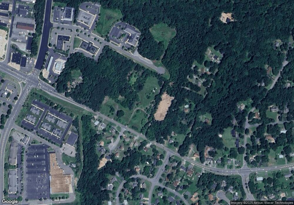
Map
Nearby Homes
- 201 Hardwood Ln
- 10404 Amherst Cir
- 109 Hillsdale Dr
- 4513 Garfield Ct
- 10203 Meadowview Dr
- 4205 Amelia Dr
- 10403 Norfolk Way
- 4115 Glouster Ln
- 100 Lombardy Dr
- 10636 Afton Grove Ct
- 10634 Afton Grove Ct
- 10632 Afton Grove Ct
- 10630 Afton Grove Ct
- 10628 Afton Grove Ct
- 10623 Afton Grove Ct
- 10621 Afton Grove Ct
- Quinn Plan at Afton Villas
- Lot 20 Hood Dr
- 10314 Colechester St
- 10201 N Hampton Ln
- 4525 Mine Rd
- 4537 Mine Rd
- 10507 Circle One Dr
- 10611 S Ann Davis Rd
- 10506 Circle One Dr
- 4508 Mine Rd
- 4501 Mine Rd
- 10504 Circle One Dr
- 4528 Mine Rd
- 10505 Circle One Dr
- 10617 S Ann Davis Rd
- 10504 Meadowview Dr
- 4541 Mine Rd
- 4532 Mine Rd
- 10501 Circle One Dr
- 10502 Meadowview Dr
- 10502 Circle One Dr
- 10420 Hillside Ln
- 10305 Shady Oak Ln
- 19 Shady Oaks Ln