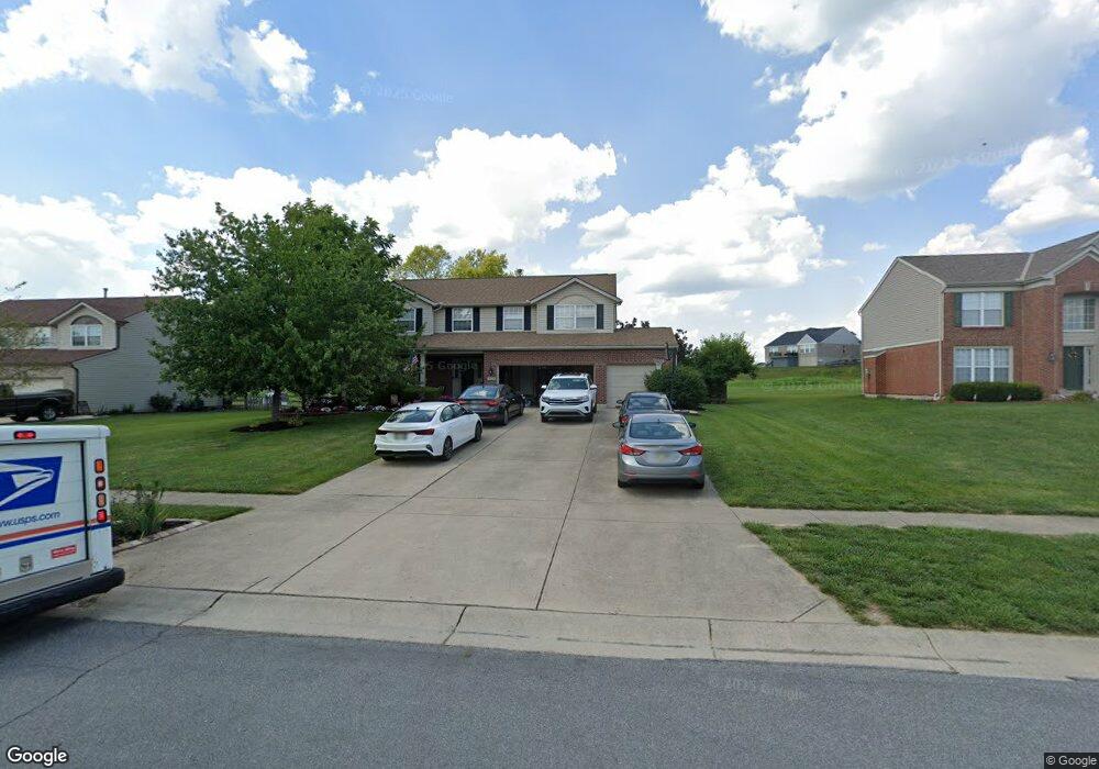
4528 Randall Dr Liberty Township, OH 45011
Estimated Value: $410,000 - $463,000
4
Beds
3
Baths
2,422
Sq Ft
$181/Sq Ft
Est. Value
About This Home
This home is located at 4528 Randall Dr, Liberty Township, OH 45011 and is currently estimated at $439,316, approximately $181 per square foot. 4528 Randall Dr is a home located in Butler County with nearby schools including Cherokee Elementary School, Heritage Early Childhood School, and Lakota Plains Junior School.
Ownership History
Date
Name
Owned For
Owner Type
Purchase Details
Closed on
Dec 28, 2001
Sold by
Dixon Builders Llc
Bought by
Reams John T and Reams Marta G
Current Estimated Value
Home Financials for this Owner
Home Financials are based on the most recent Mortgage that was taken out on this home.
Original Mortgage
$192,000
Interest Rate
7.14%
Mortgage Type
Purchase Money Mortgage
Create a Home Valuation Report for This Property
The Home Valuation Report is an in-depth analysis detailing your home's value as well as a comparison with similar homes in the area
Home Values in the Area
Average Home Value in this Area
Purchase History
| Date | Buyer | Sale Price | Title Company |
|---|---|---|---|
| Reams John T | $192,000 | Acs Title And Closing Servic |
Source: Public Records
Mortgage History
| Date | Status | Borrower | Loan Amount |
|---|---|---|---|
| Previous Owner | Reams John T | $192,000 |
Source: Public Records
Tax History Compared to Growth
Tax History
| Year | Tax Paid | Tax Assessment Tax Assessment Total Assessment is a certain percentage of the fair market value that is determined by local assessors to be the total taxable value of land and additions on the property. | Land | Improvement |
|---|---|---|---|---|
| 2024 | $5,018 | $124,540 | $16,860 | $107,680 |
| 2023 | $4,952 | $124,640 | $16,860 | $107,780 |
| 2022 | $4,269 | $83,040 | $16,860 | $66,180 |
| 2021 | $4,247 | $83,040 | $16,860 | $66,180 |
| 2020 | $4,346 | $83,040 | $16,860 | $66,180 |
| 2019 | $7,458 | $77,420 | $16,840 | $60,580 |
| 2018 | $4,497 | $77,420 | $16,840 | $60,580 |
| 2017 | $4,408 | $77,420 | $16,840 | $60,580 |
| 2016 | $4,102 | $69,560 | $16,840 | $52,720 |
| 2015 | $3,998 | $69,560 | $16,840 | $52,720 |
| 2014 | $3,735 | $69,560 | $16,840 | $52,720 |
| 2013 | $3,735 | $60,390 | $16,840 | $43,550 |
Source: Public Records
Map
Nearby Homes
- 4706 Oakview Ct
- 4821 Osprey Pointe Dr
- 4926 Pebble Ct
- 4930 Pebble Ct
- 4934 Pebble Ct
- 5765 Keshena Dr
- 4830 Cobblestone Ln
- 4938 Pebble Ct
- 4946 Pebble Ct
- Allen Plan at Callaway Place - Townhomes
- Avery Plan at Callaway Place - Villas
- 5603 Callaway Dr
- 4895 Osprey Pointe Dr
- Cameron Plan at Callaway Place - Villas
- Bristol Plan at Callaway Place - Villas
- 0 Liberty Square Dr
- 4328 Palomino Ln
- 5863 Eldon Dr
- 4902 Harrier Ln
- 4897 Osprey Pointe Dr
- 4538 Randall Dr
- 4518 Randall Dr
- 4508 Randall Dr
- 4548 Randall Dr
- 4531 Randall Dr
- 4585 Osprey Pointe Dr
- 4521 Randall Dr
- 4498 Randall Dr
- 4511 Randall Dr
- 4558 Randall Dr
- 4541 Randall Dr
- 4575 Osprey Pointe Dr
- 5600 Anchors Way
- 4501 Randall Dr
- 4595 Osprey Pointe Dr
- 5590 Anchors Way
- 5259 Mariners Way
- 4488 Randall Dr
- 4561 Randall Dr
- 4568 Randall Dr