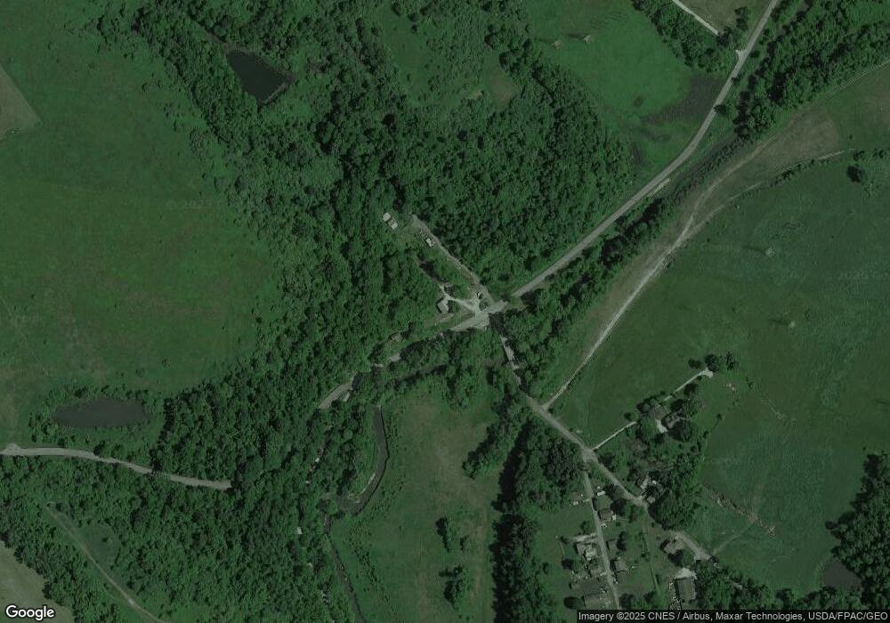
45479 Crabapple Rd Saint Clairsville, OH 43950
Estimated Value: $139,000 - $390,000
3
Beds
2
Baths
2,304
Sq Ft
$113/Sq Ft
Est. Value
About This Home
This home is located at 45479 Crabapple Rd, Saint Clairsville, OH 43950 and is currently estimated at $260,032, approximately $112 per square foot. 45479 Crabapple Rd is a home located in Belmont County with nearby schools including St. Clairsville Elementary School, St. Clairsville Middle School, and St. Clairsville High School.
Ownership History
Date
Name
Owned For
Owner Type
Purchase Details
Closed on
Apr 21, 2025
Sold by
Elerick Paul L and Elerick Leona May
Bought by
Elerick Family Trust and Elerick
Current Estimated Value
Purchase Details
Closed on
Jun 14, 2016
Sold by
Elerick Letha
Bought by
Elerick Paul L and Elerick Leona M
Purchase Details
Closed on
Jan 1, 1987
Sold by
Elerick Letha
Bought by
Elerick Letha
Create a Home Valuation Report for This Property
The Home Valuation Report is an in-depth analysis detailing your home's value as well as a comparison with similar homes in the area
Home Values in the Area
Average Home Value in this Area
Purchase History
| Date | Buyer | Sale Price | Title Company |
|---|---|---|---|
| Elerick Family Trust | -- | None Listed On Document | |
| Elerick Family Trust | -- | None Listed On Document | |
| Elerick Paul L | $8,666 | Attorney | |
| Elerick Letha | -- | -- |
Source: Public Records
Tax History Compared to Growth
Tax History
| Year | Tax Paid | Tax Assessment Tax Assessment Total Assessment is a certain percentage of the fair market value that is determined by local assessors to be the total taxable value of land and additions on the property. | Land | Improvement |
|---|---|---|---|---|
| 2024 | $3,003 | $99,350 | $1,260 | $98,090 |
| 2023 | $2,891 | $91,140 | $480 | $90,660 |
| 2022 | $17 | $483 | $483 | $0 |
| 2021 | $256 | $8,085 | $483 | $7,602 |
| 2020 | $233 | $7,030 | $420 | $6,610 |
| 2019 | $236 | $7,030 | $420 | $6,610 |
| 2018 | $235 | $7,030 | $420 | $6,610 |
| 2017 | $147 | $4,160 | $1,140 | $3,020 |
| 2016 | $150 | $4,160 | $1,140 | $3,020 |
| 2015 | $282 | $8,080 | $2,040 | $6,040 |
| 2014 | $339 | $9,320 | $1,860 | $7,460 |
| 2013 | $326 | $9,320 | $1,860 | $7,460 |
Source: Public Records
Map
Nearby Homes
- 45223 Oak Ave
- 69210 Bluebird Dr
- 46381 Country Lake Dr
- 47002 Columbia Hill Rd
- 43650 Lafferty Rd
- 19 acres Saffell Rd
- 15 acres Saffell Rd
- 35 acres Saffell Rd
- 35 Ac Saffel Rd
- 0 Watson Rd Unit 5068291
- 67821 Tulane Rd
- 0 National Rd Unit 225006918
- 42764 Buckeye St
- 44291 Main St
- 47442 National Rd W
- 47546 National Rd
- 47622 National Rd
- 44007 Lew Jan Dr
- Lot 78/79 Mills Rd
- 47671 Meadowview Dr
- 45461 Crabapple Rd
- 70480 Lee Rd
- 70300 Atwood Rd
- 70305 Atwood Rd
- 70315 Lee Rd
- 70272 Lee Rd
- 70235 Atwood Rd
- 70235 Atwood Rd
- 70242 Weldon St
- 70210 Atwood Rd
- 70155 Atwood Rd
- 70155 Atwood Rd
- 70242 Lee Rd
- 45404 Shank Rd
- 45400 Shank Rd
- 45394 Shank Rd
- 45325 Shank Rd
- 45371 Shank Rd
- 0 Shank Rd Unit 3983116
- 0 Shank Rd Unit 3873601
