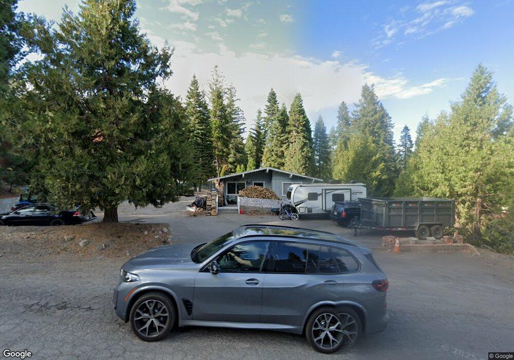
455 Firehouse Rd Westwood, CA 96137
Estimated Value: $267,000
--
Bed
--
Bath
6,429
Sq Ft
$42/Sq Ft
Est. Value
About This Home
This home is located at 455 Firehouse Rd, Westwood, CA 96137 and is currently priced at $267,000, approximately $41 per square foot. 455 Firehouse Rd is a home located in Plumas County with nearby schools including Lake Almanor Christian School.
Ownership History
Date
Name
Owned For
Owner Type
Purchase Details
Closed on
Sep 15, 2017
Sold by
Mcneill Dela Victoria Livi and Mcneill Dela Victoria Leigh
Bought by
Mcneill Storage Properties Llc
Current Estimated Value
Purchase Details
Closed on
Apr 19, 2016
Sold by
Mcneill Dela Victoria Leigh
Bought by
Dela Victoria Livi and Mcneill Dela Victoria Leigh
Purchase Details
Closed on
Mar 10, 2006
Sold by
Mcneill Richard F
Bought by
Mcneill Richard F and Richard Mc Neill Living Trust
Create a Home Valuation Report for This Property
The Home Valuation Report is an in-depth analysis detailing your home's value as well as a comparison with similar homes in the area
Home Values in the Area
Average Home Value in this Area
Purchase History
| Date | Buyer | Sale Price | Title Company |
|---|---|---|---|
| Mcneill Storage Properties Llc | -- | None Available | |
| Dela Victoria Livi | -- | None Available | |
| Mcneill Dela Victoria Leigh | -- | None Available | |
| Mcneill Richard F | -- | None Available | |
| Mcneill Richard F | -- | None Available |
Source: Public Records
Tax History Compared to Growth
Tax History
| Year | Tax Paid | Tax Assessment Tax Assessment Total Assessment is a certain percentage of the fair market value that is determined by local assessors to be the total taxable value of land and additions on the property. | Land | Improvement |
|---|---|---|---|---|
| 2025 | $2,206 | $156,229 | $54,078 | $102,151 |
| 2023 | $2,206 | $150,165 | $51,979 | $98,186 |
| 2022 | $2,040 | $147,221 | $50,960 | $96,261 |
| 2021 | $1,845 | $144,335 | $49,961 | $94,374 |
| 2020 | $1,881 | $142,856 | $49,449 | $93,407 |
| 2019 | $1,849 | $140,056 | $48,480 | $91,576 |
| 2018 | $1,782 | $137,311 | $47,530 | $89,781 |
| 2017 | $1,805 | $137,494 | $49,440 | $88,054 |
| 2016 | $1,670 | $133,490 | $48,000 | $85,490 |
| 2015 | $1,646 | $131,000 | $48,000 | $83,000 |
| 2014 | $1,648 | $131,000 | $48,000 | $83,000 |
Source: Public Records
Map
Nearby Homes
- 523 Peninsula Dr
- 525 Peninsula Dr
- 78 Lakeside Dr
- 547 Ponderosa Dr
- 445 Cedar Cir
- 625 Deep Forest Rd
- 334 Peninsula Dr
- 408 Ponderosa Dr
- 227 Peninsula Dr
- 663 Peninsula Dr
- 662 Peninsula Dr
- 631 Cedar Canyon Rd
- 623 Cedar Canyon Rd
- 152 Treetop Cir
- 162 Peninsula Dr
- 379 Clifford Dr
- 1129 Clifford Dr
- 101 Clifford Dr
- 319 Clifford Dr
- 459 Marina Dr
- 457 Firehouse Rd
- 457 Firehall Rd
- 501 Peninsula Dr Unit 1029 Peninsula Drive
- 501 Peninsula Dr Unit 1029 Peninsula Drive
- 501 Peninsula Dr Unit 1029 Peninsula Drive
- 512 Pine Cir
- 505 Peninsula Dr
- 510 Pine Cir
- 452 Peninsula Dr
- 520 Ponderosa Dr
- 507 Peninsula Dr
- 520 Ponderosa Dr
- 520 Ponderosa Dr Unit 2
- 518 Ponderosa Dr
- 524 Ponderosa Dr
- 516 Ponderosa Dr
- 454 Peninsula Dr Unit B
- 454 Peninsula Dr Unit 458 Peninsula Dr.
- 454 Peninsula Dr Unit A
- 454 Peninsula Dr