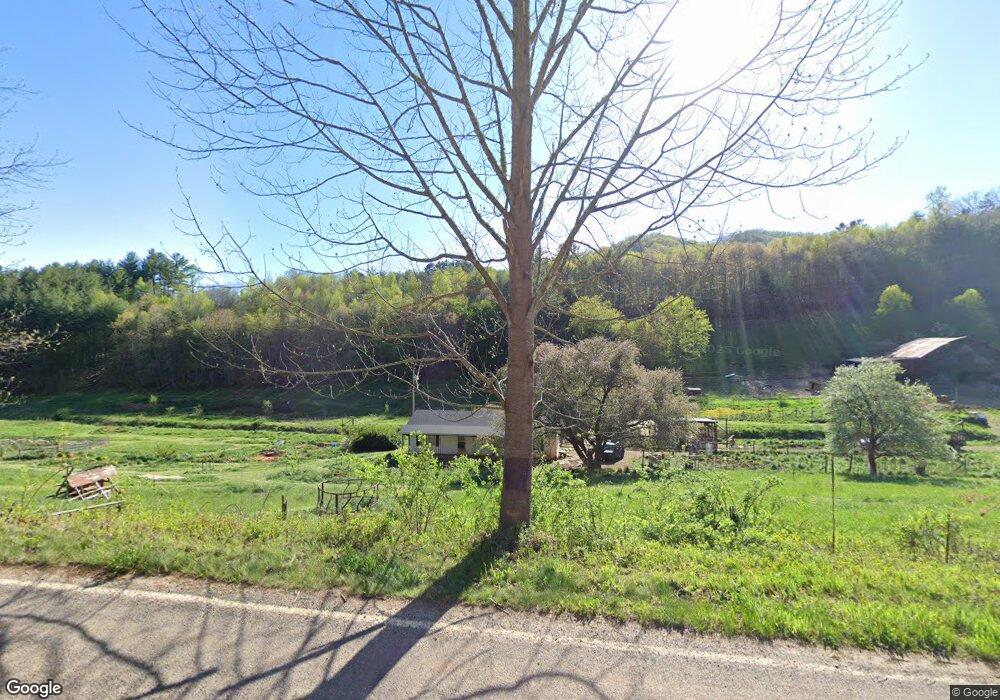
455 Moses Branch Rd Burnsville, NC 28714
Estimated Value: $282,000 - $366,000
2
Beds
1
Bath
836
Sq Ft
$388/Sq Ft
Est. Value
About This Home
This home is located at 455 Moses Branch Rd, Burnsville, NC 28714 and is currently estimated at $324,317, approximately $387 per square foot. 455 Moses Branch Rd is a home located in Yancey County with nearby schools including Mountain Heritage High School.
Ownership History
Date
Name
Owned For
Owner Type
Purchase Details
Closed on
Nov 25, 2020
Sold by
Evans Harold and Evans Sheila
Bought by
Evans Harold and Evans Sheila
Current Estimated Value
Purchase Details
Closed on
Jan 15, 2020
Sold by
Widower Ayers
Bought by
Freeman Michael E and Freeman Debbie
Purchase Details
Closed on
Dec 6, 2019
Sold by
Ayers Leonard
Bought by
Let Investment Services
Purchase Details
Closed on
Aug 10, 1948
Bought by
Ayers Oscar
Create a Home Valuation Report for This Property
The Home Valuation Report is an in-depth analysis detailing your home's value as well as a comparison with similar homes in the area
Home Values in the Area
Average Home Value in this Area
Purchase History
| Date | Buyer | Sale Price | Title Company |
|---|---|---|---|
| Evans Harold | $3,500 | None Available | |
| Freeman Michael E | $175,000 | None Available | |
| Let Investment Services | $220,000 | None Available | |
| Ayers Oscar | -- | -- |
Source: Public Records
Tax History Compared to Growth
Tax History
| Year | Tax Paid | Tax Assessment Tax Assessment Total Assessment is a certain percentage of the fair market value that is determined by local assessors to be the total taxable value of land and additions on the property. | Land | Improvement |
|---|---|---|---|---|
| 2025 | $1,020 | $282,200 | $194,900 | $87,300 |
| 2024 | $1,020 | $282,200 | $194,900 | $87,300 |
| 2023 | $626 | $149,020 | $93,900 | $55,120 |
| 2022 | $614 | $149,020 | $93,900 | $55,120 |
| 2021 | $626 | $149,020 | $93,900 | $55,120 |
| 2020 | $633 | $151,920 | $96,800 | $55,120 |
| 2019 | $548 | $186,020 | $144,000 | $42,020 |
| 2018 | $548 | $186,020 | $144,000 | $42,020 |
| 2017 | $548 | $186,020 | $144,000 | $42,020 |
| 2016 | $548 | $186,020 | $144,000 | $42,020 |
| 2015 | $532 | $359,130 | $310,100 | $49,030 |
| 2014 | $532 | $359,130 | $310,100 | $49,030 |
Source: Public Records
Map
Nearby Homes
- TBD Jacks Creek Rd
- 41 Hawks Ridge Estates
- 98 Cardinal Crest Dr
- 1377 Langford Branch Rd
- 0 Cane Mountain Ln Unit 9967935
- 0 Cane Mountain Ln Unit CAR4287202
- 0 Cane Mountain Ln Unit 250665
- 95 Friendship Rd
- 1595 Coxes Creek Rd
- 00 Coxes Creek Rd
- 57 Stillwater Springs Rd
- TBD Mountain View Rd
- Lot 3 Mountain View Rd
- 163 Tweetys Knoll
- 170 Styles Rd
- 208 Stillwater Springs Rd
- 92 Mountain View Rd
- 318 Sandy Way
- 187 Rusty Sweet Dr
- 619 Leisure Ln
- 455 Moses Branch Rd Unit C, D, E
- 455 Moses Branch Rd Unit B
- 222 Evans Rd
- 456 Moses Branch Rd
- 000 Evans Rd
- 735 Moses Branch Rd
- 730 Moses Branch Rd
- 49 Apricot Ln
- 630 Moses Branch Rd
- 00 Crosswind Dr
- 382 Barefoot Cove
- 349 Barefoot Cove
- 849 Moses Branch Rd
- 184 Crosswind Dr
- 130 Crosswind Dr
- 419 Barefoot Cove
- 92 Evans Rd
- 175 Moses Branch Rd
- 50 Tucker Rd
- 84 Del Mar Dr