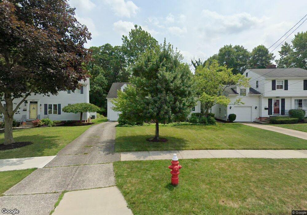
4559 Angela Dr Cleveland, OH 44126
Estimated Value: $260,000 - $314,000
3
Beds
2
Baths
1,418
Sq Ft
$207/Sq Ft
Est. Value
About This Home
This home is located at 4559 Angela Dr, Cleveland, OH 44126 and is currently estimated at $293,138, approximately $206 per square foot. 4559 Angela Dr is a home located in Cuyahoga County with nearby schools including Gilles-Sweet Elementary School, Lewis F Mayer Middle School, and Fairview High School.
Ownership History
Date
Name
Owned For
Owner Type
Purchase Details
Closed on
Oct 23, 2009
Sold by
Manderscheid Jane M and Miller Fletcher
Bought by
Joyce Margaret Rose
Current Estimated Value
Home Financials for this Owner
Home Financials are based on the most recent Mortgage that was taken out on this home.
Original Mortgage
$130,400
Outstanding Balance
$85,106
Interest Rate
5.07%
Mortgage Type
Purchase Money Mortgage
Estimated Equity
$208,032
Purchase Details
Closed on
Apr 23, 1992
Sold by
Vance William
Bought by
Manderscheid Jane M
Purchase Details
Closed on
Feb 3, 1986
Sold by
Vance William
Bought by
Vance William
Purchase Details
Closed on
Jun 9, 1982
Sold by
Whiteside Richard M and Whiteside Noel L
Bought by
Vance William
Purchase Details
Closed on
Jan 1, 1975
Bought by
Whiteside Richard M and Whiteside Noel L
Create a Home Valuation Report for This Property
The Home Valuation Report is an in-depth analysis detailing your home's value as well as a comparison with similar homes in the area
Home Values in the Area
Average Home Value in this Area
Purchase History
| Date | Buyer | Sale Price | Title Company |
|---|---|---|---|
| Joyce Margaret Rose | $166,500 | Newman | |
| Manderscheid Jane M | $129,000 | -- | |
| Vance William | -- | -- | |
| Vance William | $71,600 | -- | |
| Whiteside Richard M | -- | -- |
Source: Public Records
Mortgage History
| Date | Status | Borrower | Loan Amount |
|---|---|---|---|
| Open | Joyce Margaret Rose | $130,400 |
Source: Public Records
Tax History Compared to Growth
Tax History
| Year | Tax Paid | Tax Assessment Tax Assessment Total Assessment is a certain percentage of the fair market value that is determined by local assessors to be the total taxable value of land and additions on the property. | Land | Improvement |
|---|---|---|---|---|
| 2024 | $5,786 | $83,965 | $20,405 | $63,560 |
| 2023 | $5,941 | $74,060 | $16,800 | $57,260 |
| 2022 | $5,793 | $74,060 | $16,800 | $57,260 |
| 2021 | $5,921 | $74,060 | $16,800 | $57,260 |
| 2020 | $5,445 | $59,710 | $13,550 | $46,170 |
| 2019 | $4,839 | $170,600 | $38,700 | $131,900 |
| 2018 | $4,819 | $59,710 | $13,550 | $46,170 |
| 2017 | $5,022 | $57,370 | $12,780 | $44,590 |
| 2016 | $4,989 | $57,370 | $12,780 | $44,590 |
| 2015 | $4,710 | $57,370 | $12,780 | $44,590 |
| 2014 | $4,710 | $54,640 | $12,180 | $42,460 |
Source: Public Records
Map
Nearby Homes
- 4243 W 212th St
- 4291 W 215th St
- 4298 W 215th St
- 21143 Westwood Rd
- 21503 Hillsdale Ave
- 21237 Westwood Rd
- 20187 Grannis Rd
- 20778 Woodstock Ave
- 21236 Northwood Ave
- 4291 W 197th St
- 20930 Mastick Rd
- 21888 Eaton Rd
- 4140 W 220th St
- 4036 W 219th St
- 4235 W 222nd St
- 20688 Belvidere Ave
- 21104 Mastick Rd
- 4654 W 221st St
- 4627 W 223rd St
- 21877 Seabury Ave
- 4551 Angela Dr
- 4567 Angela Dr
- 4575 Angela Dr
- 4530 Angela Dr
- 4583 Angela Dr
- 4543 Angela Dr
- 4591 Angela Dr
- 4522 Angela Dr
- 4535 Angela Dr
- 4582 Angela Dr
- 4527 Angela Dr
- 4599 Angela Dr
- 4514 Angela Dr
- 4590 Angela Dr
- 20900 Fairlane Cir
- 4519 Angela Dr
- 4598 Angela Dr
- 4504 Angela Dr
- 20940 Fairlane Cir
- 4607 Angela Dr