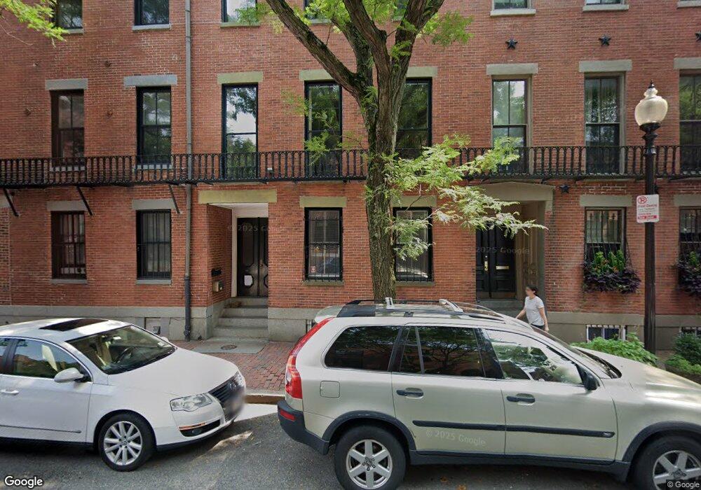
456 Shawmut Ave Unit 2 Boston, MA 02118
South End NeighborhoodEstimated Value: $1,801,000 - $2,399,000
3
Beds
3
Baths
1,788
Sq Ft
$1,218/Sq Ft
Est. Value
About This Home
This home is located at 456 Shawmut Ave Unit 2, Boston, MA 02118 and is currently estimated at $2,178,027, approximately $1,218 per square foot. 456 Shawmut Ave Unit 2 is a home located in Suffolk County with nearby schools including Cathedral High School.
Ownership History
Date
Name
Owned For
Owner Type
Purchase Details
Closed on
May 30, 2002
Sold by
Hannelius Eric H
Bought by
Jack Brian W and Hickman Linda C
Current Estimated Value
Home Financials for this Owner
Home Financials are based on the most recent Mortgage that was taken out on this home.
Original Mortgage
$636,000
Outstanding Balance
$272,523
Interest Rate
7%
Mortgage Type
Purchase Money Mortgage
Estimated Equity
$1,905,504
Create a Home Valuation Report for This Property
The Home Valuation Report is an in-depth analysis detailing your home's value as well as a comparison with similar homes in the area
Home Values in the Area
Average Home Value in this Area
Purchase History
| Date | Buyer | Sale Price | Title Company |
|---|---|---|---|
| Jack Brian W | $795,000 | -- |
Source: Public Records
Mortgage History
| Date | Status | Borrower | Loan Amount |
|---|---|---|---|
| Open | Jack Brian W | $636,000 |
Source: Public Records
Tax History Compared to Growth
Tax History
| Year | Tax Paid | Tax Assessment Tax Assessment Total Assessment is a certain percentage of the fair market value that is determined by local assessors to be the total taxable value of land and additions on the property. | Land | Improvement |
|---|---|---|---|---|
| 2025 | $23,371 | $2,018,200 | $0 | $2,018,200 |
| 2024 | $21,349 | $1,958,600 | $0 | $1,958,600 |
| 2023 | $20,615 | $1,919,500 | $0 | $1,919,500 |
| 2022 | $20,681 | $1,900,800 | $0 | $1,900,800 |
| 2021 | $19,885 | $1,863,600 | $0 | $1,863,600 |
| 2020 | $18,493 | $1,751,200 | $0 | $1,751,200 |
| 2019 | $17,916 | $1,699,800 | $0 | $1,699,800 |
| 2018 | $16,798 | $1,602,900 | $0 | $1,602,900 |
| 2017 | $16,167 | $1,526,600 | $0 | $1,526,600 |
| 2016 | $16,147 | $1,467,900 | $0 | $1,467,900 |
| 2015 | $15,676 | $1,294,500 | $0 | $1,294,500 |
| 2014 | $14,779 | $1,174,800 | $0 | $1,174,800 |
Source: Public Records
Map
Nearby Homes
- 43 W Newton St Unit 1-10
- 35-43 Rutland St
- 2 Cumston St
- 476 Shawmut Ave Unit 3
- 125 W Concord St Unit 1
- 116 W Concord St Unit PH
- 43 Worcester St Unit 1
- 71 Rutland St Unit 4
- 75 Rutland St Unit 1
- 67 Worcester St Unit 1
- 1666 Washington St Unit 2
- 668 Tremont St Unit 3
- 99 + 101 W Springfield St
- 379 Shawmut Ave
- 667 Tremont St Unit 3
- 667 Tremont St Unit 1
- 667 Tremont St Unit 4
- 377 Shawmut Ave
- 548 Massachusetts Ave Unit 3
- 8 Rutland Square Unit 2
- 456 Shawmut Ave Unit 1
- 456 Shawmut Ave
- 458 Shawmut Ave
- 24 Rutland St
- 22 Rutland St Unit 22A
- 22 Rutland St Unit sf
- 460 Shawmut Ave Unit 3
- 460 Shawmut Ave Unit 1
- 3 Cumston St
- 5 Cumston St
- 1 Cumston St
- 7 Cumston St
- 462 Shawmut Ave
- 462 Shawmut Ave Unit 2
- 462 Shawmut Ave Unit 1
- 452 Shawmut Ave
- 452 Shawmut Ave Unit 12A
- 9 Cumston St
- 26 Rutland St Unit 3
- 26 Rutland St Unit 5