4565 Bald Mountain Rd Burnsville, NC 28714
Estimated Value: $241,000 - $372,000
3
Beds
1
Bath
1,170
Sq Ft
$271/Sq Ft
Est. Value
About This Home
This home is located at 4565 Bald Mountain Rd, Burnsville, NC 28714 and is currently estimated at $317,472, approximately $271 per square foot. 4565 Bald Mountain Rd is a home with nearby schools including Mountain Heritage High School.
Ownership History
Date
Name
Owned For
Owner Type
Purchase Details
Closed on
Jan 31, 2017
Sold by
Williams Maude and Williams Floyd
Bought by
Colley Edwards W
Current Estimated Value
Home Financials for this Owner
Home Financials are based on the most recent Mortgage that was taken out on this home.
Original Mortgage
$140,000
Outstanding Balance
$116,076
Interest Rate
4.25%
Mortgage Type
Commercial
Estimated Equity
$201,396
Create a Home Valuation Report for This Property
The Home Valuation Report is an in-depth analysis detailing your home's value as well as a comparison with similar homes in the area
Home Values in the Area
Average Home Value in this Area
Purchase History
| Date | Buyer | Sale Price | Title Company |
|---|---|---|---|
| Colley Edwards W | -- | None Available |
Source: Public Records
Mortgage History
| Date | Status | Borrower | Loan Amount |
|---|---|---|---|
| Open | Colley Edwards W | $140,000 |
Source: Public Records
Tax History Compared to Growth
Tax History
| Year | Tax Paid | Tax Assessment Tax Assessment Total Assessment is a certain percentage of the fair market value that is determined by local assessors to be the total taxable value of land and additions on the property. | Land | Improvement |
|---|---|---|---|---|
| 2025 | $1,459 | $255,900 | $148,700 | $107,200 |
| 2024 | $1,459 | $255,900 | $148,700 | $107,200 |
| 2023 | $905 | $139,240 | $84,600 | $54,640 |
| 2022 | $887 | $139,240 | $84,600 | $54,640 |
| 2021 | $905 | $139,240 | $84,600 | $54,640 |
| 2020 | $905 | $139,240 | $84,600 | $54,640 |
| 2019 | $905 | $139,240 | $84,600 | $54,640 |
| 2018 | $905 | $139,240 | $84,600 | $54,640 |
| 2017 | $908 | $139,640 | $85,000 | $54,640 |
| 2016 | $908 | $139,640 | $85,000 | $54,640 |
| 2015 | $442 | $115,860 | $57,700 | $58,160 |
| 2014 | -- | $115,860 | $57,700 | $58,160 |
Source: Public Records
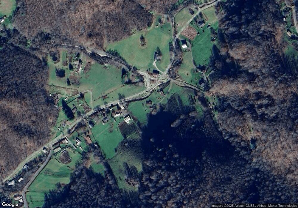
Map
Nearby Homes
- 141 Locust Ramp Dr
- 15 +/- Acres Riddle Branch Rd
- 1099 Silas Branch Rd
- 128 Hadleigh Way
- 000 Pearl Way Unit 12
- 2812 Bald Mountain Rd
- Lot 11 Settlement Way
- Lot 8 Settlement Way
- Lot 6 Settlement Way
- 000 Weaver Ln Unit 182
- 0 Weaver Ln Unit 202
- Lot 27 Black Bear Run
- Lot 42 Black Bear Run
- Lot 28 Black Bear Run
- 337 Hamlin Ln Unit 96
- 186 Hamlin Ln
- Lot 38 Black Bear Run
- 334-335-336 Hamlin Ln
- 000 Tearshirt Ln Unit 268
- 00 Tearshirt Ln Unit 308/309
- 99999 Eagle Rock Ln
- 4681 Bald Mountain Rd
- 4441 Bald Mountain Rd
- 4715 Bald Mountain Rd
- 4726 Bald Mountain Rd
- 4522 Bald Mountain Rd
- 131 Eagle Rock Ln
- 4765 Bald Mountain Rd
- 4686 Bald Mountain Rd
- 4381 Bald Mountain Rd
- 255 Eagle Rock Ln
- 17 Jim Creek Rd
- 4370 Bald Mountain Rd
- 4311 Bald Mountain Rd
- 114 Sampson Mountain Rd
- 220 Hoot Owl Hollow Rd
- 319 Jim Creek Rd
- 240 Hoot Owl Hollow Rd
- 156 Hoot Owl Hollow Rd
- 4243 Bald Mountain Rd