458 Nh Route 10 Orford, NH 03777
Estimated Value: $662,000 - $771,000
4
Beds
2
Baths
3,616
Sq Ft
$198/Sq Ft
Est. Value
About This Home
This home is located at 458 Nh Route 10, Orford, NH 03777 and is currently estimated at $714,981, approximately $197 per square foot. 458 Nh Route 10 is a home with nearby schools including Samuel Morey Elementary School and Rivendell Academy.
Ownership History
Date
Name
Owned For
Owner Type
Purchase Details
Closed on
Dec 31, 2015
Sold by
Marilyn M Alexander T
Bought by
Orford House Llc
Current Estimated Value
Home Financials for this Owner
Home Financials are based on the most recent Mortgage that was taken out on this home.
Original Mortgage
$295,000
Outstanding Balance
$234,773
Interest Rate
3.98%
Mortgage Type
New Conventional
Estimated Equity
$480,208
Create a Home Valuation Report for This Property
The Home Valuation Report is an in-depth analysis detailing your home's value as well as a comparison with similar homes in the area
Home Values in the Area
Average Home Value in this Area
Purchase History
| Date | Buyer | Sale Price | Title Company |
|---|---|---|---|
| Orford House Llc | $325,000 | -- |
Source: Public Records
Mortgage History
| Date | Status | Borrower | Loan Amount |
|---|---|---|---|
| Open | Orford House Llc | $295,000 |
Source: Public Records
Tax History Compared to Growth
Tax History
| Year | Tax Paid | Tax Assessment Tax Assessment Total Assessment is a certain percentage of the fair market value that is determined by local assessors to be the total taxable value of land and additions on the property. | Land | Improvement |
|---|---|---|---|---|
| 2024 | $13,574 | $390,606 | $46,306 | $344,300 |
| 2023 | $13,190 | $403,360 | $46,860 | $356,500 |
| 2022 | $11,409 | $403,850 | $47,350 | $356,500 |
| 2021 | $10,686 | $403,850 | $47,350 | $356,500 |
| 2020 | $10,555 | $403,959 | $47,459 | $356,500 |
| 2019 | $10,435 | $348,074 | $46,874 | $301,200 |
| 2018 | $8,862 | $318,312 | $47,212 | $271,100 |
| 2016 | $8,709 | $318,309 | $47,209 | $271,100 |
| 2015 | $10,300 | $318,309 | $47,209 | $271,100 |
| 2014 | $8,880 | $335,354 | $82,000 | $253,354 |
| 2012 | $8,330 | $335,484 | $82,000 | $253,484 |
Source: Public Records
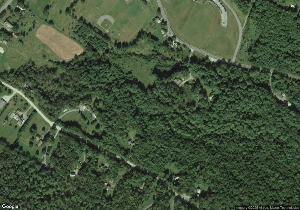
Map
Nearby Homes
- 404 New Hampshire 10
- 21 Boat Landing Rd
- 594 Nh Route 10
- 588 Nh Route 10
- 28 Lake Morey Rd
- 53 Ackerman Ln
- 00 New Hampshire 10 Unit 58B
- 00 New Hampshire 10 Unit 58C
- 68 Norris Rd
- 1675 US Route 5 S
- 58 Huckins Hill Rd
- 376 Orford Rd
- 553 Bragg Hill Rd
- 329 Dame Hill Rd
- 25 Fern Hill Ln Unit 33
- 35 Indian Pond Rd
- 10 Tavern Ln
- 133 Quinttown Rd
- 80 N Thetford Rd
- 186 Orford Rd
- 75 Sawyer Brook Rd
- 43 Sawyer Brook Rd
- 14 Bellmore Dr
- 3003 Gov Meldrim Thomson Scenic Hwy
- 83 Sawyer Brook Rd
- OO Sawyer Brook Rd
- 3007 New Hampshire 25a
- 54 Sawyer Brook Rd
- 78 Sawyer Brook Rd
- 64 Sawyer Brook Rd
- 84 Sawyer Brook Rd
- 940 U S 5
- 3007 Gov Meldrim Thomson Scenic Hwy
- 3007 Route 25A
- 104 Sawyer Brook Rd
- 92 Sawyer Brook Rd
- 46 Sawyer Brook Rd
- 25 Sawyer Brook Rd
- 42 Sawyer Brook Rd
- 2959 Gov Meldrim Thomson Scenic Hwy