46 Clark Ln Sudbury, MA 01776
Estimated Value: $872,000 - $1,059,000
3
Beds
2
Baths
1,658
Sq Ft
$565/Sq Ft
Est. Value
About This Home
This home is located at 46 Clark Ln, Sudbury, MA 01776 and is currently estimated at $936,770, approximately $565 per square foot. 46 Clark Ln is a home located in Middlesex County with nearby schools including Israel Loring Elementary School, Ephraim Curtis Middle School, and Lincoln-Sudbury Regional High School.
Ownership History
Date
Name
Owned For
Owner Type
Purchase Details
Closed on
Oct 25, 2021
Sold by
North Shore Res Dev Inc
Bought by
Blair Julie M
Current Estimated Value
Home Financials for this Owner
Home Financials are based on the most recent Mortgage that was taken out on this home.
Original Mortgage
$724,000
Outstanding Balance
$661,652
Interest Rate
2.8%
Mortgage Type
Purchase Money Mortgage
Estimated Equity
$275,119
Purchase Details
Closed on
May 14, 2019
Sold by
Ben-David Derek J and Ben-David Ilene B
Bought by
Bendavid Ft and Bendavid
Purchase Details
Closed on
Dec 16, 1999
Sold by
Pease Gerald E and Pease Barbara M
Bought by
David Derek J and David Ilene B
Home Financials for this Owner
Home Financials are based on the most recent Mortgage that was taken out on this home.
Original Mortgage
$270,000
Interest Rate
7.81%
Mortgage Type
Purchase Money Mortgage
Create a Home Valuation Report for This Property
The Home Valuation Report is an in-depth analysis detailing your home's value as well as a comparison with similar homes in the area
Home Values in the Area
Average Home Value in this Area
Purchase History
| Date | Buyer | Sale Price | Title Company |
|---|---|---|---|
| Blair Julie M | $1,499,000 | None Available | |
| Bendavid Ft | -- | -- | |
| Bendavid Ft | -- | -- | |
| David Derek J | $350,000 | -- |
Source: Public Records
Mortgage History
| Date | Status | Borrower | Loan Amount |
|---|---|---|---|
| Open | Blair Julie M | $724,000 | |
| Previous Owner | David Derek J | $272,000 | |
| Previous Owner | David Derek J | $270,000 | |
| Previous Owner | David Derek J | $50,000 |
Source: Public Records
Tax History Compared to Growth
Tax History
| Year | Tax Paid | Tax Assessment Tax Assessment Total Assessment is a certain percentage of the fair market value that is determined by local assessors to be the total taxable value of land and additions on the property. | Land | Improvement |
|---|---|---|---|---|
| 2025 | $11,463 | $783,000 | $417,000 | $366,000 |
| 2024 | $11,077 | $758,200 | $404,800 | $353,400 |
| 2023 | $11,186 | $709,300 | $374,800 | $334,500 |
| 2022 | $10,716 | $593,700 | $344,000 | $249,700 |
| 2021 | $10,539 | $559,700 | $344,000 | $215,700 |
| 2020 | $10,326 | $559,700 | $344,000 | $215,700 |
| 2019 | $10,022 | $559,600 | $344,000 | $215,600 |
| 2018 | $9,368 | $522,500 | $366,800 | $155,700 |
| 2017 | $8,597 | $484,600 | $348,900 | $135,700 |
| 2016 | $8,282 | $465,300 | $335,600 | $129,700 |
| 2015 | $7,575 | $430,400 | $322,700 | $107,700 |
| 2014 | $7,553 | $418,900 | $313,200 | $105,700 |
Source: Public Records
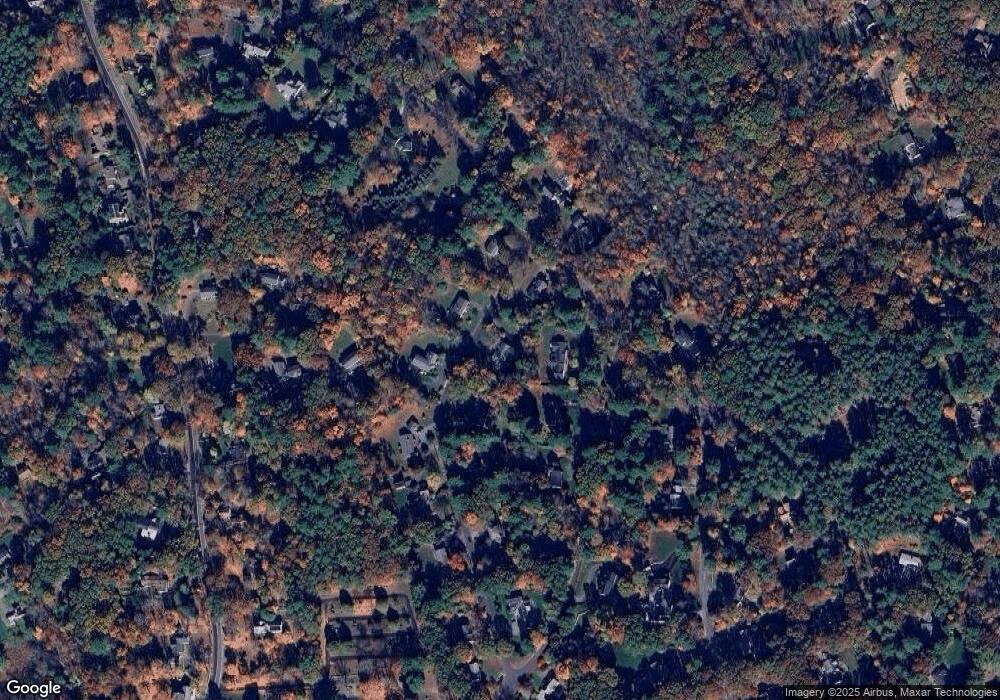
Map
Nearby Homes
- 36 Concord Rd
- 23 Massasoit Ave
- 94 Goodmans Hill Rd
- 270 Old Lancaster Rd
- 1011 Boston Post Rd
- 216 Landham Rd
- 6 Old County Rd Unit 16
- 89 Bridle Path
- 427 Concord Rd
- 24 Woodland Rd
- 7 Adams Rd
- 128 Nobscot Rd
- 0 Robbins Rd
- 24 Goodnow Rd
- 30 Rolling Ln
- 84 Hopestill Brown Rd
- 0 Wagonwheel Rd
- 12 Hickory Rd
- 63 Landham Rd
- 54 Stone Rd
- 99 Indian Ridge Rd
- 36 Clark Ln
- 45 Clark Ln
- 56 Clark Ln
- 93 Indian Ridge Rd
- 37 Clark Ln
- 53 Clark Ln
- 100 Indian Ridge Rd
- 26 Clark Ln
- 96 Old Lancaster Rd
- 85 Indian Ridge Rd
- 31 Clark Ln
- 111 Old Lancaster Rd
- 108 Old Lancaster Rd
- 90 Indian Ridge Rd
- 16 Walkup Rd
- 100 Old Lancaster Rd
- 92 Old Lancaster Rd
- 92 Old Lancaster Rd Unit 92
- 23 Clark Ln