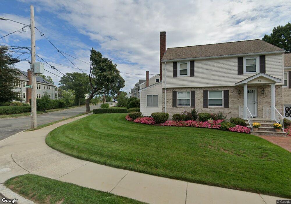
46 Fordham Rd Newton, MA 02465
West Newton NeighborhoodEstimated Value: $1,465,000 - $1,593,894
8
Beds
2
Baths
2,824
Sq Ft
$543/Sq Ft
Est. Value
About This Home
This home is located at 46 Fordham Rd, Newton, MA 02465 and is currently estimated at $1,534,224, approximately $543 per square foot. 46 Fordham Rd is a home located in Middlesex County with nearby schools including Franklin Elementary School, F.A. Day Middle School, and Newton North High School.
Ownership History
Date
Name
Owned For
Owner Type
Purchase Details
Closed on
May 9, 2011
Sold by
Laan Carolin Vd
Bought by
Carolin Vanderlaan T and Carolin Laan
Current Estimated Value
Purchase Details
Closed on
Nov 1, 1982
Bought by
Carolin Vanderlaan T
Create a Home Valuation Report for This Property
The Home Valuation Report is an in-depth analysis detailing your home's value as well as a comparison with similar homes in the area
Home Values in the Area
Average Home Value in this Area
Purchase History
| Date | Buyer | Sale Price | Title Company |
|---|---|---|---|
| Carolin Vanderlaan T | -- | -- | |
| Carolin Vanderlaan T | -- | -- | |
| Carolin Vanderlaan T | $127,500 | -- |
Source: Public Records
Mortgage History
| Date | Status | Borrower | Loan Amount |
|---|---|---|---|
| Previous Owner | Carolin Vanderlaan T | $25,000 |
Source: Public Records
Tax History Compared to Growth
Tax History
| Year | Tax Paid | Tax Assessment Tax Assessment Total Assessment is a certain percentage of the fair market value that is determined by local assessors to be the total taxable value of land and additions on the property. | Land | Improvement |
|---|---|---|---|---|
| 2025 | $11,917 | $1,216,000 | $790,400 | $425,600 |
| 2024 | $11,523 | $1,180,600 | $767,400 | $413,200 |
| 2023 | $10,929 | $1,073,600 | $626,300 | $447,300 |
| 2022 | $10,458 | $994,100 | $579,900 | $414,200 |
| 2021 | $9,813 | $912,000 | $532,000 | $380,000 |
| 2020 | $9,521 | $912,000 | $532,000 | $380,000 |
| 2019 | $8,482 | $811,700 | $497,200 | $314,500 |
| 2018 | $8,552 | $790,400 | $468,500 | $321,900 |
| 2017 | $8,063 | $725,100 | $429,800 | $295,300 |
| 2016 | $7,570 | $665,200 | $394,300 | $270,900 |
| 2015 | $7,206 | $620,700 | $368,500 | $252,200 |
Source: Public Records
Map
Nearby Homes
- 76 Taft Ave Unit 1
- 76 Taft Ave
- 76 Taft Ave Unit 2
- 75 Cherry St
- 76 Harding St
- 162 Myrtle St Unit 1
- 138 Myrtle St Unit 2
- 39 Clinton St Unit 2
- 39 Clinton St Unit 1
- 308 Newton St Unit 1
- 312 Newton St Unit 1A
- 24 Tolman St Unit A
- 1 Farwell Cir
- 81 Alder St
- 41 Kilburn Rd
- 287 Cherry St Unit 2
- 176 River St
- 56 Dearborn St
- 44 Westland Ave
- 28-32 Calvary St
- 34 Fordham Rd Unit 36
- 34 Fordham Rd Unit 2
- 16 Annapolis Rd Unit 1
- 16 Annapolis Rd Unit 18
- 16 Annapolis Rd Unit 16
- 9-11 Fordham Rd Unit 2
- 22 Annapolis Rd Unit 24
- 22-24 Annapolis Rd
- 9 Fordham Rd Unit 2
- 9 Fordham Rd Unit 11
- 11 Fordham Rd Unit 1
- 13 Fordham Rd Unit 15
- 13 Fordham Rd Unit 13 Fordham Road, Wes
- 13-15 Fordham Rd
- 12 Annapolis Rd Unit 14
- 35 Annapolis Rd
- 28 Annapolis Rd
- 19 Fordham Rd
- 119 Waltham St Unit 121
- 4 Annapolis Rd