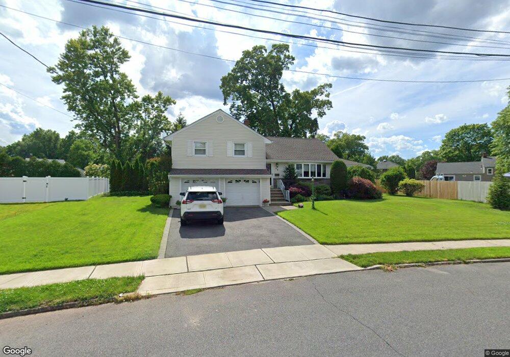
46 Lenhome Dr Cranford, NJ 07016
Estimated Value: $827,685 - $1,075,000
--
Bed
--
Bath
--
Sq Ft
0.32
Acres
About This Home
This home is located at 46 Lenhome Dr, Cranford, NJ 07016 and is currently estimated at $949,921. 46 Lenhome Dr is a home located in Union County with nearby schools including Cranford Sr High School, St Michael School, and Mother Seton Regional High School.
Ownership History
Date
Name
Owned For
Owner Type
Purchase Details
Closed on
Feb 27, 1999
Sold by
Junio John and Junio Diana
Bought by
Junio John
Current Estimated Value
Purchase Details
Closed on
Sep 18, 1996
Sold by
Kent Kenneth A and Kent Marian D
Bought by
Junio John and Junio Diana
Purchase Details
Closed on
Sep 21, 1994
Sold by
Kent Irwin I
Bought by
Kent Kenneth A and Kent Irwin I
Create a Home Valuation Report for This Property
The Home Valuation Report is an in-depth analysis detailing your home's value as well as a comparison with similar homes in the area
Home Values in the Area
Average Home Value in this Area
Purchase History
| Date | Buyer | Sale Price | Title Company |
|---|---|---|---|
| Junio John | -- | -- | |
| Junio John | $272,000 | -- | |
| Kent Kenneth A | -- | -- | |
| Kent Kenneth A | -- | -- | |
| Kent Irwin I | -- | -- |
Source: Public Records
Tax History Compared to Growth
Tax History
| Year | Tax Paid | Tax Assessment Tax Assessment Total Assessment is a certain percentage of the fair market value that is determined by local assessors to be the total taxable value of land and additions on the property. | Land | Improvement |
|---|---|---|---|---|
| 2025 | $16,717 | $246,600 | $100,800 | $145,800 |
| 2024 | $16,441 | $246,600 | $100,800 | $145,800 |
| 2023 | $16,441 | $246,600 | $100,800 | $145,800 |
| 2022 | $16,305 | $246,600 | $100,800 | $145,800 |
| 2021 | $16,234 | $246,600 | $100,800 | $145,800 |
| 2020 | $16,182 | $246,600 | $100,800 | $145,800 |
| 2019 | $16,078 | $246,600 | $100,800 | $145,800 |
| 2018 | $15,787 | $246,600 | $100,800 | $145,800 |
| 2017 | $15,245 | $246,600 | $100,800 | $145,800 |
| 2016 | $14,690 | $246,600 | $100,800 | $145,800 |
| 2015 | $14,305 | $246,600 | $100,800 | $145,800 |
| 2014 | $14,012 | $246,600 | $100,800 | $145,800 |
Source: Public Records
Map
Nearby Homes
- 2 Pine St
- 155 Hillcrest Ave
- 10 Alan O Kell Place
- 45 Hillcrest Ave
- 113 Retford Ave
- 108 James Ave
- 172 Mohawk Dr
- 247 Walnut Ave
- 11 Mendell Ave
- 37 Broad St
- 166 N Lehigh Ave
- 205 Locust Ave
- 24 Oneida Place
- 312 Hazel Ave
- 7 Iroquois Rd
- 1920 Boynton Ave
- 5 Iroquois Rd
- 383 Lincoln Ave E
- 355 Hemlock Ave
- 5 Picton St