46 Scott Dr Lake Havasu City, AZ 86403
--
Bed
--
Bath
2,089
Sq Ft
3,920
Sq Ft Lot
About This Home
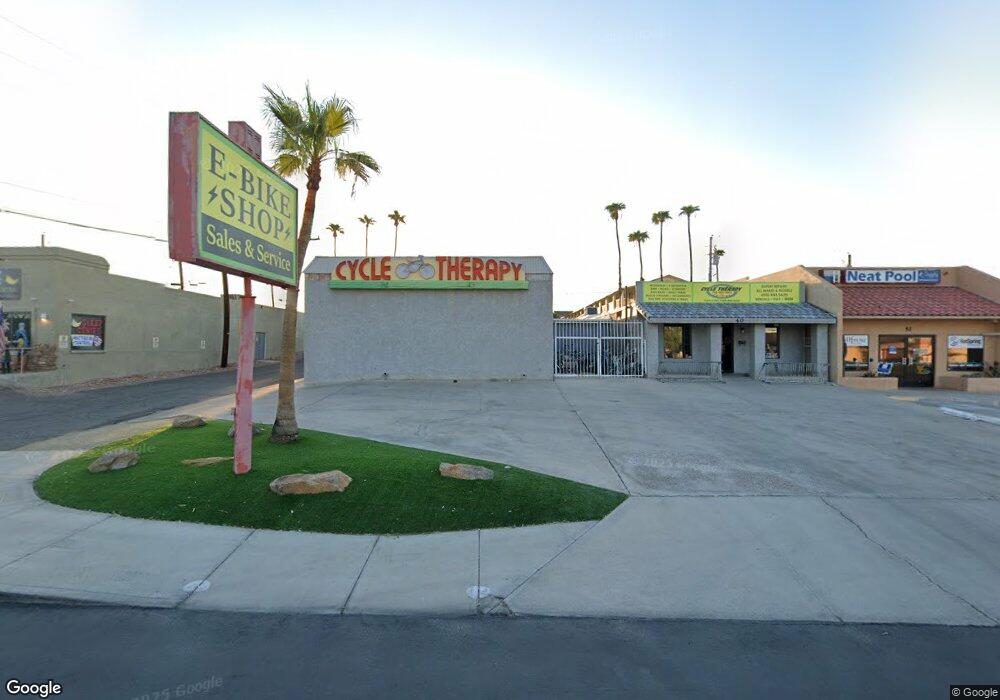
This home is located at 46 Scott Dr, Lake Havasu City, AZ 86403. 46 Scott Dr is a home located in Mohave County with nearby schools including Smoketree Elementary School, Thunderbolt Middle School, and Lake Havasu High School.
Ownership History
Date
Name
Owned For
Owner Type
Purchase Details
Closed on
Dec 16, 2011
Sold by
Miller Morris
Bought by
Miller Morris and Miller Brett
Home Financials for this Owner
Home Financials are based on the most recent Mortgage that was taken out on this home.
Original Mortgage
$30,000
Outstanding Balance
$20,453
Interest Rate
3.94%
Mortgage Type
Commercial
Purchase Details
Closed on
Dec 13, 2011
Sold by
Nelson Andrew E and Nelson Sara L
Bought by
Miller Morris
Home Financials for this Owner
Home Financials are based on the most recent Mortgage that was taken out on this home.
Original Mortgage
$30,000
Outstanding Balance
$20,453
Interest Rate
3.94%
Mortgage Type
Commercial
Create a Home Valuation Report for This Property
The Home Valuation Report is an in-depth analysis detailing your home's value as well as a comparison with similar homes in the area
Home Values in the Area
Average Home Value in this Area
Purchase History
| Date | Buyer | Sale Price | Title Company |
|---|---|---|---|
| Miller Morris | -- | Stewart Title & Trust Of Pho | |
| Miller Morris | $210,000 | Stewart Title & Trust Of Pho |
Source: Public Records
Mortgage History
| Date | Status | Borrower | Loan Amount |
|---|---|---|---|
| Open | Miller Morris | $30,000 |
Source: Public Records
Tax History Compared to Growth
Tax History
| Year | Tax Paid | Tax Assessment Tax Assessment Total Assessment is a certain percentage of the fair market value that is determined by local assessors to be the total taxable value of land and additions on the property. | Land | Improvement |
|---|---|---|---|---|
| 2026 | -- | -- | -- | -- |
| 2025 | $2,403 | $60,280 | $0 | $0 |
| 2024 | $2,403 | $49,180 | $0 | $0 |
| 2023 | $2,403 | $37,443 | $0 | $0 |
| 2022 | $2,368 | $33,336 | $0 | $0 |
| 2021 | $2,625 | $29,133 | $0 | $0 |
| 2019 | $2,491 | $28,764 | $0 | $0 |
| 2018 | $2,404 | $31,893 | $0 | $0 |
| 2017 | $2,380 | $26,377 | $0 | $0 |
| 2016 | $2,150 | $24,224 | $0 | $0 |
| 2015 | $2,111 | $21,036 | $0 | $0 |
Source: Public Records
Map
Nearby Homes
- 72 Mariposa Dr Unit D
- 2042 Swanson Ave Unit H
- 2094 Mesquite Ave Unit 123
- 2094 Mesquite Ave Unit 113
- 2094 Mesquite Ave Unit 126
- 2085 Mesquite Ave Unit 64
- 2085 Mesquite Ave Unit 61
- 1926 Swanson Ave
- 2095 Mesquite Ave Unit 19
- 1939 Pine Ln
- 1989 Mesquite Ave Unit 74
- 1989 Mesquite Ave Unit 32
- 1989 Mesquite Ave Unit 17
- 1989 Mesquite Ave Unit 46
- 2080 Swanson Ave Unit F
- 2080 Swanson Ave Unit C
- 2080 Swanson Ave Unit D
- 2080 Swanson Ave Unit I
- 1910 Swanson Ave Unit A22
- 1910 Swanson Ave Unit A20
- 40 Scott Dr
- 40 Scott Dr
- 40 Scott Dr
- 40 & 46 Scott Dr
- 70 Scott Dr Unit B
- 70 Scott Dr Unit A
- 70 Scott Dr Unit A & B
- 70 Scott Dr
- 34 Scott Dr Unit B
- 34 Scott Dr Unit A
- 34 Scott Dr
- 30 Scott Dr
- 22 Scott Dr
- 18 Scott Dr
- 33 Pima Sq S 31 Wings Loop
- 33 Pima Sqare S 31 Wings Loop
- 14 Scott Dr
- 2048 Mcculloch Blvd N
- 2085 Swanson Ave
- 2078 Mcculloch Blvd N