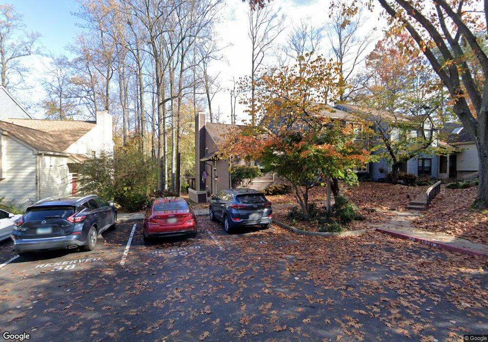
460 Cranes Roost Ct Unit 69 Annapolis, MD 21409
Pendennis Mount NeighborhoodEstimated Value: $497,000 - $558,000
3
Beds
3
Baths
2,500
Sq Ft
$206/Sq Ft
Est. Value
About This Home
This home is located at 460 Cranes Roost Ct Unit 69, Annapolis, MD 21409 and is currently estimated at $515,837, approximately $206 per square foot. 460 Cranes Roost Ct Unit 69 is a home located in Anne Arundel County with nearby schools including Windsor Farm Elementary School, Severn River Middle School, and Broadneck High School.
Ownership History
Date
Name
Owned For
Owner Type
Purchase Details
Closed on
Sep 1, 2023
Sold by
Underland Patricia
Bought by
Pelosi Allison Katherine and Jew Matthew Lee
Current Estimated Value
Home Financials for this Owner
Home Financials are based on the most recent Mortgage that was taken out on this home.
Original Mortgage
$450,719
Outstanding Balance
$440,888
Interest Rate
6.81%
Mortgage Type
VA
Estimated Equity
$74,949
Purchase Details
Closed on
Jan 6, 2014
Sold by
Klug Michael K and Ruckstuhl Alison
Bought by
Underland Patricia
Home Financials for this Owner
Home Financials are based on the most recent Mortgage that was taken out on this home.
Original Mortgage
$297,000
Interest Rate
4.45%
Mortgage Type
New Conventional
Purchase Details
Closed on
Dec 2, 2009
Sold by
Gallagher Brie
Bought by
Klug Michael K and Ruckstuhl Alison
Home Financials for this Owner
Home Financials are based on the most recent Mortgage that was taken out on this home.
Original Mortgage
$281,801
Interest Rate
5.02%
Mortgage Type
FHA
Purchase Details
Closed on
Jun 6, 2001
Sold by
Moore Lorie A
Bought by
Gallagher Brie
Purchase Details
Closed on
Mar 4, 1998
Sold by
Collins Lorie
Bought by
Moore Lorie A and Moore Thomas C
Purchase Details
Closed on
Dec 22, 1994
Sold by
Federal Home Loan Mtg Cp
Bought by
Collins Lorie
Home Financials for this Owner
Home Financials are based on the most recent Mortgage that was taken out on this home.
Original Mortgage
$151,534
Interest Rate
9.19%
Purchase Details
Closed on
Nov 10, 1994
Sold by
Ballman B George
Bought by
Federal Home Loan Mortgage Corporation
Home Financials for this Owner
Home Financials are based on the most recent Mortgage that was taken out on this home.
Original Mortgage
$151,534
Interest Rate
9.19%
Create a Home Valuation Report for This Property
The Home Valuation Report is an in-depth analysis detailing your home's value as well as a comparison with similar homes in the area
Home Values in the Area
Average Home Value in this Area
Purchase History
| Date | Buyer | Sale Price | Title Company |
|---|---|---|---|
| Pelosi Allison Katherine | $477,700 | Sage Title Group | |
| Pelosi Allison Katherine | $477,700 | Sage Title Group | |
| Underland Patricia | $330,000 | Granite Title Associates Inc | |
| Klug Michael K | $287,000 | -- | |
| Gallagher Brie | $181,000 | -- | |
| Moore Lorie A | -- | -- | |
| Collins Lorie | $154,000 | -- | |
| Federal Home Loan Mortgage Corporation | $136,933 | -- |
Source: Public Records
Mortgage History
| Date | Status | Borrower | Loan Amount |
|---|---|---|---|
| Open | Pelosi Allison Katherine | $450,719 | |
| Closed | Pelosi Allison Katherine | $450,719 | |
| Previous Owner | Underland Patricia | $297,000 | |
| Previous Owner | Klug Michael K | $281,801 | |
| Previous Owner | Federal Home Loan Mortgage Corporation | $151,534 | |
| Closed | Moore Lorie A | -- |
Source: Public Records
Tax History Compared to Growth
Tax History
| Year | Tax Paid | Tax Assessment Tax Assessment Total Assessment is a certain percentage of the fair market value that is determined by local assessors to be the total taxable value of land and additions on the property. | Land | Improvement |
|---|---|---|---|---|
| 2025 | $4,399 | $396,933 | -- | -- |
| 2024 | $4,399 | $361,200 | $155,000 | $206,200 |
| 2023 | $4,290 | $354,633 | $0 | $0 |
| 2022 | $3,637 | $348,067 | $0 | $0 |
| 2021 | $7,891 | $341,500 | $145,000 | $196,500 |
| 2020 | $3,812 | $332,500 | $0 | $0 |
| 2019 | $7,255 | $323,500 | $0 | $0 |
| 2018 | $3,189 | $314,500 | $100,000 | $214,500 |
| 2017 | $3,409 | $307,033 | $0 | $0 |
| 2016 | -- | $299,567 | $0 | $0 |
| 2015 | -- | $292,100 | $0 | $0 |
| 2014 | -- | $292,100 | $0 | $0 |
Source: Public Records
Map
Nearby Homes
- 1577 Native Dancer Ct
- 621 Snow Goose Ln
- 1641 Cananaro Dr
- 1576 Bay Head Rd
- 474 Ruffian Ct
- 1366 Almond Dr
- 0 Bay Head Rd
- 1444 Whitehall Rd
- 901 Noah Winfield Terrace Unit 102
- 1507 Broadneck Place Unit 404
- 1440 Whitehall Rd
- 1351 & 1353 Yorktown Rd
- 1014 St Charles Dr
- 1023 Mountain Top Dr
- 1016 E College Pkwy
- 1219 Hampton Rd
- 605 Yawl Ct
- 1160 Skyview Dr
- 1217 Hampton Rd
- 1044 Skyview Dr
- 460 Cranes Roost Ct
- 462 Cranes Roost Ct
- 458 Cranes Roost Ct
- 458 Cranes Roost Ct Unit 70
- 464 Cranes Roost Ct
- 456 Cranes Roost Ct
- 488 Fawns Walk
- 486 Fawns Walk
- 466 Cranes Roost Ct
- 454 Cranes Roost Ct Unit 72
- 454 Cranes Roost Ct
- 490 Fawns Walk
- 450 Cranes Roost Ct
- 448 Cranes Roost Ct Unit 75
- 468 Cranes Roost Ct
- 492 Fawns Walk
- 452 Cranes Roost Ct
- 446 Cranes Roost Ct
- 446 Cranes Roost Ct Unit 76
- 470 Cranes Roost Ct