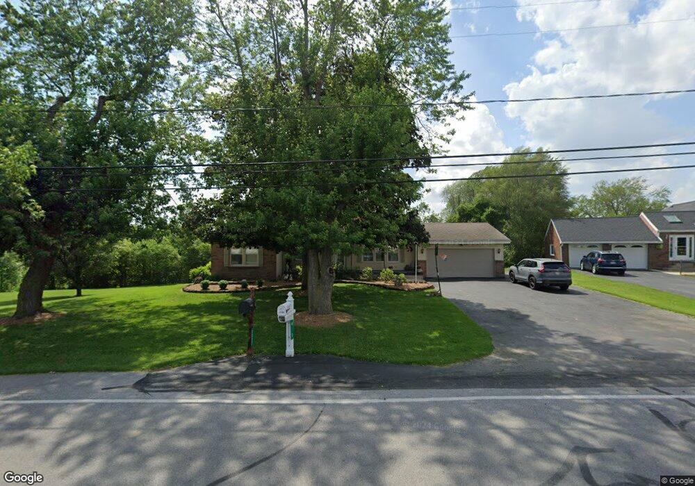
460 Finefrock Rd Fremont, OH 43420
Estimated Value: $203,000 - $244,000
2
Beds
3
Baths
1,364
Sq Ft
$164/Sq Ft
Est. Value
About This Home
This home is located at 460 Finefrock Rd, Fremont, OH 43420 and is currently estimated at $224,289, approximately $164 per square foot. 460 Finefrock Rd is a home located in Sandusky County with nearby schools including Fremont Ross High School, Sacred Heart School, and Temple Christian Academy.
Ownership History
Date
Name
Owned For
Owner Type
Purchase Details
Closed on
Jul 15, 2021
Sold by
Nesbitt Larry L
Bought by
Nesbitt Norma J
Current Estimated Value
Purchase Details
Closed on
Apr 22, 2005
Sold by
Zimmerman Clarence
Bought by
Zimmerman Clarence G and Clarence G Zimmerman Trust
Purchase Details
Closed on
Jun 21, 2001
Sold by
Capucini James
Bought by
Zink Clarence Zimmerman Joan M
Create a Home Valuation Report for This Property
The Home Valuation Report is an in-depth analysis detailing your home's value as well as a comparison with similar homes in the area
Home Values in the Area
Average Home Value in this Area
Purchase History
| Date | Buyer | Sale Price | Title Company |
|---|---|---|---|
| Nesbitt Norma J | -- | -- | |
| Zimmerman Clarence G | -- | -- | |
| Zink Clarence Zimmerman Joan M | $127,000 | -- |
Source: Public Records
Tax History Compared to Growth
Tax History
| Year | Tax Paid | Tax Assessment Tax Assessment Total Assessment is a certain percentage of the fair market value that is determined by local assessors to be the total taxable value of land and additions on the property. | Land | Improvement |
|---|---|---|---|---|
| 2024 | $1,835 | $56,950 | $12,040 | $44,910 |
| 2023 | $1,835 | $46,310 | $9,800 | $36,510 |
| 2022 | $1,561 | $46,310 | $9,800 | $36,510 |
| 2021 | $1,609 | $46,310 | $9,800 | $36,510 |
| 2020 | $1,315 | $38,850 | $9,800 | $29,050 |
| 2019 | $1,314 | $38,850 | $9,800 | $29,050 |
| 2018 | $1,278 | $38,850 | $9,800 | $29,050 |
| 2017 | $1,204 | $36,960 | $9,800 | $27,160 |
| 2016 | $1,056 | $36,960 | $9,800 | $27,160 |
| 2015 | $1,039 | $36,960 | $9,800 | $27,160 |
| 2014 | $1,129 | $38,120 | $9,980 | $28,140 |
| 2013 | $1,105 | $38,120 | $9,980 | $28,140 |
Source: Public Records
Map
Nearby Homes
- 199 Saint Thomas Dr
- 2248 E State St
- 315 Ethan Dr
- 318 Ethan Dr
- 251 Saint Paul Dr
- 263 Saint Paul Dr
- 1526 Sunrise Blvd
- 800 Lawndale Dr
- 1014 S County Road 198
- 230 N Pennsylvania Ave
- 314 S Collinwood Blvd
- 924 Birdseye Blvd
- 906 Amsden Blvd
- 0 S Buchanan St
- 600 S Buchanan St
- 714 E State St
- 322 4th St
- 612 2nd St
- 433 Sandusky Ave
- 533 Sandusky Ave Unit 535
- 460 Finefrock Rd
- 1997 E State St
- 2027 E State St
- 1970 E State St
- 122 Saint Paul Dr
- 1946 E State St
- 132 Saint Paul Dr
- 1875 E State St
- 595 Finefrock Rd
- 2037 Victor St
- 2045 Victor St
- 140 Saint Paul Dr
- 2059 Victor St
- 618 Finefrock Rd
- 2071 Victor St
- 219 Caleb Dr
- 2097 Victor St
- 151 Saint Paul Dr
- 162 Saint Paul Dr
- 201 Ethan Dr