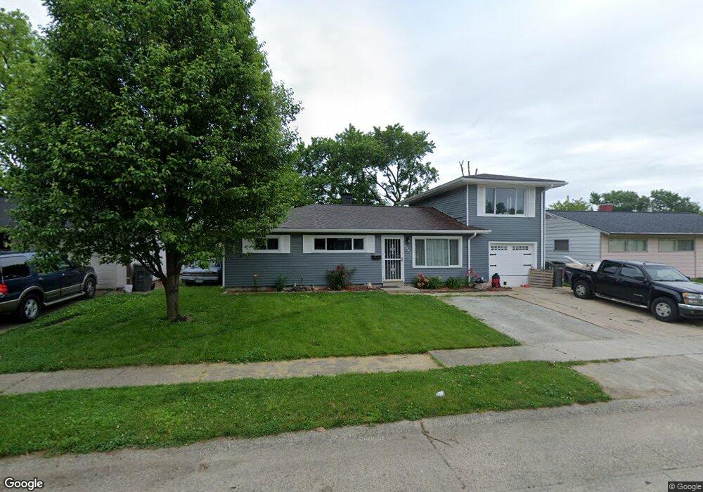
4602 Hollister Dr Indianapolis, IN 46222
Estimated Value: $167,000 - $227,000
4
Beds
2
Baths
1,654
Sq Ft
$117/Sq Ft
Est. Value
About This Home
This home is located at 4602 Hollister Dr, Indianapolis, IN 46222 and is currently estimated at $194,083, approximately $117 per square foot. 4602 Hollister Dr is a home located in Marion County with nearby schools including Carl Wilde School 79, Lew Wallace School 107, and Meredith Nicholson School 96.
Ownership History
Date
Name
Owned For
Owner Type
Purchase Details
Closed on
Nov 29, 2005
Sold by
Lane Timothy A and Lane Rene
Bought by
Lane Timothy A
Current Estimated Value
Home Financials for this Owner
Home Financials are based on the most recent Mortgage that was taken out on this home.
Original Mortgage
$80,000
Outstanding Balance
$44,947
Interest Rate
6.36%
Mortgage Type
New Conventional
Estimated Equity
$149,137
Create a Home Valuation Report for This Property
The Home Valuation Report is an in-depth analysis detailing your home's value as well as a comparison with similar homes in the area
Home Values in the Area
Average Home Value in this Area
Purchase History
| Date | Buyer | Sale Price | Title Company |
|---|---|---|---|
| Lane Timothy A | -- | None Available |
Source: Public Records
Mortgage History
| Date | Status | Borrower | Loan Amount |
|---|---|---|---|
| Open | Lane Timothy A | $80,000 |
Source: Public Records
Tax History Compared to Growth
Tax History
| Year | Tax Paid | Tax Assessment Tax Assessment Total Assessment is a certain percentage of the fair market value that is determined by local assessors to be the total taxable value of land and additions on the property. | Land | Improvement |
|---|---|---|---|---|
| 2024 | $1,616 | $139,100 | $7,300 | $131,800 |
| 2023 | $1,616 | $142,000 | $7,300 | $134,700 |
| 2022 | $1,531 | $131,300 | $7,300 | $124,000 |
| 2021 | $934 | $94,800 | $7,300 | $87,500 |
| 2020 | $622 | $78,400 | $7,300 | $71,100 |
| 2019 | $518 | $68,600 | $7,300 | $61,300 |
| 2018 | $530 | $68,600 | $7,300 | $61,300 |
| 2017 | $426 | $61,900 | $7,300 | $54,600 |
| 2016 | $419 | $64,000 | $7,300 | $56,700 |
| 2014 | $390 | $64,800 | $7,300 | $57,500 |
| 2013 | $1,411 | $67,900 | $7,300 | $60,600 |
Source: Public Records
Map
Nearby Homes
- 4513 Patricia St
- 4317 Patricia St
- 3148 Keswick Rd
- 4108 Kalmar Dr
- 3119 N Fuller Dr
- 3143 N Fuller Dr
- 11 Digby Ct
- 3813 W 30th St
- 4917 W 34th St
- 3152 Allison Ave
- 4953 Mccray St
- 4113 Deborah St
- 4908 Baxter Dr
- 3440 Brewer Dr
- 4111 W 34th St
- 3433 Welch Dr
- 3325 Tomlinson St
- 3302 Allison Ave
- 4718 W 36th St
- 2126 N Auburn St
- 4608 Hollister Dr
- 4528 Hollister Dr
- 4614 Hollister Dr
- 4522 Hollister Dr
- 4603 Hollister Dr
- 4609 Hollister Dr
- 4527 Hollister Dr
- 4516 Hollister Dr
- 4620 Hollister Dr
- 4615 Hollister Dr
- 4521 Hollister Dr
- 4621 Hollister Dr
- 2901 Delores Dr
- 4515 Hollister Dr
- 4510 Hollister Dr
- 4602 Maren Dr
- 4608 Maren Dr
- 4542 Maren Dr
- 4614 Maren Dr
- 4536 Maren Dr