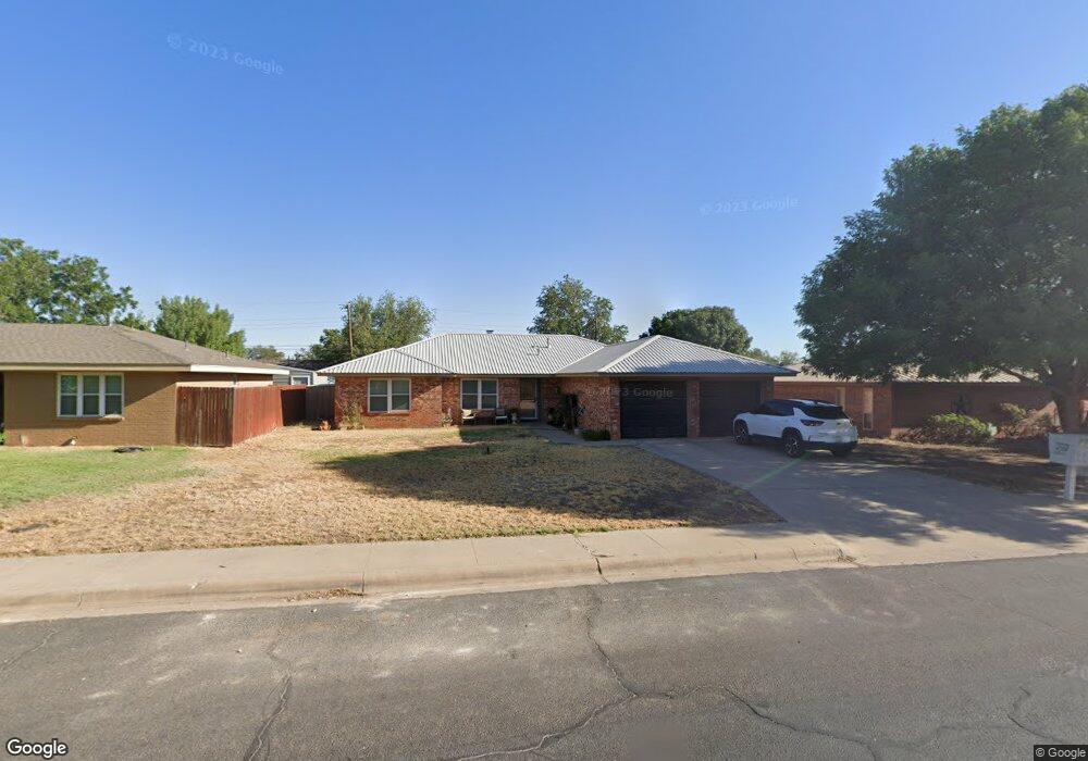
4602 Laura Dr Midland, TX 79703
Bel-Air NeighborhoodEstimated Value: $258,510 - $291,000
4
Beds
2
Baths
1,745
Sq Ft
$156/Sq Ft
Est. Value
About This Home
This home is located at 4602 Laura Dr, Midland, TX 79703 and is currently estimated at $272,378, approximately $156 per square foot. 4602 Laura Dr is a home located in Midland County with nearby schools including Bonham Elementary School, Alamo Junior High School, and Legacy Senior High School.
Ownership History
Date
Name
Owned For
Owner Type
Purchase Details
Closed on
Sep 15, 2003
Sold by
Huff Gordon Blane
Bought by
Lopez Paul
Current Estimated Value
Purchase Details
Closed on
Dec 19, 1995
Bought by
Lopez Paul
Purchase Details
Closed on
May 11, 1995
Bought by
Lopez Paul
Purchase Details
Closed on
Jan 23, 1995
Bought by
Lopez Paul
Purchase Details
Closed on
Apr 15, 1992
Bought by
Lopez Paul
Purchase Details
Closed on
Sep 1, 1985
Bought by
Lopez Paul
Purchase Details
Closed on
Jul 30, 1979
Bought by
Lopez Paul
Create a Home Valuation Report for This Property
The Home Valuation Report is an in-depth analysis detailing your home's value as well as a comparison with similar homes in the area
Home Values in the Area
Average Home Value in this Area
Purchase History
| Date | Buyer | Sale Price | Title Company |
|---|---|---|---|
| Lopez Paul | -- | -- | |
| Lopez Paul | -- | -- | |
| Lopez Paul | -- | -- | |
| Lopez Paul | -- | -- | |
| Lopez Paul | -- | -- | |
| Lopez Paul | -- | -- | |
| Lopez Paul | -- | -- |
Source: Public Records
Tax History Compared to Growth
Tax History
| Year | Tax Paid | Tax Assessment Tax Assessment Total Assessment is a certain percentage of the fair market value that is determined by local assessors to be the total taxable value of land and additions on the property. | Land | Improvement |
|---|---|---|---|---|
| 2025 | $2,070 | $204,370 | $10,970 | $193,400 |
| 2024 | $2,074 | $206,830 | $10,970 | $195,860 |
| 2023 | $1,832 | $192,520 | $10,970 | $181,550 |
| 2022 | $3,130 | $200,320 | $10,970 | $189,350 |
| 2021 | $3,350 | $192,290 | $10,970 | $181,320 |
| 2020 | $2,709 | $185,420 | $10,970 | $174,450 |
| 2019 | $3,387 | $178,930 | $10,970 | $174,450 |
| 2018 | $3,163 | $162,660 | $10,970 | $151,690 |
| 2017 | $3,211 | $165,120 | $10,970 | $154,150 |
| 2016 | $3,221 | $165,370 | $10,970 | $154,400 |
| 2015 | -- | $159,850 | $10,970 | $148,880 |
| 2014 | -- | $157,640 | $10,970 | $146,670 |
Source: Public Records
Map
Nearby Homes
- 904 Goliad Dr
- 800 Goliad Dr
- 4708 Crockett Ave
- 4705 Ric Dr
- 0000 N Midland Dr
- TBD Crockett Ave
- 4729 Country Club Dr
- 4312 Princeton Ave
- 202 N Eisenhower Dr
- 112 N Dewberry Dr
- 4505 Leddy Dr
- 2121 Bonham St
- 4406 Monty Dr
- 4618 Andrews Hwy
- 4620 Andrews Hwy
- 3609 W Kansas Ave
- 1509 Cascade Ct
- 1715 Bates St
- 1808 Northern Ln
- 5121 Sunnyside Dr
- 4600 Laura Dr
- 4604 Laura Dr
- 4603 W Cuthbert Ave
- 4606 Laura Dr
- 4605 W Cuthbert Ave
- 4601 W Cuthbert Ave
- 913 Goliad Dr
- 4605 Laura Dr
- 4607 W Cuthbert Ave
- 4608 Laura Dr
- 4607 Laura Dr
- 911 Goliad Dr
- 912 Goliad Dr
- 914 Goliad Dr
- 4609 W Cuthbert Ave
- 910 Goliad Dr
- 916 Goliad Dr
- 4609 Laura Dr
- 4610 Laura Dr
- 4604 Bowie Dr