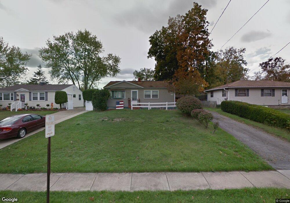
4605 Burkey Rd Youngstown, OH 44515
Austintown NeighborhoodEstimated Value: $136,129 - $150,000
3
Beds
1
Bath
1,008
Sq Ft
$142/Sq Ft
Est. Value
About This Home
This home is located at 4605 Burkey Rd, Youngstown, OH 44515 and is currently estimated at $143,282, approximately $142 per square foot. 4605 Burkey Rd is a home located in Mahoning County with nearby schools including Austintown Elementary School, Austintown Intermediate School, and Austintown Middle School.
Ownership History
Date
Name
Owned For
Owner Type
Purchase Details
Closed on
Aug 28, 2020
Sold by
Howley Frank R and Howley Allyson R
Bought by
Howley Frank R and Howley Allyson R
Current Estimated Value
Purchase Details
Closed on
Mar 7, 2003
Sold by
Medeiros Jon G and Medeiros Pauline S
Bought by
Howley Frank and Howley Allyson R
Home Financials for this Owner
Home Financials are based on the most recent Mortgage that was taken out on this home.
Original Mortgage
$30,600
Interest Rate
6.75%
Purchase Details
Closed on
Nov 27, 1995
Bought by
Howley Frank and Howley Allyson R
Purchase Details
Closed on
Oct 10, 1989
Bought by
Davis Frederick J
Create a Home Valuation Report for This Property
The Home Valuation Report is an in-depth analysis detailing your home's value as well as a comparison with similar homes in the area
Home Values in the Area
Average Home Value in this Area
Purchase History
| Date | Buyer | Sale Price | Title Company |
|---|---|---|---|
| Howley Frank R | -- | None Available | |
| Howley Frank R | -- | None Available | |
| Howley Frank | $34,000 | -- | |
| Howley Frank | -- | -- | |
| Davis Frederick J | $36,000 | -- |
Source: Public Records
Mortgage History
| Date | Status | Borrower | Loan Amount |
|---|---|---|---|
| Closed | Howley Frank | $30,600 |
Source: Public Records
Tax History Compared to Growth
Tax History
| Year | Tax Paid | Tax Assessment Tax Assessment Total Assessment is a certain percentage of the fair market value that is determined by local assessors to be the total taxable value of land and additions on the property. | Land | Improvement |
|---|---|---|---|---|
| 2024 | $1,552 | $33,090 | $5,260 | $27,830 |
| 2023 | $1,528 | $33,090 | $5,260 | $27,830 |
| 2022 | $1,276 | $22,140 | $4,210 | $17,930 |
| 2021 | $1,277 | $22,140 | $4,210 | $17,930 |
| 2020 | $1,283 | $22,140 | $4,210 | $17,930 |
| 2019 | $1,175 | $18,460 | $3,510 | $14,950 |
| 2018 | $1,133 | $18,460 | $3,510 | $14,950 |
| 2017 | $1,130 | $18,460 | $3,510 | $14,950 |
| 2016 | $1,346 | $21,780 | $4,860 | $16,920 |
| 2015 | $1,306 | $21,780 | $4,860 | $16,920 |
| 2014 | $1,312 | $21,780 | $4,860 | $16,920 |
| 2013 | $1,299 | $21,780 | $4,860 | $16,920 |
Source: Public Records
Map
Nearby Homes
- 1439 Bexley Dr
- 603 S Raccoon Rd Unit 9
- 603 S Raccoon Rd Unit 14
- 603 S Raccoon Rd Unit 61
- 170 Idaho Rd
- 0 S Raccoon Rd Unit 5142489
- 4234 Burkey Rd
- 0 Elmwood Ave
- 1707 Westhampton Dr
- 225 S Raccoon Rd
- 4262 Pembrook Rd
- 316 S Inglewood Ave
- 209 S Beverly Ave
- 208 S Roanoke Ave
- 5109 W Elmwood Ave
- 4102 Burkey Rd
- 5179 Willow Crest Ave
- 532 Westgate Blvd
- 124 S Inglewood Ave
- 5256 S Saratoga Ave