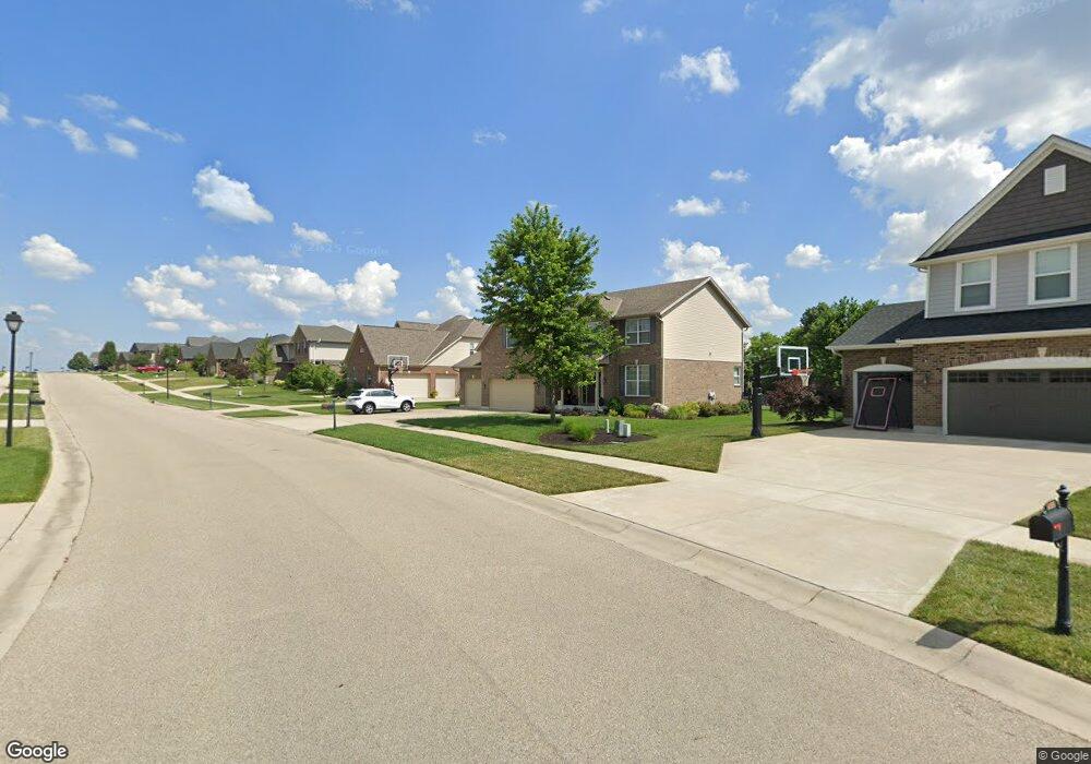
4605 Osprey Pointe Dr Liberty Township, OH 45011
Estimated Value: $534,000 - $575,000
4
Beds
4
Baths
2,502
Sq Ft
$222/Sq Ft
Est. Value
About This Home
This home is located at 4605 Osprey Pointe Dr, Liberty Township, OH 45011 and is currently estimated at $556,575, approximately $222 per square foot. 4605 Osprey Pointe Dr is a home with nearby schools including Cherokee Elementary School, Heritage Early Childhood School, and Lakota Plains Junior School.
Ownership History
Date
Name
Owned For
Owner Type
Purchase Details
Closed on
Oct 20, 2015
Sold by
Dallis Homes Llc
Bought by
Grile Mark D and Grile Rachael C
Current Estimated Value
Home Financials for this Owner
Home Financials are based on the most recent Mortgage that was taken out on this home.
Original Mortgage
$284,000
Outstanding Balance
$223,676
Interest Rate
3.91%
Mortgage Type
New Conventional
Estimated Equity
$332,899
Create a Home Valuation Report for This Property
The Home Valuation Report is an in-depth analysis detailing your home's value as well as a comparison with similar homes in the area
Home Values in the Area
Average Home Value in this Area
Purchase History
| Date | Buyer | Sale Price | Title Company |
|---|---|---|---|
| Grile Mark D | $308,006 | Attorney | |
| Dallis Homes Llc | -- | Stewart Title Co |
Source: Public Records
Mortgage History
| Date | Status | Borrower | Loan Amount |
|---|---|---|---|
| Open | Grile Mark D | $284,000 |
Source: Public Records
Tax History Compared to Growth
Tax History
| Year | Tax Paid | Tax Assessment Tax Assessment Total Assessment is a certain percentage of the fair market value that is determined by local assessors to be the total taxable value of land and additions on the property. | Land | Improvement |
|---|---|---|---|---|
| 2024 | $6,551 | $164,790 | $21,910 | $142,880 |
| 2023 | $6,468 | $165,530 | $21,910 | $143,620 |
| 2022 | $5,410 | $107,580 | $21,910 | $85,670 |
| 2021 | $5,382 | $107,580 | $21,910 | $85,670 |
| 2020 | $5,517 | $107,580 | $21,910 | $85,670 |
| 2019 | $8,872 | $92,100 | $21,400 | $70,700 |
| 2018 | $5,286 | $92,100 | $21,400 | $70,700 |
| 2017 | $5,378 | $92,100 | $21,400 | $70,700 |
| 2016 | $4,811 | $81,800 | $21,400 | $60,400 |
Source: Public Records
Map
Nearby Homes
- 4706 Oakview Ct
- 4821 Osprey Pointe Dr
- 4830 Cobblestone Ln
- 4926 Pebble Ct
- 4930 Pebble Ct
- 4934 Pebble Ct
- 4938 Pebble Ct
- 4946 Pebble Ct
- Allen Plan at Callaway Place - Townhomes
- Avery Plan at Callaway Place - Villas
- 5603 Callaway Dr
- 4895 Osprey Pointe Dr
- Cameron Plan at Callaway Place - Villas
- Bristol Plan at Callaway Place - Villas
- 0 Liberty Square Dr
- 4902 Harrier Ln
- 5765 Keshena Dr
- 4897 Osprey Pointe Dr
- 5567 Eagle Ct
- 5565 Eagle Ct
- 4615 Osprey Pointe Dr
- 4595 Osprey Pointe Dr
- 4625 Osprey Pointe Dr
- 4568 Randall Dr
- 4585 Osprey Pointe Dr
- 4596 Osprey Pointe Dr
- 4606 Osprey Pointe Dr
- 4548 Randall Dr
- 4616 Osprey Pointe Dr
- 4558 Randall Dr
- 4576 Osprey Pointe Dr
- 4626 Osprey Pointe Dr
- 4626 Osprey Pointe Dr
- 4574 Osprey Pointe Dr
- 4578 Randall Dr
- 4588 Randall Dr
- 4575 Osprey Pointe Dr
- 4538 Randall Dr
- 4642 Osprey Pointe Dr
- 4645 Osprey Pointe Dr