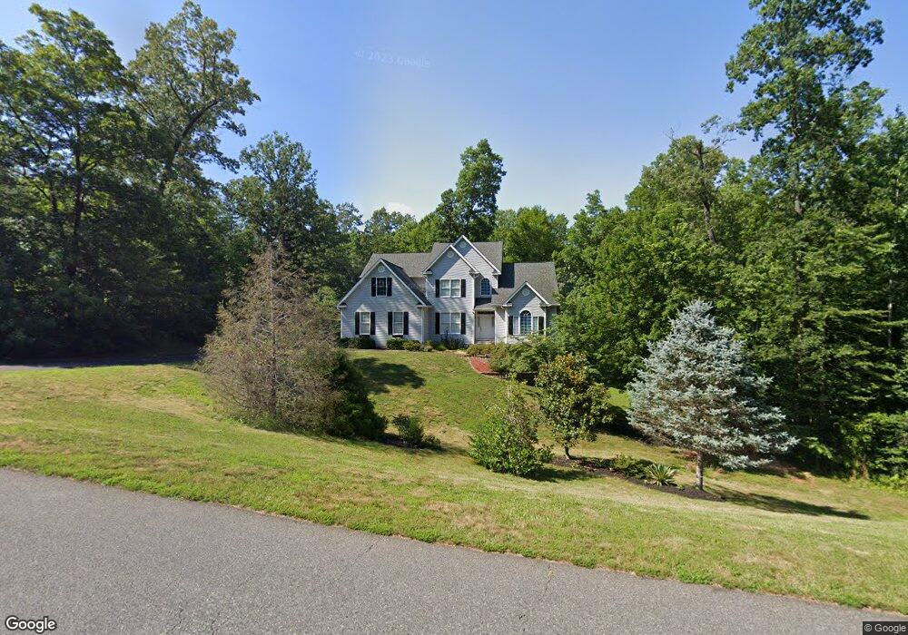
463 Hancock Dr Ruckersville, VA 22968
Estimated Value: $646,000 - $843,000
4
Beds
4
Baths
3,175
Sq Ft
$235/Sq Ft
Est. Value
About This Home
This home is located at 463 Hancock Dr, Ruckersville, VA 22968 and is currently estimated at $746,702, approximately $235 per square foot. 463 Hancock Dr is a home located in Greene County with nearby schools including William Monroe High School.
Ownership History
Date
Name
Owned For
Owner Type
Purchase Details
Closed on
Nov 1, 2012
Sold by
Sargent Gregory and Sargent Barbara
Bought by
Oliver James J
Current Estimated Value
Home Financials for this Owner
Home Financials are based on the most recent Mortgage that was taken out on this home.
Original Mortgage
$409,800
Outstanding Balance
$277,899
Interest Rate
3%
Mortgage Type
VA
Estimated Equity
$468,803
Create a Home Valuation Report for This Property
The Home Valuation Report is an in-depth analysis detailing your home's value as well as a comparison with similar homes in the area
Home Values in the Area
Average Home Value in this Area
Purchase History
| Date | Buyer | Sale Price | Title Company |
|---|---|---|---|
| Oliver James J | $425,000 | None Available |
Source: Public Records
Mortgage History
| Date | Status | Borrower | Loan Amount |
|---|---|---|---|
| Open | Oliver James J | $409,800 |
Source: Public Records
Tax History Compared to Growth
Tax History
| Year | Tax Paid | Tax Assessment Tax Assessment Total Assessment is a certain percentage of the fair market value that is determined by local assessors to be the total taxable value of land and additions on the property. | Land | Improvement |
|---|---|---|---|---|
| 2025 | $4,099 | $594,000 | $115,400 | $478,600 |
| 2024 | $3,934 | $554,100 | $115,400 | $438,700 |
| 2023 | $4,045 | $554,100 | $115,400 | $438,700 |
| 2022 | $3,656 | $445,900 | $115,400 | $330,500 |
| 2021 | $3,656 | $445,900 | $115,400 | $330,500 |
| 2020 | $3,603 | $439,400 | $115,400 | $324,000 |
| 2019 | $3,603 | $439,400 | $115,400 | $324,000 |
| 2018 | $3,312 | $427,300 | $115,400 | $311,900 |
| 2017 | $3,312 | $427,300 | $115,400 | $311,900 |
| 2016 | $3,002 | $387,400 | $124,400 | $263,000 |
| 2015 | $2,906 | $387,400 | $124,400 | $263,000 |
| 2014 | $2,789 | $387,400 | $124,400 | $263,000 |
| 2013 | -- | $387,400 | $124,400 | $263,000 |
Source: Public Records
Map
Nearby Homes
- Lot 68 Palmer Place Unit 68
- Lot 68 Palmer Place
- 242 Palmer Place
- 258 Palmer Place
- Lot 75 Logan Dr Unit 75
- Lot 75 Logan Dr
- 487 Kenwood Ln
- 109 Wind Ridge Dr
- 0 Spotswood Trail Unit 78 661676
- 0 Spotswood Trail Unit 661676
- 59 London Ct
- 15336 Spotswood Trail
- 2211 Carpenters Mill Rd
- 28 W Cedar Dr
- Lot B8 Moore Rd
- Lot A6 Moore Rd Unit A6
- Lot B7 Moore Rd
- Lot B2 Moore Rd Unit B2
- Lot B9 Moore Rd
- Lot A4 Moore Rd
- 443 Hancock Dr
- 405 Hancock Dr
- 486 Hancock Dr
- 524 Hancock Dr
- 410 Hancock Dr
- 563 Hancock Dr
- 343 Hancock Dr
- 167 Palmer Place
- 64 Palmer Place
- 568 Hancock Dr
- 376 Hancock Dr
- 0 Palmer Ct Unit 66 618513
- 0 Palmer Ct Unit 618513
- 615 Hancock Dr
- 63 Palmer Place
- Lot 63 Palmer Place
- 301 Hancock Dr
- 604 Hancock Dr
- 23 Palmer Place
- 294 Logan Dr