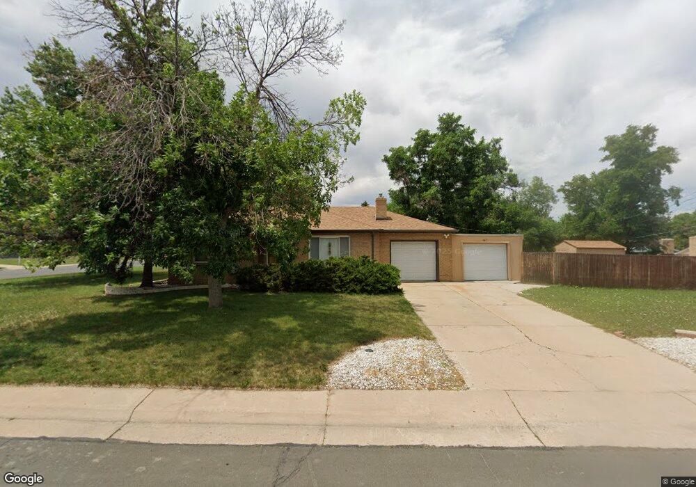
4645 Jay St Wheat Ridge, CO 80033
Barths NeighborhoodEstimated Value: $484,751 - $550,000
2
Beds
2
Baths
1,200
Sq Ft
$441/Sq Ft
Est. Value
About This Home
This home is located at 4645 Jay St, Wheat Ridge, CO 80033 and is currently estimated at $528,688, approximately $440 per square foot. 4645 Jay St is a home located in Jefferson County with nearby schools including Stevens Elementary School, Everitt Middle School, and Wheat Ridge High School.
Ownership History
Date
Name
Owned For
Owner Type
Purchase Details
Closed on
Feb 11, 2020
Sold by
Gentry Keith
Bought by
4645 Jay Llc
Current Estimated Value
Purchase Details
Closed on
Jul 11, 2012
Sold by
Wanczyk Jerome
Bought by
Gentry Keith Dale
Home Financials for this Owner
Home Financials are based on the most recent Mortgage that was taken out on this home.
Original Mortgage
$142,462
Interest Rate
3.7%
Mortgage Type
New Conventional
Create a Home Valuation Report for This Property
The Home Valuation Report is an in-depth analysis detailing your home's value as well as a comparison with similar homes in the area
Home Values in the Area
Average Home Value in this Area
Purchase History
| Date | Buyer | Sale Price | Title Company |
|---|---|---|---|
| 4645 Jay Llc | -- | None Available | |
| Gentry Keith Dale | $189,950 | Fidelity National Title Ins |
Source: Public Records
Mortgage History
| Date | Status | Borrower | Loan Amount |
|---|---|---|---|
| Previous Owner | Gentry Keith Dale | $142,462 |
Source: Public Records
Tax History Compared to Growth
Tax History
| Year | Tax Paid | Tax Assessment Tax Assessment Total Assessment is a certain percentage of the fair market value that is determined by local assessors to be the total taxable value of land and additions on the property. | Land | Improvement |
|---|---|---|---|---|
| 2024 | $2,846 | $32,546 | $16,533 | $16,013 |
| 2023 | $2,846 | $32,546 | $16,533 | $16,013 |
| 2022 | $2,475 | $27,801 | $16,569 | $11,232 |
| 2021 | $2,509 | $28,600 | $17,045 | $11,555 |
| 2020 | $2,319 | $26,559 | $16,084 | $10,475 |
| 2019 | $2,287 | $26,559 | $16,084 | $10,475 |
| 2018 | $1,956 | $21,951 | $9,473 | $12,478 |
| 2017 | $1,766 | $21,951 | $9,473 | $12,478 |
| 2016 | $1,536 | $17,862 | $6,280 | $11,582 |
| 2015 | $1,294 | $17,862 | $6,280 | $11,582 |
| 2014 | $1,294 | $14,121 | $5,731 | $8,390 |
Source: Public Records
Map
Nearby Homes
- 4835 Harlan St Unit 14-17
- 4730 Otis St
- 6105 W 49th Place
- 4730 Pierce St
- 6920 W 48th Ave Unit 6920
- 6920 W 47th Place
- 4295 Harlan St
- 4860 Depew St
- 4877 Chase St
- 4541 Reed St
- 7010 W 44th Ave
- 4635 Teller St
- 4420 Teller St
- 7221 W 48th Ave
- 4125 Pierce St
- 5138 W 46th Ave
- 5926 W 41st Ave Unit 10
- 4144 Depew St
- 4045 Fenton Ct
- 4320 Benton St
- 6225 W 46th Place
- 4675 Jay St
- 6235 W 46th Place
- 4660 Jay St
- 6220 W 47th Ave
- 4670 Jay St
- 4640 Jay St
- 6200 W 46th Place
- 4680 Jay St
- 6230 W 46th Place
- 6230 W 47th Ave
- 6245 W 46th Place
- 6260 W 46th Place
- 4630 Jay St
- 4690 Jay St
- 6240 W 47th Ave
- 4665 Ingalls St
- 4675 Ingalls St
- 6280 W 46th Place
- 4685 Ingalls St