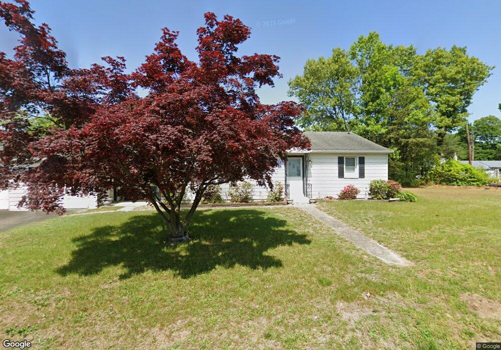
465 Longwood Ave Woodbury, NJ 08096
Deptford Township NeighborhoodEstimated Value: $234,032 - $302,000
--
Bed
--
Bath
1,344
Sq Ft
$205/Sq Ft
Est. Value
About This Home
This home is located at 465 Longwood Ave, Woodbury, NJ 08096 and is currently estimated at $275,758, approximately $205 per square foot. 465 Longwood Ave is a home located in Gloucester County with nearby schools including Deptford Township High School and St. Teresa Regional School.
Ownership History
Date
Name
Owned For
Owner Type
Purchase Details
Closed on
May 22, 2024
Sold by
Branca John and Nestore Gabriella
Bought by
Nestore Maria
Current Estimated Value
Purchase Details
Closed on
Sep 9, 2021
Sold by
Boucher Beverly L
Bought by
Boucher Frank T
Purchase Details
Closed on
Jul 21, 2010
Sold by
Branca John
Bought by
Branca John
Purchase Details
Closed on
Apr 5, 2000
Sold by
Branca Elizabeth B
Bought by
Branca John and Branca Stella
Purchase Details
Closed on
Aug 8, 1996
Sold by
Branca John and Branca Stella
Bought by
Branca Elizabeth B
Create a Home Valuation Report for This Property
The Home Valuation Report is an in-depth analysis detailing your home's value as well as a comparison with similar homes in the area
Home Values in the Area
Average Home Value in this Area
Purchase History
| Date | Buyer | Sale Price | Title Company |
|---|---|---|---|
| Nestore Maria | -- | None Listed On Document | |
| Nestore Maria | -- | None Listed On Document | |
| Boucher Frank T | -- | Carlamere David F | |
| Branca John | -- | None Available | |
| Branca John | -- | -- | |
| Branca Elizabeth B | -- | -- |
Source: Public Records
Tax History Compared to Growth
Tax History
| Year | Tax Paid | Tax Assessment Tax Assessment Total Assessment is a certain percentage of the fair market value that is determined by local assessors to be the total taxable value of land and additions on the property. | Land | Improvement |
|---|---|---|---|---|
| 2025 | $5,231 | $145,900 | $42,700 | $103,200 |
| 2024 | $5,063 | $145,900 | $42,700 | $103,200 |
| 2023 | $5,063 | $145,900 | $42,700 | $103,200 |
| 2022 | $5,026 | $145,900 | $42,700 | $103,200 |
| 2021 | $4,455 | $145,900 | $42,700 | $103,200 |
| 2020 | $4,898 | $145,900 | $42,700 | $103,200 |
| 2019 | $4,804 | $145,900 | $42,700 | $103,200 |
| 2018 | $4,697 | $145,900 | $42,700 | $103,200 |
| 2017 | $4,765 | $152,100 | $43,400 | $108,700 |
| 2016 | $4,168 | $152,100 | $43,400 | $108,700 |
| 2015 | $4,023 | $152,100 | $43,400 | $108,700 |
| 2014 | $3,906 | $152,100 | $43,400 | $108,700 |
Source: Public Records
Map
Nearby Homes
- 1924 Rosemore Ave
- 0 Summit Ave
- 1918 Point Pleasant Ave
- 434 Summit Ave
- 1832 County House Rd
- 1515 Hurffville Rd
- 427 Fern Ave
- 429 Fern Ave
- 432 Oak Ave
- 0 Ethel Ave
- 439 Pine Ave
- 415 Rankin Ave
- 436 Rankin Ave
- 47 Jones Ave
- 529 Mcnaughton Ave
- 571 Almonesson Rd
- 28 Hemlock Dr
- 0 1st Ave Unit NJGL2036888
- 1602 Almonesson Rd
- 1554 Good Intent Rd
- 1882 Asbury Ave
- 1901 Manhassett Ave
- 468 Longwood Ave
- 1875 Manhassett Ave
- 1874 Asbury Ave
- 471 Longwood Ave
- 1888 Manhassett Ave
- 1867 Manhassett Ave
- 1878 Manhassett Ave
- 1916 Asbury Ave
- 1901 Asbury Ave
- 1875 Asbury Ave
- 1913 Manhassett Ave
- 1864 Asbury Ave
- 1870 Manhassett Ave
- 1869 Asbury Ave
- 1880 Pasadena Ave
- 1866 Manhassett Ave
- 1859 Manhassett Ave
- 1863 Asbury Ave