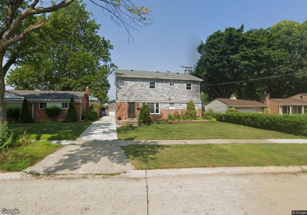
4652 Carolee Ln Dearborn Heights, MI 48125
Estimated Value: $158,000 - $257,324
4
Beds
2
Baths
1,026
Sq Ft
$219/Sq Ft
Est. Value
About This Home
This home is located at 4652 Carolee Ln, Dearborn Heights, MI 48125 and is currently estimated at $225,081, approximately $219 per square foot. 4652 Carolee Ln is a home located in Wayne County with nearby schools including West Village Academy and Quest Charter Academy.
Ownership History
Date
Name
Owned For
Owner Type
Purchase Details
Closed on
Dec 10, 2010
Sold by
Garriga Carlos J and Garriga Melinda
Bought by
Nasser Abrahim
Current Estimated Value
Purchase Details
Closed on
Sep 25, 2010
Sold by
Bac Home Loans Servicing Lp
Bought by
Federal National Mortgage Association
Purchase Details
Closed on
Sep 8, 2010
Sold by
Garriga Carlos J and Garriga Melinda
Bought by
Bac Home Loans Servicing L P
Purchase Details
Closed on
Feb 27, 2004
Sold by
Doyle Corey P and Doyle Heather
Bought by
Garriga Carlos J
Purchase Details
Closed on
Oct 16, 2000
Sold by
Donley Chris M
Bought by
Doyle Corey P
Create a Home Valuation Report for This Property
The Home Valuation Report is an in-depth analysis detailing your home's value as well as a comparison with similar homes in the area
Home Values in the Area
Average Home Value in this Area
Purchase History
| Date | Buyer | Sale Price | Title Company |
|---|---|---|---|
| Nasser Abrahim | $45,900 | Capital Title Insurance Agen | |
| Federal National Mortgage Association | -- | None Available | |
| Bac Home Loans Servicing L P | $125,301 | None Available | |
| Garriga Carlos J | $131,000 | Multiple | |
| Doyle Corey P | $120,000 | -- |
Source: Public Records
Tax History Compared to Growth
Tax History
| Year | Tax Paid | Tax Assessment Tax Assessment Total Assessment is a certain percentage of the fair market value that is determined by local assessors to be the total taxable value of land and additions on the property. | Land | Improvement |
|---|---|---|---|---|
| 2025 | $2,265 | $145,000 | $0 | $0 |
| 2024 | $2,265 | $103,300 | $0 | $0 |
| 2023 | $1,482 | $71,100 | $0 | $0 |
| 2022 | $2,012 | $61,000 | $0 | $0 |
| 2021 | $2,015 | $52,400 | $0 | $0 |
| 2019 | $1,834 | $41,700 | $0 | $0 |
| 2018 | $1,283 | $38,300 | $0 | $0 |
| 2017 | $1,009 | $38,100 | $0 | $0 |
| 2016 | $1,745 | $38,700 | $0 | $0 |
| 2015 | $3,600 | $36,000 | $0 | $0 |
| 2013 | $3,750 | $38,300 | $0 | $0 |
| 2010 | -- | $42,400 | $0 | $0 |
Source: Public Records
Map
Nearby Homes
- 24754 Annapolis St
- 24727 Hopkins St
- 4856 Carolee Ln
- 25118 Lehigh St
- 25243 Lehigh St
- 25212 Lehigh St
- 4147 Westlake St
- 25085 Colgate St
- 25474 McDonald St
- 5118 Michael St
- 24635 Stanford St
- 24426 Lehigh St
- 24409 Stanford St
- 24443 Powers Ave
- 24360 Pennie St
- 24339 Eton Ave
- 24800 Dartmouth St
- 25628 Powers Ave
- 24716 Ross St
- 24117 Eton Ave
- 4666 Carolee Ln
- 25061 Annapolis St
- 4632 Carolee Ln
- 4682 Carolee Ln
- 4804 Carolee Ln
- 4649 Carolee Ln
- 4665 Carolee Ln
- 4631 Carolee Ln
- 4683 Carolee Ln
- 4816 Carolee Ln
- 4805 Carolee Ln
- 25023 Annapolis St
- 4650 Westlake St
- 4672 Westlake St
- 4830 Carolee Ln
- 25062 Annapolis St
- 25054 Annapolis St Unit Bldg-Unit
- 4800 Westlake St
- 25046 Annapolis St
- 25070 Annapolis St