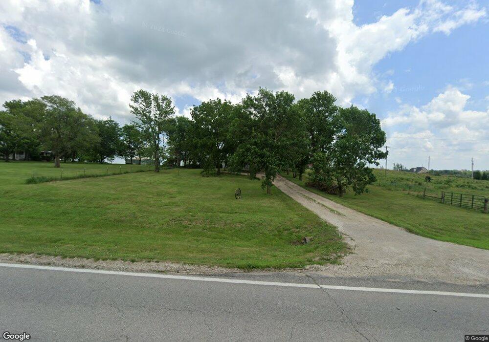
4655 Highway 63 Saint Marys, KS 66536
Estimated Value: $201,000 - $386,000
3
Beds
1
Bath
1,228
Sq Ft
$223/Sq Ft
Est. Value
About This Home
This home is located at 4655 Highway 63, Saint Marys, KS 66536 and is currently estimated at $273,530, approximately $222 per square foot. 4655 Highway 63 is a home located in Pottawatomie County with nearby schools including St. Marys Elementary School and St. Marys Junior/Senior High School.
Ownership History
Date
Name
Owned For
Owner Type
Purchase Details
Closed on
Aug 19, 2008
Sold by
Smith Roy H and Smith Roy H
Bought by
Herpak Karen B
Current Estimated Value
Home Financials for this Owner
Home Financials are based on the most recent Mortgage that was taken out on this home.
Original Mortgage
$50,000
Outstanding Balance
$33,153
Interest Rate
6.54%
Estimated Equity
$240,377
Create a Home Valuation Report for This Property
The Home Valuation Report is an in-depth analysis detailing your home's value as well as a comparison with similar homes in the area
Home Values in the Area
Average Home Value in this Area
Purchase History
| Date | Buyer | Sale Price | Title Company |
|---|---|---|---|
| Herpak Karen B | -- | Kansas Secured Title |
Source: Public Records
Mortgage History
| Date | Status | Borrower | Loan Amount |
|---|---|---|---|
| Open | Herpak Karen B | $50,000 |
Source: Public Records
Tax History Compared to Growth
Tax History
| Year | Tax Paid | Tax Assessment Tax Assessment Total Assessment is a certain percentage of the fair market value that is determined by local assessors to be the total taxable value of land and additions on the property. | Land | Improvement |
|---|---|---|---|---|
| 2025 | $1,554 | $23,035 | $4,269 | $18,766 |
| 2024 | $16 | $22,908 | $3,924 | $18,984 |
| 2023 | $1,231 | $17,150 | $3,923 | $13,227 |
| 2022 | $1,110 | $16,804 | $3,748 | $13,056 |
| 2021 | $1,110 | $15,560 | $3,748 | $11,812 |
| 2020 | $1,110 | $15,511 | $3,748 | $11,763 |
| 2019 | $1,120 | $15,411 | $3,462 | $11,949 |
| 2018 | $1,195 | $15,456 | $3,460 | $11,996 |
| 2017 | $1,148 | $15,054 | $3,373 | $11,681 |
| 2016 | $1,137 | $15,445 | $2,698 | $12,747 |
| 2015 | -- | $14,912 | $2,698 | $12,214 |
| 2014 | -- | $14,076 | $1,571 | $12,505 |
Source: Public Records
Map
Nearby Homes
- 1224 N Pawnee Dr
- Lot 1 Valley View Rd
- Lot 5 Valley View Rd
- Lot 20 Valley View Rd
- Lot 13 Valley View Rd
- Lot 4 Valley View Rd
- Lot 2 Valley View Rd
- Lot 17 Valley View Rd
- Lot 6 Valley View Rd
- Lot 19 Valley View Rd
- Lot 18 Valley View Rd
- Lot 24 Valley View Rd
- Lot 8 Valley View Rd
- 300 W Durink St
- 28221 Doyle Creek Rd
- 25160 Highway 24
- tract 2 Highway 24
- 4755 Highway 63
- 28037 Country Breeze Dr
- 28100 Gailand Rd
- 28083 Country Breeze Dr
- 28125 Country Breeze Dr
- 28144 Gailand Rd
- 28165 Country Breeze Dr
- 28078 Wildrose Cir
- 4650 Highway 63
- 28095 Gailand Rd
- 28045 Gailand Rd
- 00000 Country Breeze Dr
- 28127 Gailand Rd
- 28223 Country Breeze Dr
- 28114 Country Breeze Dr
- 28220 Gailand Rd
- 28179 Gailand Rd
- 28156 Country Breeze Dr
- 28200 Wildrose Cir
- 28186 Wildrose Cir