4675 Coles Ferry Pike Lebanon, TN 37087
Estimated Value: $381,000 - $445,000
3
Beds
2
Baths
1,838
Sq Ft
$231/Sq Ft
Est. Value
About This Home
This home is located at 4675 Coles Ferry Pike, Lebanon, TN 37087 and is currently estimated at $425,219, approximately $231 per square foot. 4675 Coles Ferry Pike is a home located in Wilson County with nearby schools including Carroll Oakland Elementary School, Lebanon High School, and Friendship Christian School.
Ownership History
Date
Name
Owned For
Owner Type
Purchase Details
Closed on
Nov 16, 2015
Sold by
Nelson Margaret W
Bought by
Torgeson L S L and Torgeson T
Current Estimated Value
Home Financials for this Owner
Home Financials are based on the most recent Mortgage that was taken out on this home.
Original Mortgage
$147,250
Outstanding Balance
$116,211
Interest Rate
3.89%
Mortgage Type
New Conventional
Estimated Equity
$309,008
Purchase Details
Closed on
Nov 13, 2015
Sold by
Nelson Margaret W
Bought by
Torgeson L Scott L L and Torgeson Janelle
Home Financials for this Owner
Home Financials are based on the most recent Mortgage that was taken out on this home.
Original Mortgage
$147,250
Outstanding Balance
$116,211
Interest Rate
3.89%
Mortgage Type
New Conventional
Estimated Equity
$309,008
Purchase Details
Closed on
Aug 9, 2004
Sold by
Trice John R Trustee
Bought by
Nelson Margaret W
Create a Home Valuation Report for This Property
The Home Valuation Report is an in-depth analysis detailing your home's value as well as a comparison with similar homes in the area
Home Values in the Area
Average Home Value in this Area
Purchase History
| Date | Buyer | Sale Price | Title Company |
|---|---|---|---|
| Torgeson L S L | $155,000 | -- | |
| Torgeson L Scott L L | $155,000 | -- | |
| Nelson Margaret W | -- | -- |
Source: Public Records
Mortgage History
| Date | Status | Borrower | Loan Amount |
|---|---|---|---|
| Open | Torgeson L S L | $147,250 | |
| Closed | Nelson Margaret W | $147,250 |
Source: Public Records
Tax History Compared to Growth
Tax History
| Year | Tax Paid | Tax Assessment Tax Assessment Total Assessment is a certain percentage of the fair market value that is determined by local assessors to be the total taxable value of land and additions on the property. | Land | Improvement |
|---|---|---|---|---|
| 2024 | $1,134 | $59,425 | $21,600 | $37,825 |
| 2022 | $1,134 | $59,425 | $21,600 | $37,825 |
| 2021 | $1,134 | $59,425 | $21,600 | $37,825 |
| 2020 | $1,012 | $59,425 | $21,600 | $37,825 |
| 2019 | $1,012 | $40,175 | $18,625 | $21,550 |
| 2018 | $1,012 | $40,175 | $18,625 | $21,550 |
| 2017 | $1,012 | $40,175 | $18,625 | $21,550 |
| 2016 | $946 | $37,550 | $18,625 | $18,925 |
| 2015 | $965 | $37,550 | $18,625 | $18,925 |
| 2014 | $968 | $37,648 | $0 | $0 |
Source: Public Records
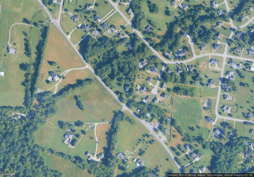
Map
Nearby Homes
- 128 Mann Rd
- 615 Greene Dr
- 160 Mann Rd
- 0 Coles Ferry Pike Unit RTC3001704
- 0 Trice Rd
- 0 Berea Church Rd
- 601 Doe Ridge Ct
- 758 Holt Rd
- 811 Brook Trail
- 906 Koble Dr
- 1276 Trice Rd
- 1009 Stone Creek Ln
- 849 Brook Trail
- 1102 Collin Dr #206
- 854 Brook Trail
- 848 Brook Trail
- 1003 Stone Creek Ln #221
- 1103 Collin Dr
- 1107 Collin Dr
- 1108 Collin Dr #209
- 804 Kimber Ln
- 806 Kimber Ln
- 802 Kimber Ln
- 4777 Coles Ferry Pike
- 134 Kimber Ln
- 135 Kimber Ln
- 1014 Clay Place
- 4615 Coles Ferry Pike
- 807 Kimber Ln
- 4599 Coles Ferry Pike
- 800 Kimber Ln
- 1012 Clay Place
- 803 Kimber Ln
- 805 Kimber Ln
- 801 Kimber Ln
- 1010 Clay Place
- 1018 Clay Place
- 1015 Clay Place
- 4545 Coles Ferry Pike
- 1008 Clay Place