4675 Laurel Rd Brunswick, OH 44212
Estimated Value: $364,119 - $436,000
4
Beds
1
Bath
1,508
Sq Ft
$276/Sq Ft
Est. Value
About This Home
This home is located at 4675 Laurel Rd, Brunswick, OH 44212 and is currently estimated at $416,030, approximately $275 per square foot. 4675 Laurel Rd is a home located in Medina County with nearby schools including Huntington Elementary School, Willets Middle School, and Brunswick High School.
Ownership History
Date
Name
Owned For
Owner Type
Purchase Details
Closed on
Apr 19, 2005
Sold by
Stidham Ernest Edward and Stidham Judy
Bought by
Geis Roger W and Arensberg Debra S
Current Estimated Value
Home Financials for this Owner
Home Financials are based on the most recent Mortgage that was taken out on this home.
Original Mortgage
$205,000
Interest Rate
6.06%
Mortgage Type
Fannie Mae Freddie Mac
Create a Home Valuation Report for This Property
The Home Valuation Report is an in-depth analysis detailing your home's value as well as a comparison with similar homes in the area
Home Values in the Area
Average Home Value in this Area
Purchase History
| Date | Buyer | Sale Price | Title Company |
|---|---|---|---|
| Geis Roger W | $265,000 | Williamson Title Agency Inc |
Source: Public Records
Mortgage History
| Date | Status | Borrower | Loan Amount |
|---|---|---|---|
| Closed | Geis Roger W | $205,000 |
Source: Public Records
Tax History Compared to Growth
Tax History
| Year | Tax Paid | Tax Assessment Tax Assessment Total Assessment is a certain percentage of the fair market value that is determined by local assessors to be the total taxable value of land and additions on the property. | Land | Improvement |
|---|---|---|---|---|
| 2024 | $5,585 | $98,320 | $50,460 | $47,860 |
| 2023 | $5,585 | $98,320 | $50,460 | $47,860 |
| 2022 | $5,307 | $98,320 | $50,460 | $47,860 |
| 2021 | $4,825 | $78,660 | $40,370 | $38,290 |
| 2020 | $4,386 | $78,660 | $40,370 | $38,290 |
| 2019 | $4,387 | $78,660 | $40,370 | $38,290 |
| 2018 | $4,246 | $73,250 | $34,880 | $38,370 |
| 2017 | $4,252 | $73,250 | $34,880 | $38,370 |
| 2016 | $4,250 | $73,250 | $34,880 | $38,370 |
| 2015 | $3,921 | $67,820 | $32,290 | $35,530 |
| 2014 | $3,912 | $67,820 | $32,290 | $35,530 |
| 2013 | $3,919 | $67,820 | $32,290 | $35,530 |
Source: Public Records
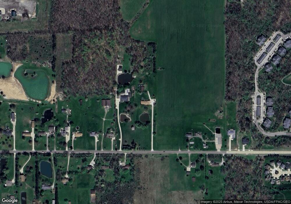
Map
Nearby Homes
- VL Laurel & Substation Rd
- 4464 Newcastle Cove
- 1536 Jefferson Ave
- 1389 Mussel Shoals Dr
- 1431 Roosevelt Ave
- 1591 Pearl Rd
- 4408 Center Rd
- 4200 Raymond Dr
- 5035 Center Rd
- 1200 Mulberry Ln
- 4186 Saint James Dr
- 1202 Substation Rd
- 0 Pearl Rd Unit 4173749
- V/L Pearl Rd
- 2088 Glenmont
- 5101 Center Rd
- 2090 Glenmont
- 2091 Glenmont
- 2097 Glenmont
- ABBY TH Plan at Market Highlands
- 4697 Laurel Rd
- 4709 Laurel Rd
- 4712 Laurel Rd
- 4725 Laurel Rd
- 4694 Laurel Rd
- 4626 Laurel Rd
- 4732 Laurel Rd
- 4741 Laurel Rd
- 4755 Laurel Rd
- 4760 Laurel Rd
- 4678 Inverness Ave
- 4686 Inverness Ave
- 4593 Laurel Rd
- 4672 Inverness Ave
- 4604 Laurel Rd
- 4604 Laurel Rd
- 4604 Laurel Rd Unit REAR
- 4604 Laurel Rd Unit REAR
- 4694 Inverness Ave
- 4648 4604 Laurel Rd