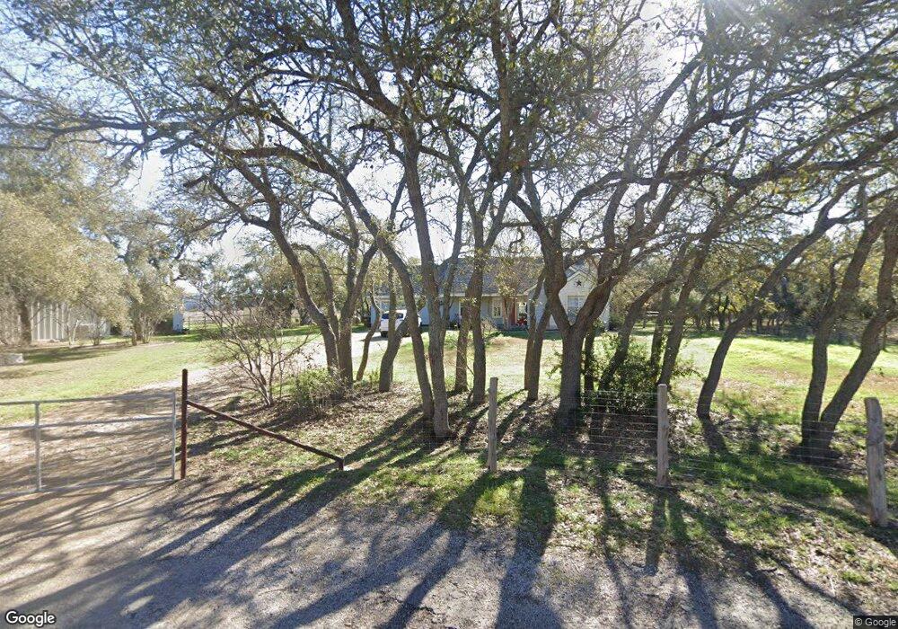
469 Carol Ann Dr Austin, TX 78737
Estimated Value: $609,000 - $689,000
--
Bed
--
Bath
1,515
Sq Ft
$435/Sq Ft
Est. Value
About This Home
This home is located at 469 Carol Ann Dr, Austin, TX 78737 and is currently estimated at $659,600, approximately $435 per square foot. 469 Carol Ann Dr is a home located in Hays County with nearby schools including Dripping Springs Middle School and Dripping Springs High School.
Ownership History
Date
Name
Owned For
Owner Type
Purchase Details
Closed on
Aug 29, 2018
Sold by
Kirkendall Terry Joe and Kirkendall Sara Jean
Bought by
Sensenderfer William
Current Estimated Value
Home Financials for this Owner
Home Financials are based on the most recent Mortgage that was taken out on this home.
Original Mortgage
$405,000
Outstanding Balance
$352,456
Interest Rate
4.5%
Mortgage Type
New Conventional
Estimated Equity
$307,144
Purchase Details
Closed on
Feb 9, 1998
Sold by
Robertson David
Bought by
Kirkendall Terry Joe and Sara Jean
Create a Home Valuation Report for This Property
The Home Valuation Report is an in-depth analysis detailing your home's value as well as a comparison with similar homes in the area
Home Values in the Area
Average Home Value in this Area
Purchase History
| Date | Buyer | Sale Price | Title Company |
|---|---|---|---|
| Sensenderfer William | -- | Corridor Title | |
| Kirkendall Terry Joe | -- | -- |
Source: Public Records
Mortgage History
| Date | Status | Borrower | Loan Amount |
|---|---|---|---|
| Open | Sensenderfer William | $405,000 |
Source: Public Records
Tax History Compared to Growth
Tax History
| Year | Tax Paid | Tax Assessment Tax Assessment Total Assessment is a certain percentage of the fair market value that is determined by local assessors to be the total taxable value of land and additions on the property. | Land | Improvement |
|---|---|---|---|---|
| 2025 | $9,097 | $589,029 | $290,670 | $298,359 |
| 2024 | $9,097 | $653,800 | $290,670 | $363,130 |
| 2023 | $9,782 | $647,774 | $290,670 | $498,460 |
| 2022 | $10,044 | $588,885 | $401,520 | $417,930 |
| 2021 | $10,187 | $544,500 | $137,230 | $432,520 |
| 2020 | $8,906 | $495,000 | $78,420 | $416,730 |
| 2019 | $9,280 | $450,000 | $60,770 | $389,230 |
| 2018 | $5,871 | $283,120 | $60,770 | $222,350 |
| 2017 | $5,575 | $266,820 | $60,770 | $206,050 |
| 2016 | $5,336 | $255,350 | $60,770 | $194,580 |
| 2015 | $4,608 | $245,990 | $60,770 | $185,220 |
Source: Public Records
Map
Nearby Homes
- 190 Carol Ann Dr
- 12609 Pauls Valley Rd
- 12600 Trail Driver St
- 12904 Wells Fargo St
- 13005 D Fitzhugh Rd
- 14610 Fitzhugh Rd
- 13400 Paisano Trail
- 4 Midnight Sky Dr
- 5 Midnight Sky Dr
- 12621 Fitzhugh Rd
- 13590 Paisano Trail
- 12290 Trautwein Rd
- 13601 Paisano Trail
- TBD Fitzhugh Rd
- 10921 Long Branch Dr
- Tbd Fitzhugh Rd
- 12605 Fitzhugh Rd
- 13601 Paisano Cir
- 15000 Fitzhugh Rd
- 400 Sundown Ridge
- 496 Carol Ann Dr
- 9 Carol Ann Dr
- 495 Carol Ann Dr
- 405 Carol Ann Dr
- 400 Carol Ann Dr
- 13515 Fitzhugh Rd
- 12409 Driver
- 0 Fitzhugh Rd
- TBD Carol Ann Dr
- 13505 Fitzhugh Rd Unit B
- 13505 Fitzhugh Rd Unit 2A and 2B
- 13505 Fitzhugh Rd Unit 1
- 13505 Fitzhugh Rd
- 13505 Fitzhugh Rd Unit 2
- 13505 Fitzhugh Rd Unit 3
- 12420 Trail Driver St
- 13617 Fitzhugh Rd
- 13575 Fitzhugh Rd Unit 100
- 0 Trail Driver Unit 3257207
- 0 Trail Driver Unit 9785151