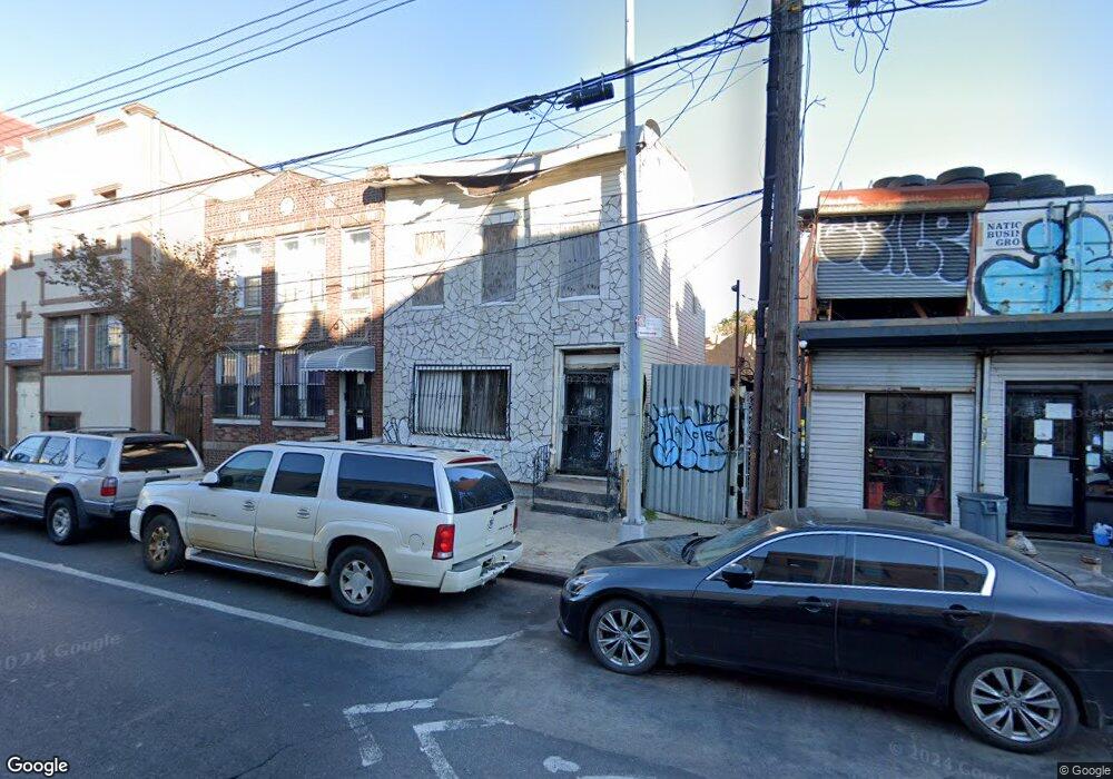
469 Liberty Ave Brooklyn, NY 11207
East New York NeighborhoodEstimated Value: $747,000 - $817,000
--
Bed
--
Bath
1,692
Sq Ft
$459/Sq Ft
Est. Value
About This Home
This home is located at 469 Liberty Ave, Brooklyn, NY 11207 and is currently estimated at $776,118, approximately $458 per square foot. 469 Liberty Ave is a home located in Kings County with nearby schools including P.S. 149 Danny Kaye, Liberty Avenue Middle School, and Vista Academy.
Ownership History
Date
Name
Owned For
Owner Type
Purchase Details
Closed on
Apr 3, 2007
Sold by
Celestin Joseph and Wilson Kevin
Bought by
Wilson Kevin and Wilson Sherwin
Current Estimated Value
Purchase Details
Closed on
Apr 19, 2006
Sold by
Celestin Joseph
Bought by
Celestin Joseph and Wilson Kevin
Purchase Details
Closed on
Sep 20, 2005
Sold by
Gray Dulcie Panton and Gray Leslie
Bought by
Celestin Joseph
Home Financials for this Owner
Home Financials are based on the most recent Mortgage that was taken out on this home.
Original Mortgage
$399,200
Outstanding Balance
$213,036
Interest Rate
5.81%
Mortgage Type
Purchase Money Mortgage
Estimated Equity
$563,082
Purchase Details
Closed on
Jun 25, 2004
Sold by
Gray Leslie L
Bought by
Gray Leslie L and Panton-Gray Dulcie H
Home Financials for this Owner
Home Financials are based on the most recent Mortgage that was taken out on this home.
Original Mortgage
$343,550
Interest Rate
6.32%
Mortgage Type
Purchase Money Mortgage
Purchase Details
Closed on
Jan 24, 2002
Sold by
Hud
Bought by
Bacchus Azeez A
Home Financials for this Owner
Home Financials are based on the most recent Mortgage that was taken out on this home.
Original Mortgage
$156,750
Interest Rate
7.04%
Purchase Details
Closed on
Jul 26, 2000
Sold by
Aurora Loan Services Inc
Bought by
Hud
Purchase Details
Closed on
Apr 24, 1998
Sold by
Belgrave Cleveland
Bought by
Htb Enterprises Ltd
Purchase Details
Closed on
Mar 1, 1997
Sold by
Torres Janet
Bought by
Belgrave Cleveland
Home Financials for this Owner
Home Financials are based on the most recent Mortgage that was taken out on this home.
Original Mortgage
$165,800
Interest Rate
7.88%
Mortgage Type
FHA
Create a Home Valuation Report for This Property
The Home Valuation Report is an in-depth analysis detailing your home's value as well as a comparison with similar homes in the area
Home Values in the Area
Average Home Value in this Area
Purchase History
| Date | Buyer | Sale Price | Title Company |
|---|---|---|---|
| Wilson Kevin | -- | -- | |
| Wilson Kevin | -- | -- | |
| Celestin Joseph | -- | -- | |
| Celestin Joseph | -- | -- | |
| Celestin Joseph | $499,000 | -- | |
| Celestin Joseph | $499,000 | -- | |
| Gray Leslie L | -- | -- | |
| Gray Leslie L | $349,000 | -- | |
| Gray Leslie L | -- | -- | |
| Gray Leslie L | $349,000 | -- | |
| Bacchus Azeez A | -- | -- | |
| Bacchus Azeez A | -- | -- | |
| Hud | -- | -- | |
| Hud | -- | -- | |
| Htb Enterprises Ltd | $3,000 | Fidelity National Title Ins | |
| Htb Enterprises Ltd | $3,000 | Fidelity National Title Ins | |
| Belgrave Cleveland | $168,000 | Stewart Title Insurance Co | |
| Belgrave Cleveland | $168,000 | Stewart Title Insurance Co |
Source: Public Records
Mortgage History
| Date | Status | Borrower | Loan Amount |
|---|---|---|---|
| Open | Celestin Joseph | $399,200 | |
| Closed | Celestin Joseph | $399,200 | |
| Previous Owner | Gray Leslie L | $343,550 | |
| Previous Owner | Bacchus Azeez A | $156,750 | |
| Previous Owner | Belgrave Cleveland | $165,800 |
Source: Public Records
Tax History Compared to Growth
Tax History
| Year | Tax Paid | Tax Assessment Tax Assessment Total Assessment is a certain percentage of the fair market value that is determined by local assessors to be the total taxable value of land and additions on the property. | Land | Improvement |
|---|---|---|---|---|
| 2025 | $4,454 | $51,600 | $14,340 | $37,260 |
| 2024 | $4,454 | $40,740 | $14,340 | $26,400 |
| 2023 | $4,249 | $49,200 | $14,340 | $34,860 |
| 2022 | $3,941 | $40,260 | $14,340 | $25,920 |
| 2021 | $3,921 | $44,160 | $14,340 | $29,820 |
| 2020 | $2,935 | $41,640 | $14,340 | $27,300 |
| 2019 | $3,866 | $35,400 | $14,340 | $21,060 |
| 2018 | $3,647 | $17,434 | $7,508 | $9,926 |
| 2016 | $3,104 | $15,525 | $7,650 | $7,875 |
| 2015 | $1,872 | $15,525 | $6,436 | $9,089 |
| 2014 | $1,872 | $15,400 | $7,661 | $7,739 |
Source: Public Records
Map
Nearby Homes
- 159 Wyona St
- 207 Bradford St
- 174 van Siclen Ave
- 168 Miller Ave
- 2825 Atlantic Ave
- 95 Wyona St
- 243 Wyona St
- 303 Hendrix St
- 202 Schenck Ave
- 90 Wyona St
- 279 van Siclen Ave
- 572 Glenmore Ave
- 2735 Fulton St
- 576 Glenmore Ave
- 57 Wyona St
- 2210 Pitkin Ave
- 52 Bradford St
- 2830 Fulton St
- 124 Pennsylvania Ave
- 590 Liberty Ave
- 471 Liberty Ave
- 465 Liberty Ave
- 463 Liberty Ave
- 477 Liberty Ave
- 165 Bradford St
- 170-178 Bradford St
- 170 Bradford St Unit 2
- 170 Bradford St
- 91 & 89 Bradford St
- 453 Liberty Ave
- 453 Liberty Ave Unit Building
- 460 Liberty Ave
- 157 Bradford St
- 486 Liberty Ave
- 168 Bradford St
- 451 Liberty Ave
- 220 Miller Ave
- 155 Bradford St
- 216 Miller Ave
- 487 Liberty Ave