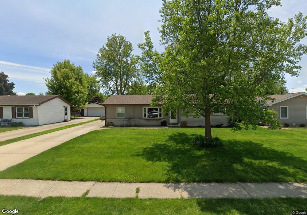
47 Duncan Dr Bourbonnais, IL 60914
Estimated Value: $197,000 - $230,000
4
Beds
2
Baths
1,242
Sq Ft
$172/Sq Ft
Est. Value
About This Home
This home is located at 47 Duncan Dr, Bourbonnais, IL 60914 and is currently estimated at $213,395, approximately $171 per square foot. 47 Duncan Dr is a home located in Kankakee County with nearby schools including Noel Levasseur Elementary School, Liberty Intermediate School, and Bourbonnais Upper Grade Center.
Ownership History
Date
Name
Owned For
Owner Type
Purchase Details
Closed on
Jul 29, 2011
Sold by
Wagner Cathy L
Bought by
Zinanni David C and Zinanni Kelly S
Current Estimated Value
Home Financials for this Owner
Home Financials are based on the most recent Mortgage that was taken out on this home.
Original Mortgage
$112,500
Outstanding Balance
$9,326
Interest Rate
4.62%
Mortgage Type
New Conventional
Estimated Equity
$204,069
Create a Home Valuation Report for This Property
The Home Valuation Report is an in-depth analysis detailing your home's value as well as a comparison with similar homes in the area
Home Values in the Area
Average Home Value in this Area
Purchase History
| Date | Buyer | Sale Price | Title Company |
|---|---|---|---|
| Zinanni David C | $125,000 | Indecomm Global Svcs |
Source: Public Records
Mortgage History
| Date | Status | Borrower | Loan Amount |
|---|---|---|---|
| Open | Zinanni David C | $112,500 |
Source: Public Records
Tax History Compared to Growth
Tax History
| Year | Tax Paid | Tax Assessment Tax Assessment Total Assessment is a certain percentage of the fair market value that is determined by local assessors to be the total taxable value of land and additions on the property. | Land | Improvement |
|---|---|---|---|---|
| 2024 | $4,288 | $57,780 | $6,562 | $51,218 |
| 2023 | $3,908 | $53,500 | $6,076 | $47,424 |
| 2022 | $3,684 | $48,979 | $5,856 | $43,123 |
| 2021 | $3,508 | $46,673 | $5,727 | $40,946 |
| 2020 | $3,468 | $45,424 | $5,574 | $39,850 |
| 2019 | $3,254 | $42,601 | $5,412 | $37,189 |
| 2018 | $2,796 | $37,361 | $4,266 | $33,095 |
| 2017 | $2,733 | $36,450 | $4,162 | $32,288 |
| 2016 | $2,651 | $35,596 | $4,100 | $31,496 |
| 2015 | $2,653 | $35,243 | $4,059 | $31,184 |
| 2014 | $2,548 | $35,243 | $4,059 | $31,184 |
| 2013 | -- | $35,825 | $4,059 | $31,766 |
Source: Public Records
Map
Nearby Homes
- 52 Hanson Dr
- 1230 Eagle Bluff Dr
- 22 Emery Dr
- 118 Meadows Ct
- 197 Kristina Dr
- 1515 Eagle Bluff Dr
- 675 Kathy Dr
- 172 Anita Dr
- 1582 Mid Court Dr
- 330 Centerpoint Dr S
- 360 Centerpoint Dr S
- 725 Independence Dr
- 717 Independence Dr
- 635 Independence Dr
- 273 Harvard Ave
- 1533 Stefanie Ln
- 1293 Hartley Ave
- 444 Highpoint Cir N
- 261 Mohawk Dr
- Lot 5/5A Almar Pkwy