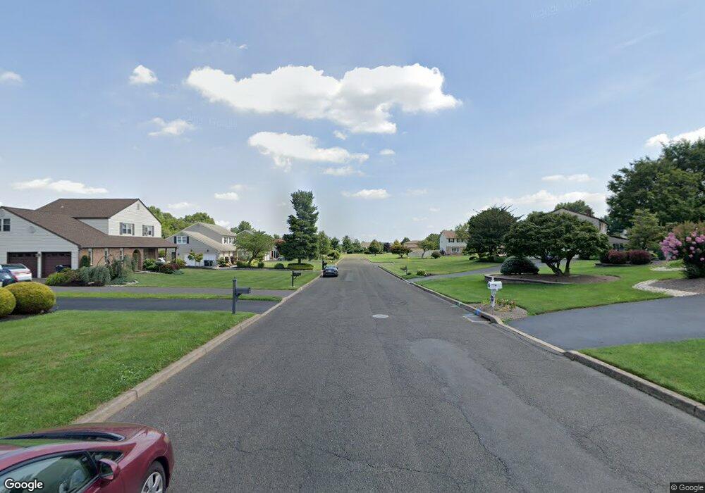
47 Hampton Dr Southampton, PA 18966
Estimated Value: $808,352 - $924,000
4
Beds
3
Baths
3,150
Sq Ft
$277/Sq Ft
Est. Value
About This Home
This home is located at 47 Hampton Dr, Southampton, PA 18966 and is currently estimated at $871,838, approximately $276 per square foot. 47 Hampton Dr is a home located in Bucks County with nearby schools including Maureen M. Welch Elementary School, Richboro Middle School, and Council Rock High School - South.
Ownership History
Date
Name
Owned For
Owner Type
Purchase Details
Closed on
May 24, 2000
Sold by
Collins Mark A
Bought by
Penn Frances M and Penn Barbara
Current Estimated Value
Home Financials for this Owner
Home Financials are based on the most recent Mortgage that was taken out on this home.
Original Mortgage
$65,000
Outstanding Balance
$22,423
Interest Rate
8.12%
Estimated Equity
$849,415
Purchase Details
Closed on
Jul 5, 1990
Bought by
Collins Mark A and Collins Deborah J
Create a Home Valuation Report for This Property
The Home Valuation Report is an in-depth analysis detailing your home's value as well as a comparison with similar homes in the area
Home Values in the Area
Average Home Value in this Area
Purchase History
| Date | Buyer | Sale Price | Title Company |
|---|---|---|---|
| Penn Frances M | $264,000 | -- | |
| Collins Mark A | $215,500 | -- |
Source: Public Records
Mortgage History
| Date | Status | Borrower | Loan Amount |
|---|---|---|---|
| Open | Penn Frances M | $65,000 |
Source: Public Records
Tax History Compared to Growth
Tax History
| Year | Tax Paid | Tax Assessment Tax Assessment Total Assessment is a certain percentage of the fair market value that is determined by local assessors to be the total taxable value of land and additions on the property. | Land | Improvement |
|---|---|---|---|---|
| 2025 | $8,956 | $46,500 | $9,480 | $37,020 |
| 2024 | $8,956 | $46,500 | $9,480 | $37,020 |
| 2023 | $8,441 | $46,500 | $9,480 | $37,020 |
| 2022 | $8,364 | $46,500 | $9,480 | $37,020 |
| 2021 | $8,099 | $46,500 | $9,480 | $37,020 |
| 2020 | $7,917 | $46,500 | $9,480 | $37,020 |
| 2019 | $7,578 | $46,500 | $9,480 | $37,020 |
| 2018 | $7,443 | $46,500 | $9,480 | $37,020 |
| 2017 | $7,156 | $46,500 | $9,480 | $37,020 |
| 2016 | $7,156 | $46,500 | $9,480 | $37,020 |
| 2015 | -- | $46,500 | $9,480 | $37,020 |
| 2014 | -- | $46,500 | $9,480 | $37,020 |
Source: Public Records
Map
Nearby Homes
- 290 Hatboro Rd
- 3 Shady Pines Dr
- 23 Oxford Dr
- 105 Edwards Dr
- 223 Cecelia Acres Dr
- 56 Joshua Dr
- 55 Mount Pleasant Dr
- 636 Almshouse Rd
- 29 Devon Rd
- 34 Acorn Dr
- 61 Legacy Oaks Dr Unit 62
- 371 N 2nd Street Pike
- 64 Legacy Oaks Dr Unit 81
- 54 Legacy Oaks Dr Unit 94
- 18 Lacey Ln
- 448 W Bristol Rd
- 8 Lacey Ln
- 47 Creek Rd
- 59 Parry Way
- 21 Spring Mill Dr Unit 12