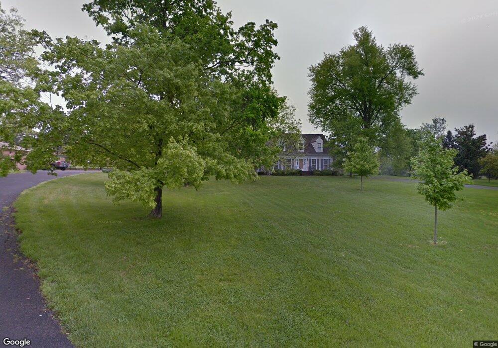
471 Wickliffe Rd Harrodsburg, KY 40330
Estimated Value: $322,257 - $445,000
3
Beds
3
Baths
2,638
Sq Ft
$138/Sq Ft
Est. Value
About This Home
This home is located at 471 Wickliffe Rd, Harrodsburg, KY 40330 and is currently estimated at $365,064, approximately $138 per square foot. 471 Wickliffe Rd is a home located in Mercer County with nearby schools including Mercer County Elementary School, Mercer County Intermediate School, and King Middle School.
Ownership History
Date
Name
Owned For
Owner Type
Purchase Details
Closed on
Apr 26, 2019
Sold by
Royalty James P and Royalty Pauline C
Bought by
Parsons Celia C
Current Estimated Value
Purchase Details
Closed on
Sep 6, 2006
Sold by
Batterton Keith and Batterton Carolyn
Bought by
Royalty James P and Royalty Pauline C
Home Financials for this Owner
Home Financials are based on the most recent Mortgage that was taken out on this home.
Original Mortgage
$150,000
Interest Rate
6.52%
Create a Home Valuation Report for This Property
The Home Valuation Report is an in-depth analysis detailing your home's value as well as a comparison with similar homes in the area
Home Values in the Area
Average Home Value in this Area
Purchase History
| Date | Buyer | Sale Price | Title Company |
|---|---|---|---|
| Parsons Celia C | $238,000 | None Available | |
| Royalty James P | $192,000 | -- |
Source: Public Records
Mortgage History
| Date | Status | Borrower | Loan Amount |
|---|---|---|---|
| Previous Owner | Royalty James P | $150,000 |
Source: Public Records
Tax History Compared to Growth
Tax History
| Year | Tax Paid | Tax Assessment Tax Assessment Total Assessment is a certain percentage of the fair market value that is determined by local assessors to be the total taxable value of land and additions on the property. | Land | Improvement |
|---|---|---|---|---|
| 2024 | $3,010 | $269,952 | $10,000 | $259,952 |
| 2023 | $2,680 | $238,000 | $0 | $0 |
| 2022 | $2,645 | $238,000 | $0 | $0 |
| 2021 | $2,675 | $238,000 | $0 | $0 |
| 2020 | $2,675 | $211,444 | $10,000 | $201,444 |
| 2019 | $1,966 | $211,444 | $10,000 | $201,444 |
| 2018 | $1,938 | $211,444 | $0 | $0 |
| 2017 | $1,869 | $211,444 | $0 | $0 |
| 2016 | $1,840 | $211,444 | $0 | $0 |
| 2015 | $1,795 | $211,444 | $10,000 | $201,444 |
| 2014 | $1,795 | $211,444 | $10,000 | $201,444 |
| 2010 | -- | $211,444 | $10,000 | $201,444 |
Source: Public Records
Map
Nearby Homes
- 547 Legion Dr Unit 6
- 547 Legion Dr
- 547 Legion Dr Unit 5
- 547 Legion Dr Unit 4
- 547 Legion Dr Unit 7
- Lots 28-35 Beaumont Inn Dr
- 655 Beaumont Ave
- 630 Elizabeth Ct
- 404 Goddard St
- 441 Magoffin St
- 517 Beaumont Ave
- 340 Dixie Manor
- 471 Chestnut St
- 549 Poteet St
- 496 Atlee Dr
- 497 Atlee Dr
- 214 Sparrow Ln
- 435 Linden Ave
- 501 Ashley Dr
- 531 Fairway Dr
- 461 Wickliffe Rd
- 382 Vanarsdall Dr
- 390 Vanarsdall Dr
- 376 Vanarsdall Dr
- 814 Beaumont Ave
- 1082 Vanarsdall Dr
- 834 Beaumont Ave
- 395 Vanarsdall Dr
- 793 Allin Dr
- 790 Allin Dr
- 844 Beaumont Ave
- 399 Vanarsdall Dr
- 791 Allin Dr
- 854 Beaumont Ave
- 461 Cardinal Dr
- 451 Cardinal Dr
- 780 Allin Dr
- 471 Cardinal Dr
- 792 Beaumont Ave
- 441 Cardinal Dr