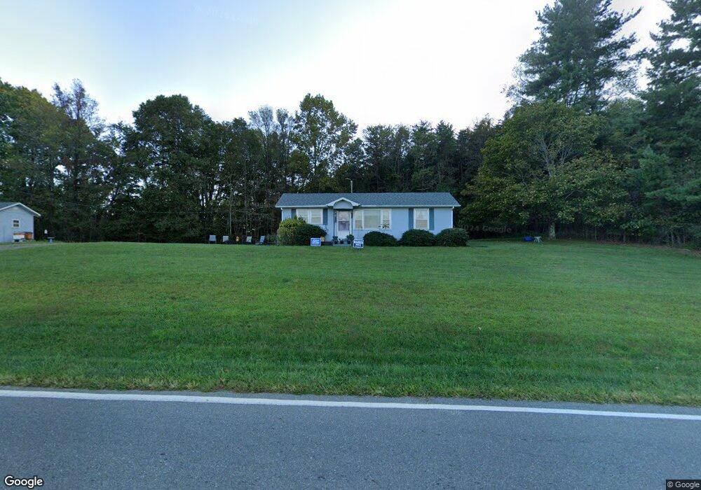
4710 Westfield Rd Mount Airy, NC 27030
Estimated Value: $83,000 - $167,000
2
Beds
1
Bath
913
Sq Ft
$147/Sq Ft
Est. Value
About This Home
This home is located at 4710 Westfield Rd, Mount Airy, NC 27030 and is currently estimated at $134,338, approximately $147 per square foot. 4710 Westfield Rd is a home located in Surry County with nearby schools including Westfield Elementary School, Pilot Mountain Middle School, and East Surry High School.
Ownership History
Date
Name
Owned For
Owner Type
Purchase Details
Closed on
Aug 25, 2021
Sold by
Rogers Marie Emma Est
Bought by
Mertson Shacana E
Current Estimated Value
Home Financials for this Owner
Home Financials are based on the most recent Mortgage that was taken out on this home.
Original Mortgage
$47,000
Outstanding Balance
$42,864
Interest Rate
3.1%
Mortgage Type
Adjustable Rate Mortgage/ARM
Estimated Equity
$91,474
Purchase Details
Closed on
Aug 1, 1953
Create a Home Valuation Report for This Property
The Home Valuation Report is an in-depth analysis detailing your home's value as well as a comparison with similar homes in the area
Home Values in the Area
Average Home Value in this Area
Purchase History
| Date | Buyer | Sale Price | Title Company |
|---|---|---|---|
| Mertson Shacana E | $45,000 | None Available | |
| -- | -- | -- |
Source: Public Records
Mortgage History
| Date | Status | Borrower | Loan Amount |
|---|---|---|---|
| Open | Mertson Shacana E | $47,000 |
Source: Public Records
Tax History Compared to Growth
Tax History
| Year | Tax Paid | Tax Assessment Tax Assessment Total Assessment is a certain percentage of the fair market value that is determined by local assessors to be the total taxable value of land and additions on the property. | Land | Improvement |
|---|---|---|---|---|
| 2025 | $389 | $56,690 | $13,650 | $43,040 |
| 2024 | $345 | $45,320 | $12,600 | $32,720 |
| 2023 | $340 | $45,320 | $12,600 | $32,720 |
| 2022 | $340 | $45,320 | $12,600 | $32,720 |
| 2021 | $183 | $45,000 | $12,600 | $32,400 |
| 2020 | $166 | $42,500 | $12,600 | $29,900 |
| 2019 | $163 | $42,500 | $0 | $0 |
| 2018 | $159 | $42,500 | $0 | $0 |
| 2017 | $155 | $42,500 | $0 | $0 |
| 2016 | $155 | $42,500 | $0 | $0 |
| 2013 | -- | $47,960 | $0 | $0 |
Source: Public Records
Map
Nearby Homes
- 140 Daniels Dell Ln
- 733 Slate Mountain Rd
- Lot 4,5,6 Sideview Ln
- 7.8ac Norman Rd
- 0 Norman Rd
- 583 Snody Rd
- 00 Blue Hollow Rd Unit 5
- 107 Cory Trail
- 731 Indian Grove Church Rd
- 0 Blue Hollow Rd Unit 33 1176021
- 0 Blue Hollow Rd Unit 23105199
- 000 Blue Hollow Rd Unit 27
- Lot 5 Howell Rd
- 00 Albion Church Rd
- 0 NE Pine St
- 200 Englewood Trail
- 759 Cameron Ln
- 1305 Brim Rd
- 339 Jessup Grove Church Rd
- 446 Gilley Rd
- 4657 Westfield Rd
- 4650 Westfield Rd
- 109 Panhandle Ln
- 4812 Westfield Rd
- 4818 Westfield Rd
- 150 Rosella Ln
- 4849 Westfield Rd
- 4581 Westfield Rd
- 485 Slate Mountain Rd
- 4869 Westfield Rd
- NONE Rosella Ln
- 2 Rosella Ln
- X Rosella Ln
- 173 Cain Rd
- 372 Slate Mountain Rd
- 4905 Westfield Rd
- 4913 Westfield Rd
- 238 Rosella Ln
- 4923 Westfield Rd
- 4474 Westfield Rd