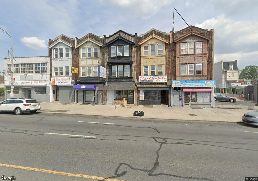
4713 N Broad St Philadelphia, PA 19141
Logan NeighborhoodEstimated Value: $351,137
--
Bed
--
Bath
2,520
Sq Ft
$139/Sq Ft
Est. Value
About This Home
This home is located at 4713 N Broad St, Philadelphia, PA 19141 and is currently estimated at $351,137, approximately $139 per square foot. 4713 N Broad St is a home located in Philadelphia County with nearby schools including Cooke Jay Middle School, Birney Preparatory Academy, and Mastery Schools Gratz (Prep) Middle.
Ownership History
Date
Name
Owned For
Owner Type
Purchase Details
Closed on
Jan 22, 2024
Sold by
Haldeman William C
Bought by
Choe Michael and Choe Ji Hyun
Current Estimated Value
Home Financials for this Owner
Home Financials are based on the most recent Mortgage that was taken out on this home.
Original Mortgage
$300,000
Outstanding Balance
$294,404
Interest Rate
6.61%
Mortgage Type
Seller Take Back
Estimated Equity
$56,733
Purchase Details
Closed on
Dec 29, 1970
Bought by
Betty Charles E and Betty Jane
Create a Home Valuation Report for This Property
The Home Valuation Report is an in-depth analysis detailing your home's value as well as a comparison with similar homes in the area
Home Values in the Area
Average Home Value in this Area
Purchase History
| Date | Buyer | Sale Price | Title Company |
|---|---|---|---|
| Choe Michael | $300,000 | Knights Abstract | |
| Betty Charles E | -- | -- |
Source: Public Records
Mortgage History
| Date | Status | Borrower | Loan Amount |
|---|---|---|---|
| Open | Choe Michael | $300,000 |
Source: Public Records
Tax History Compared to Growth
Tax History
| Year | Tax Paid | Tax Assessment Tax Assessment Total Assessment is a certain percentage of the fair market value that is determined by local assessors to be the total taxable value of land and additions on the property. | Land | Improvement |
|---|---|---|---|---|
| 2025 | $1,921 | $125,600 | $25,120 | $100,480 |
| 2024 | $1,921 | $125,600 | $25,120 | $100,480 |
| 2023 | $1,921 | $137,200 | $27,440 | $109,760 |
| 2022 | $1,921 | $137,200 | $27,440 | $109,760 |
| 2021 | $1,783 | $0 | $0 | $0 |
| 2020 | $1,783 | $0 | $0 | $0 |
| 2019 | $1,767 | $0 | $0 | $0 |
| 2018 | $0 | $0 | $0 | $0 |
| 2017 | $1,923 | $0 | $0 | $0 |
| 2016 | $1,841 | $0 | $0 | $0 |
| 2015 | $1,841 | $0 | $0 | $0 |
| 2014 | -- | $137,400 | $8,343 | $129,057 |
Source: Public Records
Map
Nearby Homes
- 4814 N Broad St
- 4819 Old York Rd
- 1223 W Wyoming Ave
- 1521 Belfield Ave
- 1218 W Wyoming Ave
- 1426 W Rockland St
- 4746 N 12th St
- 4542 N Broad St
- 1525 W Wyoming Ave
- 4605 N 13th St
- 4828 N Sydenham St
- 4526 Old York Rd
- 4611 N Camac St
- 4555 N 15th St
- 4935 Old York Rd
- 4642 N Marvine St
- 4525 Old York Rd
- 4919 N 13th St
- 4628 N Marvine St
- 4549 N Mole St
- 4713 N Broad St Unit BASEMENT
- 4714 Old York Rd
- 4716 Old York Rd
- 4718 Old York Rd
- 4700 Old York Rd
- 4729 N Broad St
- 4737 N Broad St
- 4737 N Broad St Unit GROUND
- 4711 Old York Rd
- 4736 Old York Rd
- 4713 Old York Rd
- 4709 Old York Rd
- 4715 Old York Rd
- 4707 Old York Rd
- 4717 Old York Rd
- 4705 Old York Rd
- 4719 Old York Rd
- 4738 Old York Rd
- 4703 Old York Rd
- 4701 Old York Rd