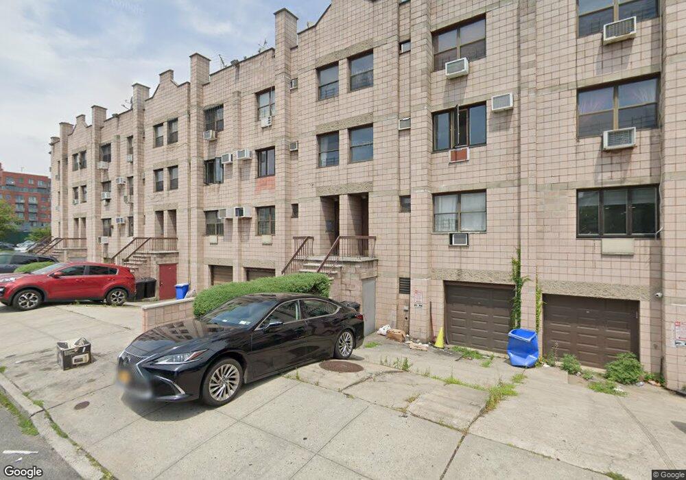
472 Malbone St Unit 4721 Brooklyn, NY 11225
Crown Heights NeighborhoodEstimated Value: $1,037,000 - $1,098,000
--
Bed
--
Bath
2,096
Sq Ft
$508/Sq Ft
Est. Value
About This Home
This home is located at 472 Malbone St Unit 4721, Brooklyn, NY 11225 and is currently estimated at $1,065,000, approximately $508 per square foot. 472 Malbone St Unit 4721 is a home located in Kings County with nearby schools including P.S. 161 - The Crown School, M.S. 61 Dr. Gladstone H. Atwell Middle School, and St Mark's Day School.
Ownership History
Date
Name
Owned For
Owner Type
Purchase Details
Closed on
Jun 22, 2016
Sold by
Bluming Chana
Bought by
Bluming Shmuel and Bluming Chana
Current Estimated Value
Home Financials for this Owner
Home Financials are based on the most recent Mortgage that was taken out on this home.
Original Mortgage
$460,000
Outstanding Balance
$366,942
Interest Rate
3.64%
Mortgage Type
New Conventional
Estimated Equity
$698,058
Create a Home Valuation Report for This Property
The Home Valuation Report is an in-depth analysis detailing your home's value as well as a comparison with similar homes in the area
Home Values in the Area
Average Home Value in this Area
Purchase History
| Date | Buyer | Sale Price | Title Company |
|---|---|---|---|
| Bluming Shmuel | -- | -- | |
| Bluming Shmuel | -- | -- |
Source: Public Records
Mortgage History
| Date | Status | Borrower | Loan Amount |
|---|---|---|---|
| Open | Bluming Shmuel | $460,000 | |
| Closed | Bluming Shmuel | $460,000 |
Source: Public Records
Tax History Compared to Growth
Tax History
| Year | Tax Paid | Tax Assessment Tax Assessment Total Assessment is a certain percentage of the fair market value that is determined by local assessors to be the total taxable value of land and additions on the property. | Land | Improvement |
|---|---|---|---|---|
| 2025 | $6,980 | $67,243 | $12,055 | $55,188 |
| 2024 | $6,980 | $60,783 | $12,055 | $48,728 |
| 2023 | $4,790 | $57,396 | $12,055 | $45,341 |
| 2022 | $4,607 | $55,082 | $12,055 | $43,027 |
| 2021 | $4,360 | $49,429 | $12,055 | $37,374 |
| 2020 | $3,270 | $56,492 | $12,055 | $44,437 |
| 2019 | $5,923 | $53,129 | $12,055 | $41,074 |
| 2018 | $4,446 | $47,705 | $12,054 | $35,651 |
| 2017 | $3,164 | $47,476 | $12,054 | $35,422 |
| 2016 | $2,028 | $46,801 | $12,054 | $34,747 |
| 2015 | $34 | $39,739 | $12,055 | $27,684 |
| 2014 | $34 | $36,338 | $12,055 | $24,283 |
Source: Public Records
Map
Nearby Homes
- 400 Lefferts Ave
- 332 Lefferts Ave
- 407 Lincoln Rd
- 287 Empire Blvd
- 345 Montgomery St Unit 6-B
- 345 Montgomery St Unit 4G
- 345 Montgomery St Unit 3P
- 345 Montgomery St Unit 6E
- 1074 Nostrand Ave
- 421 Crown St Unit 16R
- 464 E New York Ave
- 20 Lamont Ct
- 1143 Carroll St
- 337 Lincoln Rd Unit 2-L
- 340 Lincoln Rd
- 1105 Nostrand Ave
- 322 Lincoln Rd Unit 3 B
- 322 Lincoln Rd Unit 4-B
- 322 Lincoln Rd Unit Garden
- 322 Lincoln Rd Unit 4-A
- 472 Malbone St Unit 4723
- 472 Malbone St Unit 4722
- 472 Malbone St Unit 472S
- 472 Malbone St Unit 472G
- 474 Malbone St Unit 4743
- 474 Malbone St Unit 4742
- 474 Malbone St Unit 4741
- 474 Malbone St Unit 474S
- 474 Malbone St Unit 474G
- 468 Malbone St Unit 4683
- 468 Malbone St Unit 4682
- 468 Malbone St Unit 4681
- 468 Malbone St Unit 468S
- 468 Malbone St Unit 468G
- 476 Malbone St Unit 4763
- 476 Malbone St Unit 4762
- 476 Malbone St Unit 4761
- 476 Malbone St Unit 476S
- 476 Malbone St Unit 476G
- 470 Malbone St Unit 4703