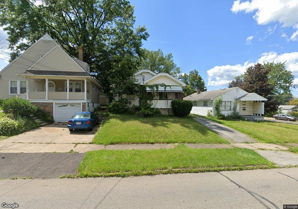
472 N Hazelwood Ave Youngstown, OH 44509
Belle Vista NeighborhoodEstimated Value: $53,000 - $95,000
2
Beds
1
Bath
788
Sq Ft
$91/Sq Ft
Est. Value
About This Home
This home is located at 472 N Hazelwood Ave, Youngstown, OH 44509 and is currently estimated at $72,057, approximately $91 per square foot. 472 N Hazelwood Ave is a home located in Mahoning County with nearby schools including Volney Rogers Elementary School, Chaney High School, and Summit Academy - Youngstown.
Ownership History
Date
Name
Owned For
Owner Type
Purchase Details
Closed on
Oct 17, 2022
Sold by
Hurtuk Michael J and Hurtuk Martha L
Bought by
Hurtuk Kevin M and Hurtuk Ryan T
Current Estimated Value
Purchase Details
Closed on
Dec 29, 2004
Sold by
The Bank Of New York
Bought by
Hurtuk Michael J and Hurtuk Martha L
Purchase Details
Closed on
Jun 18, 2004
Sold by
Britz Linda L and Britz Linda
Bought by
The Bank Of New York
Create a Home Valuation Report for This Property
The Home Valuation Report is an in-depth analysis detailing your home's value as well as a comparison with similar homes in the area
Home Values in the Area
Average Home Value in this Area
Purchase History
| Date | Buyer | Sale Price | Title Company |
|---|---|---|---|
| Hurtuk Kevin M | -- | -- | |
| Hurtuk Michael J | $25,700 | Sovereign Title Agency | |
| The Bank Of New York | $30,000 | Sovereign Title Agency Llc |
Source: Public Records
Tax History Compared to Growth
Tax History
| Year | Tax Paid | Tax Assessment Tax Assessment Total Assessment is a certain percentage of the fair market value that is determined by local assessors to be the total taxable value of land and additions on the property. | Land | Improvement |
|---|---|---|---|---|
| 2024 | $627 | $12,800 | $1,040 | $11,760 |
| 2023 | $623 | $12,800 | $1,040 | $11,760 |
| 2022 | $574 | $9,080 | $1,030 | $8,050 |
| 2021 | $574 | $9,080 | $1,030 | $8,050 |
| 2020 | $577 | $9,080 | $1,030 | $8,050 |
| 2019 | $567 | $7,970 | $910 | $7,060 |
| 2018 | $572 | $7,970 | $910 | $7,060 |
| 2017 | $589 | $7,970 | $910 | $7,060 |
| 2016 | $608 | $9,160 | $1,390 | $7,770 |
| 2015 | $595 | $9,160 | $1,390 | $7,770 |
| 2014 | $576 | $9,160 | $1,390 | $7,770 |
| 2013 | $567 | $9,160 | $1,390 | $7,770 |
Source: Public Records
Map
Nearby Homes
- 425 Manchester Ave
- 446 N Schenley Ave
- 635 N Hazelwood Ave
- 175 N Hartford Ave
- 119 N Hartford Ave
- 107 N Hartford Ave
- 50 Manchester Ave
- 43 N Schenley Ave
- 2113 Manhattan Ave
- 141 Wesley Ave Unit 143
- 40 Manchester Ave
- 59 Rhoda Ave
- 2129 Tippecanoe Ave
- 26 N Glenellen Ave
- 28 N Hartford Ave
- 626 Leadville Ave
- 23 Manchester Ave
- 115 N Richview Ave
- 134 Millet Ave
- 1947 Manhattan Ave
- 466 N Hazelwood Ave
- 474 N Hazelwood Ave
- 462 N Hazelwood Ave
- 458 N Hazelwood Ave
- 463 W Heights Ave
- 459 W Heights Ave
- 602 N Hazelwood Ave
- 455 W Heights Ave
- 454 N Hazelwood Ave
- 606 N Hazelwood Ave
- 475 N Hazelwood Ave
- 481 N Hazelwood Ave
- 465 N Hazelwood Ave
- 451 W Heights Ave
- 450 N Hazelwood Ave
- 457 N Hazelwood Ave
- 2618 Burbank Ave
- 610 N Hazelwood Ave
- 447 W Heights Ave
- 453 N Hazelwood Ave