472 Poppasquash Rd Bristol, RI 02809
Bristol Highlands NeighborhoodEstimated Value: $2,309,000 - $5,218,339
4
Beds
4
Baths
4,275
Sq Ft
$911/Sq Ft
Est. Value
About This Home
This home is located at 472 Poppasquash Rd, Bristol, RI 02809 and is currently estimated at $3,895,446, approximately $911 per square foot. 472 Poppasquash Rd is a home located in Bristol County with nearby schools including Mt. Hope High School and Our Lady of Mt. Carmel School.
Ownership History
Date
Name
Owned For
Owner Type
Purchase Details
Closed on
Dec 27, 2024
Sold by
Shoback Jacqueline S
Bought by
Bernstein Ft and Bernstein
Current Estimated Value
Purchase Details
Closed on
Apr 7, 2010
Sold by
Sisson M Patricia
Bought by
Bernstein Andrew J and Shoback Jacqueline S
Create a Home Valuation Report for This Property
The Home Valuation Report is an in-depth analysis detailing your home's value as well as a comparison with similar homes in the area
Home Values in the Area
Average Home Value in this Area
Purchase History
| Date | Buyer | Sale Price | Title Company |
|---|---|---|---|
| Bernstein Ft | -- | None Available | |
| Bernstein Ft | -- | None Available | |
| Shoback Jacqueline S | -- | None Available | |
| Shoback Jacqueline S | -- | None Available | |
| Bernstein Andrew J | $1,800,000 | -- | |
| Bernstein Andrew J | $1,800,000 | -- |
Source: Public Records
Tax History Compared to Growth
Tax History
| Year | Tax Paid | Tax Assessment Tax Assessment Total Assessment is a certain percentage of the fair market value that is determined by local assessors to be the total taxable value of land and additions on the property. | Land | Improvement |
|---|---|---|---|---|
| 2025 | $41,161 | $2,978,400 | $1,588,700 | $1,389,700 |
| 2024 | $41,161 | $2,978,400 | $1,588,700 | $1,389,700 |
| 2023 | $39,473 | $2,954,600 | $1,588,700 | $1,365,900 |
| 2022 | $38,399 | $2,953,800 | $1,588,700 | $1,365,100 |
| 2021 | $39,981 | $2,780,300 | $1,635,400 | $1,144,900 |
| 2020 | $39,119 | $2,780,300 | $1,635,400 | $1,144,900 |
| 2019 | $42,768 | $3,117,200 | $1,957,200 | $1,160,000 |
| 2018 | $47,057 | $3,059,600 | $1,761,500 | $1,298,100 |
| 2017 | $38,237 | $2,562,800 | $1,768,900 | $793,900 |
| 2016 | $37,853 | $2,562,800 | $1,768,900 | $793,900 |
| 2015 | $34,658 | $2,470,300 | $1,768,900 | $701,400 |
| 2014 | $30,682 | $2,349,310 | $1,622,100 | $727,210 |
Source: Public Records
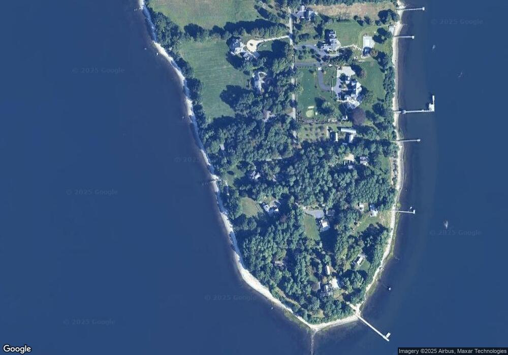
Map
Nearby Homes
- 48 Constitution St Unit 2
- 48 Constitution St Unit 1
- 18 State St Unit 5 (3rd Floor East)
- 341 Thames St Unit 109
- 60 Van Wickle Ln
- 21 Bradford St Unit 2
- 44 Bradford St Unit 48
- 44 Bradford St Unit 49
- 44 Bradford St Unit 52
- 291 High St
- 125 Homestead Ave
- 38 Collins St
- 50 Charles St
- 53 Catherine St
- 413 High St
- 107 Franklin St
- 17 Rock St
- 82 Charles St
- 2 Wilson St
- 2 Chilton St
- 476 Poppasquash Rd
- 470 Poppasquash Rd
- 468 Poppasquash Rd
- 477 Poppasquash Rd
- 484 Poppasquash Rd
- 467 Poppasquash Rd
- 466 Poppasquash Rd
- 473 Poppasquash Rd
- 454 Poppasquash Rd
- 479 Poppasquash Rd
- 483 Poppasquash Rd
- 461 Poppasquash Rd
- 485 Poppasquash Rd
- 458 Poppasquash Rd
- 459 Poppasquash Rd
- 450 Poppasquash Rd
- 456 Poppasquash Rd
- 456 Poppasquash Rd
- 456 Poppasquash Rd
- 445 Poppasquash Rd