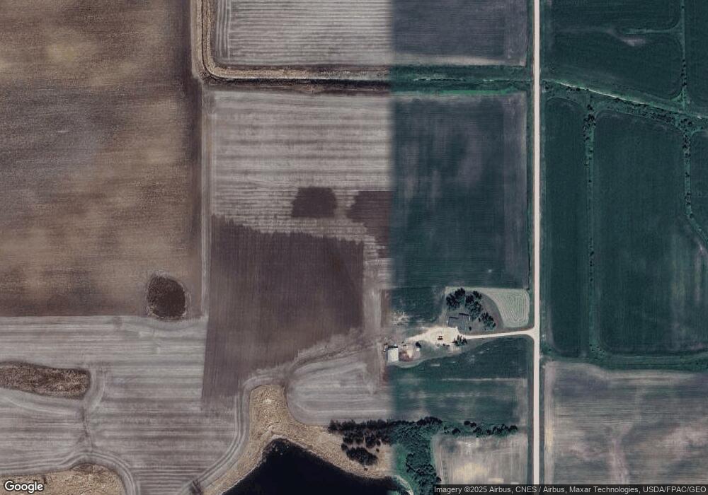
47274 191st Ave Waterville, MN 56096
Estimated Value: $417,000 - $457,492
2
Beds
1
Bath
1,659
Sq Ft
$264/Sq Ft
Est. Value
About This Home
This home is located at 47274 191st Ave, Waterville, MN 56096 and is currently estimated at $438,373, approximately $264 per square foot. 47274 191st Ave is a home with nearby schools including Waterville Elementary School, Morristown Elementary School, and Waterville-Elysian-Morristown Junior High School.
Ownership History
Date
Name
Owned For
Owner Type
Purchase Details
Closed on
Sep 24, 2019
Sold by
James Wayne O and James Theresa A
Bought by
James Justin
Current Estimated Value
Home Financials for this Owner
Home Financials are based on the most recent Mortgage that was taken out on this home.
Original Mortgage
$230,000
Outstanding Balance
$201,046
Interest Rate
3.5%
Mortgage Type
New Conventional
Estimated Equity
$237,327
Create a Home Valuation Report for This Property
The Home Valuation Report is an in-depth analysis detailing your home's value as well as a comparison with similar homes in the area
Home Values in the Area
Average Home Value in this Area
Purchase History
| Date | Buyer | Sale Price | Title Company |
|---|---|---|---|
| James Justin | $250,000 | Premier Title |
Source: Public Records
Mortgage History
| Date | Status | Borrower | Loan Amount |
|---|---|---|---|
| Open | James Justin | $230,000 |
Source: Public Records
Tax History Compared to Growth
Tax History
| Year | Tax Paid | Tax Assessment Tax Assessment Total Assessment is a certain percentage of the fair market value that is determined by local assessors to be the total taxable value of land and additions on the property. | Land | Improvement |
|---|---|---|---|---|
| 2025 | $3,446 | $399,300 | $135,000 | $264,300 |
| 2024 | $3,218 | $394,300 | $135,000 | $259,300 |
| 2023 | $2,898 | $383,400 | $130,000 | $253,400 |
| 2022 | $2,624 | $331,600 | $120,000 | $211,600 |
| 2021 | $2,712 | $261,900 | $97,500 | $164,400 |
| 2020 | $2,612 | $261,900 | $97,500 | $164,400 |
| 2019 | $3,654 | $237,100 | $89,489 | $147,611 |
| 2018 | $3,639 | $555,700 | $405,800 | $149,900 |
| 2017 | $2,155 | $444,400 | $397,800 | $46,600 |
| 2016 | $1,188 | $366,600 | $350,600 | $16,000 |
| 2015 | $1,188 | $366,600 | $350,600 | $16,000 |
| 2014 | $1,124 | $366,600 | $350,600 | $16,000 |
| 2013 | $1,068 | $356,400 | $340,400 | $16,000 |
Source: Public Records
Map
Nearby Homes
- 49189 Sportsmans Ln
- TBD T-165
- 49279 Sportsmans Ln
- 0 Tbd Xxx 490th St
- 48004 State Highway 13
- 47096 Maple Leaf Ln
- 5 Marie Cir
- 4 Marie Cir
- 135 Shoreview Dr
- 921 Lillian St
- 1 Roots Beach Ln
- 902 Marion St
- 19935 Dodd Rd
- 730 1st St N
- 705 1st St N
- 617 1st St N
- 105 1st St S
- 0 Tbd 490th St
- 215 Lake St W
- xx Lewis Ln
- 47402 191st Ave
- 47479 191st Ave
- 47639 191st Ave
- 19063 Woodland Rd
- 19195 476th St
- 19487 476th St
- 47594 Woodland Rd
- 123781 Woodland Rd
- 19727 476th St
- 47311 201st Ave
- 18744 466th St
- 19338 Tetonka Lake Rd
- 46915 201st Ave
- 46969 201st Ave
- 47370 201st Ave
- xxxx 201st Avenue Trail
- 48216 189th Ave
- 47126 201st Ave
