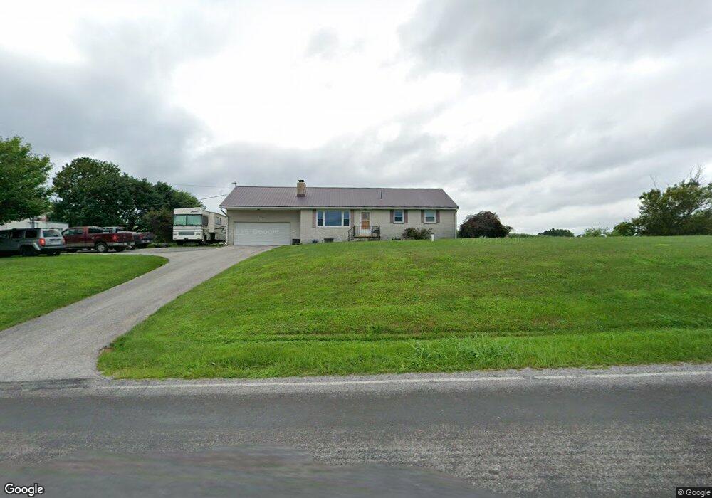
474 Bridgeton Rd Fawn Grove, PA 17321
Estimated Value: $309,885 - $388,000
3
Beds
2
Baths
1,290
Sq Ft
$265/Sq Ft
Est. Value
About This Home
This home is located at 474 Bridgeton Rd, Fawn Grove, PA 17321 and is currently estimated at $341,971, approximately $265 per square foot. 474 Bridgeton Rd is a home located in York County with nearby schools including South Eastern Intermediate School, South Eastern Middle School, and Kennard-Dale High School.
Ownership History
Date
Name
Owned For
Owner Type
Purchase Details
Closed on
Nov 21, 2012
Sold by
Strayer Jenny K and Posey William E
Bought by
Posey Matthew E and Posey Michelle D
Current Estimated Value
Home Financials for this Owner
Home Financials are based on the most recent Mortgage that was taken out on this home.
Original Mortgage
$68,000
Interest Rate
3.4%
Mortgage Type
New Conventional
Purchase Details
Closed on
Nov 1, 1950
Bought by
Posey L Eugene
Create a Home Valuation Report for This Property
The Home Valuation Report is an in-depth analysis detailing your home's value as well as a comparison with similar homes in the area
Home Values in the Area
Average Home Value in this Area
Purchase History
| Date | Buyer | Sale Price | Title Company |
|---|---|---|---|
| Posey Matthew E | $85,000 | None Available | |
| Posey L Eugene | $4,000 | -- |
Source: Public Records
Mortgage History
| Date | Status | Borrower | Loan Amount |
|---|---|---|---|
| Previous Owner | Posey Matthew E | $68,000 |
Source: Public Records
Tax History Compared to Growth
Tax History
| Year | Tax Paid | Tax Assessment Tax Assessment Total Assessment is a certain percentage of the fair market value that is determined by local assessors to be the total taxable value of land and additions on the property. | Land | Improvement |
|---|---|---|---|---|
| 2025 | $4,628 | $154,780 | $52,650 | $102,130 |
| 2024 | $4,628 | $154,780 | $52,650 | $102,130 |
| 2023 | $4,628 | $154,780 | $52,650 | $102,130 |
| 2022 | $4,628 | $154,780 | $52,650 | $102,130 |
| 2021 | $4,473 | $154,780 | $52,650 | $102,130 |
| 2020 | $4,473 | $154,780 | $52,650 | $102,130 |
| 2019 | $4,458 | $154,780 | $52,650 | $102,130 |
| 2018 | $4,458 | $154,780 | $52,650 | $102,130 |
| 2017 | $4,458 | $154,780 | $52,650 | $102,130 |
| 2016 | $0 | $154,780 | $52,650 | $102,130 |
| 2015 | -- | $154,780 | $52,650 | $102,130 |
| 2014 | -- | $154,780 | $52,650 | $102,130 |
Source: Public Records
Map
Nearby Homes
- 387 Garvine Mill Rd
- Lot 4 Ridge Rd
- 370 High Rock Rd
- 1081 Bridgeton Rd
- 8290 Woodbine Rd
- 0 Dogwood Rd
- 31 N Market St
- 53 Dogwood Rd
- Parcel 859 Neill Run Rd
- 46 Corn Tassel Rd
- 63 Cherry Rd
- 76 Laurel Dr
- 194 Cook Rd
- 267 Cook Rd
- 0 Highview Dr
- 45 Wenzel Rd
- 216 Meadow Trail
- 1701 Scott Rd
- 9377 Hickory Rd
- 556 Bair Rd
- 444 Bridgeton Rd
- 542 Bridgeton Rd
- 532 Bridgeton Rd
- 378 Bridgeton Rd
- 590 Bridgeton Rd
- 724 Bridgeton Rd
- Lot #4 Tyson Rd
- 614 Bridgeton Rd
- 000 Throne Rd
- 6 Throne Rd Unit 6
- 36 Throne Rd Unit 36
- 310 Bridgeton Rd
- 126 Tyson Rd
- 26 Throne Rd
- 94 Throne Rd
- 97 Throne Rd
- 97 Throne Rd Unit 97
- 741 Bridgeton Rd
- 775 Bridgeton Rd
- 763 Bridgeton Rd