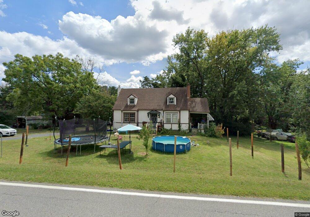
474 Dixie Airport Rd Madison Heights, VA 24572
Estimated Value: $187,000 - $218,000
4
Beds
1
Bath
1,346
Sq Ft
$152/Sq Ft
Est. Value
About This Home
This home is located at 474 Dixie Airport Rd, Madison Heights, VA 24572 and is currently estimated at $204,884, approximately $152 per square foot. 474 Dixie Airport Rd is a home located in Amherst County with nearby schools including Amelon Elementary School, Monelison Middle School, and Amherst County High School.
Ownership History
Date
Name
Owned For
Owner Type
Purchase Details
Closed on
Jul 2, 2009
Sold by
Hsbc Bank Usa
Bought by
Miller Anthony C
Current Estimated Value
Home Financials for this Owner
Home Financials are based on the most recent Mortgage that was taken out on this home.
Original Mortgage
$96,938
Interest Rate
5.25%
Mortgage Type
New Conventional
Create a Home Valuation Report for This Property
The Home Valuation Report is an in-depth analysis detailing your home's value as well as a comparison with similar homes in the area
Home Values in the Area
Average Home Value in this Area
Purchase History
| Date | Buyer | Sale Price | Title Company |
|---|---|---|---|
| Miller Anthony C | $102,300 | None Available |
Source: Public Records
Mortgage History
| Date | Status | Borrower | Loan Amount |
|---|---|---|---|
| Previous Owner | Miller Anthony C | $96,938 |
Source: Public Records
Tax History Compared to Growth
Tax History
| Year | Tax Paid | Tax Assessment Tax Assessment Total Assessment is a certain percentage of the fair market value that is determined by local assessors to be the total taxable value of land and additions on the property. | Land | Improvement |
|---|---|---|---|---|
| 2025 | $530 | $86,900 | $25,000 | $61,900 |
| 2024 | $530 | $86,900 | $25,000 | $61,900 |
| 2023 | $530 | $86,900 | $25,000 | $61,900 |
| 2022 | $530 | $86,900 | $25,000 | $61,900 |
| 2021 | $530 | $86,900 | $25,000 | $61,900 |
| 2020 | $530 | $86,900 | $25,000 | $61,900 |
| 2019 | $664 | $108,800 | $31,000 | $77,800 |
| 2018 | $664 | $108,800 | $31,000 | $77,800 |
| 2017 | $664 | $108,800 | $31,000 | $77,800 |
| 2016 | $664 | $108,800 | $31,000 | $77,800 |
| 2015 | $609 | $108,800 | $31,000 | $77,800 |
| 2014 | $609 | $108,800 | $31,000 | $77,800 |
Source: Public Records
Map
Nearby Homes
- 571 Dixie Airport Rd
- 327 Dixie Airport Rd
- 150 Glenwood Dr
- 121 Crestwood Dr
- 272 Dixie Airport Rd
- 505 Royal Gardens Ct
- 250 S Wood Duck Dr
- 51 Patrick Ct
- 4123 S Amherst Hwy
- 151 Stratford Place
- TBD Stratford Place Unit 39
- 289 Todd Ln
- 193 Daniels Dr
- 0 Commonwealth Dr Unit 361760
- 115 Morgan Rd
- 0 Lot 10 & 11 Stoney Creek Dr Unit 345183
- 379 Winesap Rd
- 1358 S Coolwell Rd
- 164 Glade Rd
- 0 Monticello Ln
- 462 Dixie Airport Rd
- 478 Dixie Airport Rd
- 488 Dixie Airport Rd
- 487 Dixie Airport Rd
- 445 Dixie Airport Rd
- 498 Dixie Airport Rd
- 501 Dixie Airport Rd
- 516 Dixie Airport Rd
- 443 Dixie Airport Rd
- 507 Dixie Airport Rd
- 526 Dixie Airport Rd
- 434 Dixie Airport Rd
- 416 Dixie Airport Rd
- 534 Dixie Airport Rd
- 177 Big Cedar Ln
- 529 Dixie Airport Rd
- 154 Big Cedar Ln
- 542 Dixie Airport Rd
- 550 Dixie Airport Rd
- 401 Dixie Airport Rd