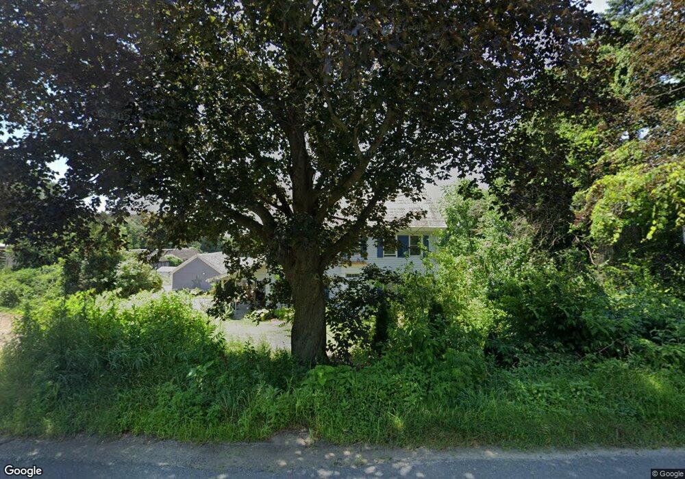
475 Amherst Rd Sunderland, MA 01375
Estimated Value: $515,000 - $683,398
--
Bed
2
Baths
--
Sq Ft
50.81
Acres
About This Home
This home is located at 475 Amherst Rd, Sunderland, MA 01375 and is currently estimated at $602,850. 475 Amherst Rd is a home located in Franklin County with nearby schools including Sunderland Elementary School and Frontier Regional School.
Ownership History
Date
Name
Owned For
Owner Type
Purchase Details
Closed on
Dec 11, 2024
Sold by
Laurenitis Karina
Bought by
Laurenitis Robert F
Current Estimated Value
Purchase Details
Closed on
Jul 24, 2024
Sold by
Laurenitis Robert F and Laurenitis Frederick A
Bought by
Laurenitis Karina
Purchase Details
Closed on
Jul 27, 2023
Sold by
Laurenitis Robert F and Laurenitis Loretta
Bought by
Laurenitis Robert F
Purchase Details
Closed on
Feb 25, 2019
Sold by
Laurenitis Arlene A
Bought by
Laurenitis Robert F and Laurenitis Loretta
Purchase Details
Closed on
Oct 17, 2016
Sold by
Laurenitis Robert F Es and Laurenitis L
Bought by
Laurenitis Robert F and Laurenitis Loretta
Create a Home Valuation Report for This Property
The Home Valuation Report is an in-depth analysis detailing your home's value as well as a comparison with similar homes in the area
Home Values in the Area
Average Home Value in this Area
Purchase History
| Date | Buyer | Sale Price | Title Company |
|---|---|---|---|
| Laurenitis Robert F | -- | None Available | |
| Laurenitis Robert F | -- | None Available | |
| Laurenitis Robert F | -- | None Available | |
| Laurenitis Karina | -- | None Available | |
| Laurenitis Karina | -- | None Available | |
| Laurenitis Karina | -- | None Available | |
| Laurenitis Robert F | -- | None Available | |
| Laurenitis Robert F | -- | None Available | |
| Laurenitis Robert F | -- | -- | |
| Laurenitis Robert F | -- | -- | |
| Laurenitis Robert F | -- | -- | |
| Laurenitis Robert F | -- | -- | |
| Laurenitis Robert F | -- | -- | |
| Laurenitis Robert F | -- | -- |
Source: Public Records
Tax History Compared to Growth
Tax History
| Year | Tax Paid | Tax Assessment Tax Assessment Total Assessment is a certain percentage of the fair market value that is determined by local assessors to be the total taxable value of land and additions on the property. | Land | Improvement |
|---|---|---|---|---|
| 2025 | $6,239 | $479,221 | $156,821 | $322,400 |
| 2024 | $6,249 | $475,600 | $153,200 | $322,400 |
| 2023 | $5,746 | $448,944 | $140,144 | $308,800 |
| 2022 | $5,894 | $400,986 | $122,886 | $278,100 |
| 2021 | $5,861 | $378,341 | $119,341 | $259,000 |
| 2020 | $5,842 | $378,341 | $119,341 | $259,000 |
| 2019 | $5,737 | $374,231 | $120,531 | $253,700 |
| 2018 | $5,442 | $362,780 | $114,280 | $248,500 |
| 2017 | $5,298 | $369,467 | $119,267 | $250,200 |
| 2016 | $5,510 | $375,849 | $108,449 | $267,400 |
| 2015 | $5,378 | $375,849 | $108,449 | $267,400 |
| 2014 | $5,254 | $375,849 | $108,449 | $267,400 |
Source: Public Records
Map
Nearby Homes
- 15 S Plain Rd
- 146 Old Amherst Rd
- 110 Old Amherst Rd
- 73 Depot Rd
- 113 Juggler Meadow Rd
- 238 N Main St
- 259 Long Plain Rd
- Lot 3A-3 Leverett Rd
- 3 Depot Rd
- 7 Roosevelt St
- 958 E Pleasant St
- 55 Putney Rd
- 0 Henry St
- 39 Valley Ln
- Lot C Mountain Rd
- Lot A Mountain Rd
- Lot B Mountain Rd
- 13 Harlow Dr
- 110 Grantwood Dr
- 15 Crestview Dr