Estimated Value: $143,000 - $332,228
--
Bed
--
Bath
2,016
Sq Ft
$136/Sq Ft
Est. Value
About This Home
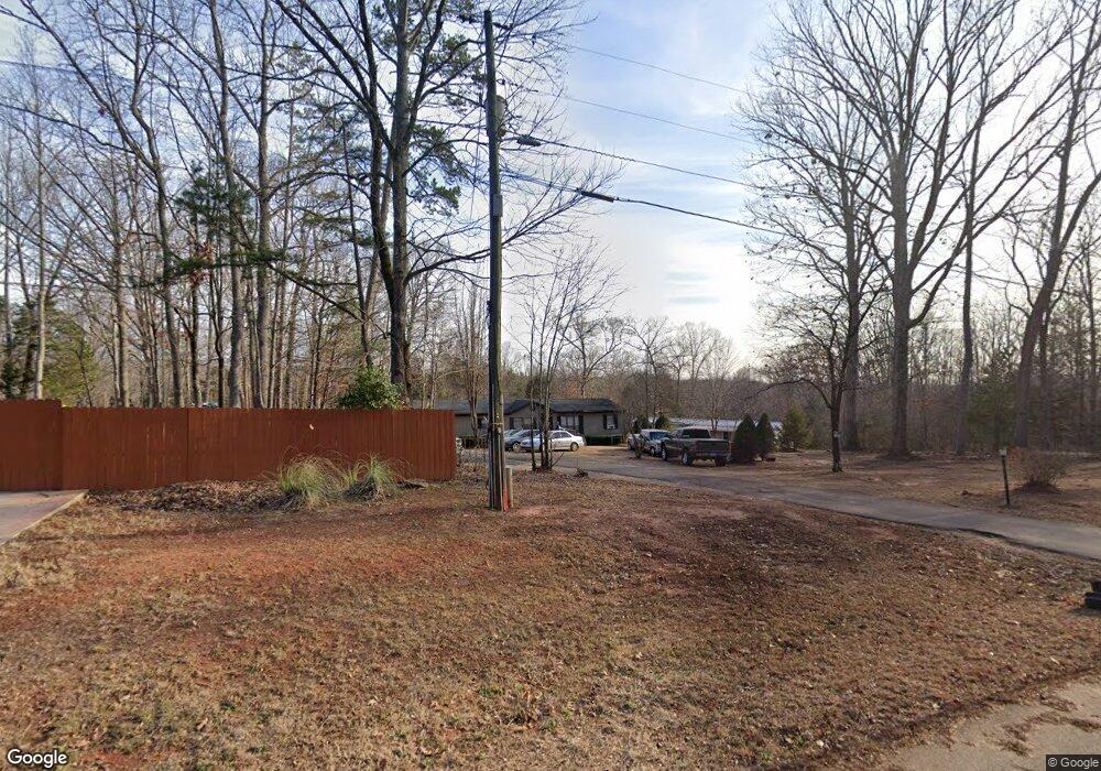
This home is located at 477 Brushwood Dr, York, SC 29745 and is currently estimated at $273,807, approximately $135 per square foot. 477 Brushwood Dr is a home located in York County with nearby schools including Jefferson Elementary School, York Intermediate School, and York Middle School.
Ownership History
Date
Name
Owned For
Owner Type
Purchase Details
Closed on
Oct 11, 2022
Sold by
Sims Sherry
Bought by
Howze Kenneth D
Current Estimated Value
Home Financials for this Owner
Home Financials are based on the most recent Mortgage that was taken out on this home.
Original Mortgage
$40,000
Outstanding Balance
$38,451
Interest Rate
5.89%
Mortgage Type
Seller Take Back
Estimated Equity
$235,356
Purchase Details
Closed on
Jan 29, 2008
Sold by
Sims Eric
Bought by
Sims Sherry
Purchase Details
Closed on
Feb 26, 2002
Sold by
Bank Of New York
Bought by
Sims Eric
Purchase Details
Closed on
Feb 28, 2001
Sold by
Summerlin Harvey R and Summerlin Diane
Bought by
The Bank Of New York
Create a Home Valuation Report for This Property
The Home Valuation Report is an in-depth analysis detailing your home's value as well as a comparison with similar homes in the area
Home Values in the Area
Average Home Value in this Area
Purchase History
| Date | Buyer | Sale Price | Title Company |
|---|---|---|---|
| Howze Kenneth D | $40,000 | -- | |
| Sims Sherry | -- | None Available | |
| Sims Eric | $38,850 | -- | |
| The Bank Of New York | $2,500 | -- |
Source: Public Records
Mortgage History
| Date | Status | Borrower | Loan Amount |
|---|---|---|---|
| Open | Howze Kenneth D | $40,000 |
Source: Public Records
Tax History Compared to Growth
Tax History
| Year | Tax Paid | Tax Assessment Tax Assessment Total Assessment is a certain percentage of the fair market value that is determined by local assessors to be the total taxable value of land and additions on the property. | Land | Improvement |
|---|---|---|---|---|
| 2024 | $365 | $2,182 | $1,120 | $1,062 |
| 2023 | $1,387 | $3,273 | $1,680 | $1,593 |
| 2022 | $31 | $2,182 | $1,120 | $1,062 |
| 2021 | -- | $2,182 | $1,120 | $1,062 |
| 2020 | $31 | $2,182 | $0 | $0 |
| 2019 | $0 | $1,900 | $0 | $0 |
| 2018 | $0 | $1,900 | $0 | $0 |
| 2017 | -- | $1,900 | $0 | $0 |
| 2016 | -- | $1,900 | $0 | $0 |
| 2014 | $303 | $1,900 | $720 | $1,180 |
| 2013 | $303 | $2,020 | $720 | $1,300 |
Source: Public Records
Map
Nearby Homes
- 1406 Old Puckett Place Unit 14
- 2209 Cedar Rd
- 249 Brown Neal Rd
- 2099 Cedar Rd
- 1482 Kate Cecil Way
- Savoy II Plan at Bellamore
- 351 Hendley Dr
- Draper II Plan at Bellamore
- 1461 Kate Cecil Way
- 323 Hendley Dr
- 1508 Kate Cecil Way
- Bexley II Plan at Bellamore
- 1457 Kate Cecil Way
- Radford Plan at Bellamore
- Vernon Plan at Bellamore
- 1502 Kate Cecil Way
- 1514 Kate Cecil Way
- 379 Hendley Dr
- 1522 Kate Cecil Way
- 1494 Kate Cecil Way
- 465 Brushwood Dr
- 1940 Larchwood Rd
- 496 Brushwood Dr
- 460 Brushwood Dr
- 460 Brushwood Dr Unit 2
- 460 Brushwood Drive #2
- 535 Brushwood Dr
- 440 Brushwood Dr
- 1837 Larchwood Dr
- 445 Brushwood Dr
- 429 Brushwood Dr
- 432 Brushwood Dr
- 1831 Larchwood Dr
- 2234 Dodge Rd
- 1825 Larchwood Dr
- 420 Brushwood Dr
- 512 Brushwood Dr
- 409 Brushwood Dr
- 2246 Dodge Rd