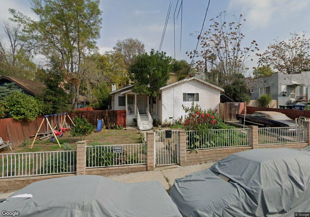
4771 Toland Way Los Angeles, CA 90042
Estimated Value: $857,000 - $1,254,000
3
Beds
1
Bath
1,320
Sq Ft
$827/Sq Ft
Est. Value
About This Home
This home is located at 4771 Toland Way, Los Angeles, CA 90042 and is currently estimated at $1,092,287, approximately $827 per square foot. 4771 Toland Way is a home located in Los Angeles County with nearby schools including Toland Way Elementary School, Benjamin Franklin High School, and Eagle Rock High School.
Ownership History
Date
Name
Owned For
Owner Type
Purchase Details
Closed on
May 7, 2003
Sold by
Reveles Rodolfo
Bought by
Reveles Arnulfo S
Current Estimated Value
Purchase Details
Closed on
Apr 7, 1994
Sold by
Federal Home Loan Mortgage Corporation
Bought by
Reveles Arnulfo and Reveles Rodolfo
Home Financials for this Owner
Home Financials are based on the most recent Mortgage that was taken out on this home.
Original Mortgage
$104,000
Interest Rate
8.52%
Purchase Details
Closed on
Dec 27, 1993
Sold by
T D Service Company
Bought by
Federal Home Loan Mortgage Corporation
Create a Home Valuation Report for This Property
The Home Valuation Report is an in-depth analysis detailing your home's value as well as a comparison with similar homes in the area
Home Values in the Area
Average Home Value in this Area
Purchase History
| Date | Buyer | Sale Price | Title Company |
|---|---|---|---|
| Reveles Arnulfo S | -- | -- | |
| Reveles Arnulfo | $130,000 | -- | |
| Federal Home Loan Mortgage Corporation | $160,000 | North American Title Company |
Source: Public Records
Mortgage History
| Date | Status | Borrower | Loan Amount |
|---|---|---|---|
| Closed | Reveles Arnulfo | $104,000 |
Source: Public Records
Tax History Compared to Growth
Tax History
| Year | Tax Paid | Tax Assessment Tax Assessment Total Assessment is a certain percentage of the fair market value that is determined by local assessors to be the total taxable value of land and additions on the property. | Land | Improvement |
|---|---|---|---|---|
| 2025 | $2,823 | $220,922 | $157,884 | $63,038 |
| 2024 | $2,823 | $216,591 | $154,789 | $61,802 |
| 2023 | $2,771 | $212,345 | $151,754 | $60,591 |
| 2022 | $2,645 | $208,182 | $148,779 | $59,403 |
| 2021 | $2,608 | $204,101 | $145,862 | $58,239 |
| 2019 | $2,532 | $198,049 | $141,537 | $56,512 |
| 2018 | $2,472 | $194,166 | $138,762 | $55,404 |
| 2016 | $2,351 | $186,628 | $133,375 | $53,253 |
| 2015 | $2,318 | $183,826 | $131,372 | $52,454 |
| 2014 | $2,334 | $180,226 | $128,799 | $51,427 |
Source: Public Records
Map
Nearby Homes
- 4824 Toland Way
- 4780 Hub St
- 1336 Armadale Ave
- 4654 Toland Way
- 4500 Mont Eagle Place
- 4854 Buchanan St
- 4666 York Blvd
- 4925 Buchanan St
- 4312 Division St
- 1017 Dexter St
- 925 927 El Paso Dr
- 1087 Oneonta Dr
- 1127 Oneonta Dr
- 1113 N Avenue 50
- 1048 Dexter St
- 1037 N Avenue 50
- 1070 N Oban Dr
- 4263 Barryknoll Dr
- 865 N Avenue 50
- 1046 Oban Dr
- 4767 Toland Way
- 4743 Baltimore St
- 4777 Toland Way
- 4763 Toland Way
- 4745 Baltimore St
- 4747 Baltimore St
- 4759 Toland Way
- 4749 Baltimore St
- 4755 Baltimore St
- 4755 Toland Way
- 4764 Toland Way
- 4700 Baltimore St
- 4803 Toland Way
- 4759 Baltimore St
- 4749 Toland Way
- 4746 Toland Way
- 4763 Baltimore St
- 4807 Toland Way
- 4760 Toland Way
- 4746 Toland Way