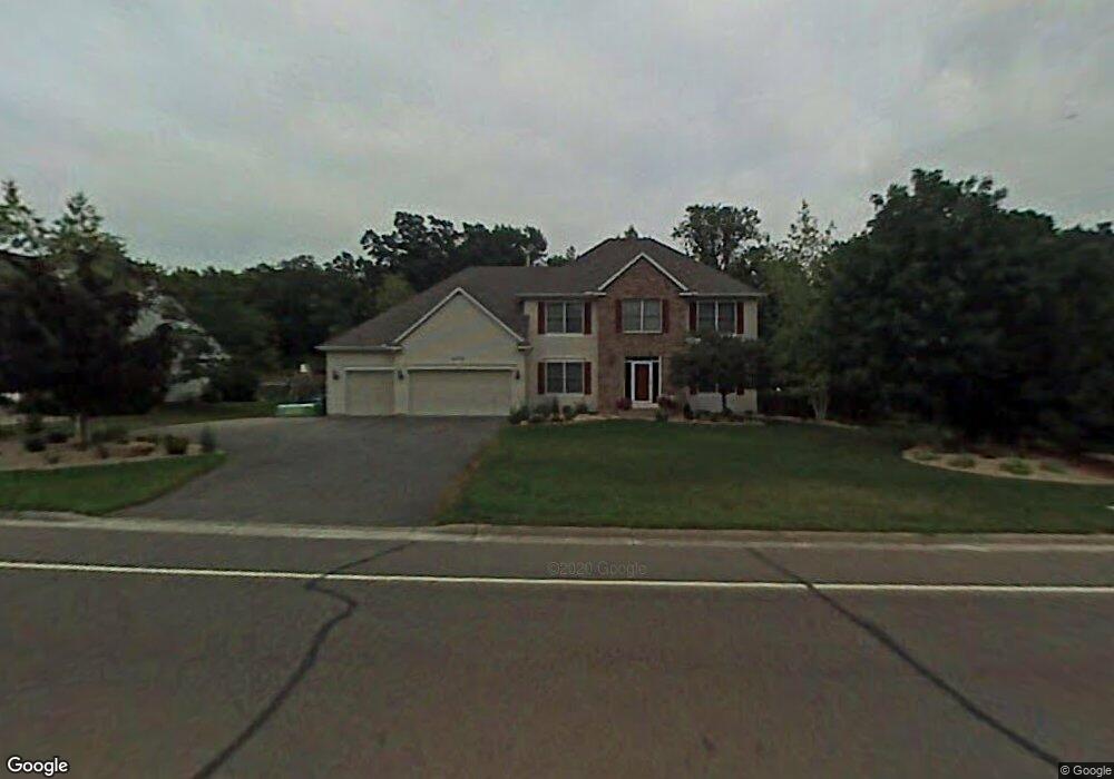
4778 Slater Rd Saint Paul, MN 55122
Estimated Value: $590,000 - $648,000
5
Beds
4
Baths
2,586
Sq Ft
$239/Sq Ft
Est. Value
About This Home
This home is located at 4778 Slater Rd, Saint Paul, MN 55122 and is currently estimated at $617,417, approximately $238 per square foot. 4778 Slater Rd is a home located in Dakota County with nearby schools including Oak Ridge Elementary School, Black Hawk Middle School, and Eastview Senior High School.
Ownership History
Date
Name
Owned For
Owner Type
Purchase Details
Closed on
Jun 24, 2004
Sold by
Oneil Daniel A and Oneil Amy K
Bought by
Rassmussen Gerald
Current Estimated Value
Purchase Details
Closed on
Aug 29, 2001
Sold by
Gusaas Chad O and Gusaas Chris L
Bought by
Oneil Daniel A and Oneil Amy K
Purchase Details
Closed on
Oct 15, 1998
Sold by
Edwards Bruce M and Edwards Mary J
Bought by
Gusaas Chad O and Gusaas Chris
Purchase Details
Closed on
May 13, 1996
Sold by
Weinel Krisine A
Bought by
Edwards Bruce M and Edwards Mary Jane
Create a Home Valuation Report for This Property
The Home Valuation Report is an in-depth analysis detailing your home's value as well as a comparison with similar homes in the area
Home Values in the Area
Average Home Value in this Area
Purchase History
| Date | Buyer | Sale Price | Title Company |
|---|---|---|---|
| Rassmussen Gerald | $347,000 | -- | |
| Oneil Daniel A | $306,000 | -- | |
| Gusaas Chad O | $244,000 | -- | |
| Edwards Bruce M | $220,000 | -- |
Source: Public Records
Tax History Compared to Growth
Tax History
| Year | Tax Paid | Tax Assessment Tax Assessment Total Assessment is a certain percentage of the fair market value that is determined by local assessors to be the total taxable value of land and additions on the property. | Land | Improvement |
|---|---|---|---|---|
| 2024 | $6,218 | $554,800 | $125,500 | $429,300 |
| 2023 | $6,218 | $561,400 | $125,800 | $435,600 |
| 2022 | $5,182 | $526,600 | $125,500 | $401,100 |
| 2021 | $5,040 | $460,800 | $109,100 | $351,700 |
| 2020 | $5,140 | $437,400 | $103,900 | $333,500 |
| 2019 | $4,489 | $434,000 | $99,000 | $335,000 |
| 2018 | $4,446 | $400,100 | $94,300 | $305,800 |
| 2017 | $4,149 | $384,400 | $89,800 | $294,600 |
| 2016 | $4,118 | $344,800 | $85,500 | $259,300 |
| 2015 | $4,061 | $333,033 | $83,822 | $249,211 |
| 2014 | -- | $334,014 | $81,591 | $252,423 |
| 2013 | -- | $305,129 | $73,344 | $231,785 |
Source: Public Records
Map
Nearby Homes
- 4774 Slater Rd
- 4632 Westwood Ln
- 3309 Red Oak Cir N
- 2100 Viburnum Trail
- 247 River Woods Ln
- 319 River Woods Ln
- 2107 Kings Rd
- 221 River Woods Ln
- 2065 Kings Rd
- 188 River Woods Ln
- 11902 River Hills Cir
- 145 River Woods Ln
- 146 River Woods Ln
- 4463 Cinnamon Ridge Cir
- 11921 Baypoint Dr
- 55 River Woods Ln
- 72 River Woods Ln
- 2123 Cliffhill Ln
- 4427 Cinnamon Ridge Cir
- 4425 Cinnamon Ridge Cir
- 4782 Slater Rd
- 4779 Highcroft Ct
- 4861 Slater Rd
- 4775 Highcroft Ct
- 4783 Highcroft Ct
- 4718 Oak Cliff Dr
- 4786 Slater Rd
- 4770 Slater Rd
- 4771 Highcroft Ct
- 4724 Oak Cliff Dr
- 4790 Slater Rd
- 4715 Oak Cliff Dr
- 4730 Oak Cliff Dr
- 4778 Highcroft Ct
- 4736 Oak Cliff Dr
- 4774 Highcroft Ct
- 2223 James St
- 2163 Warrick Ct
- 4742 Oak Cliff Dr
- 4680 Slater Rd