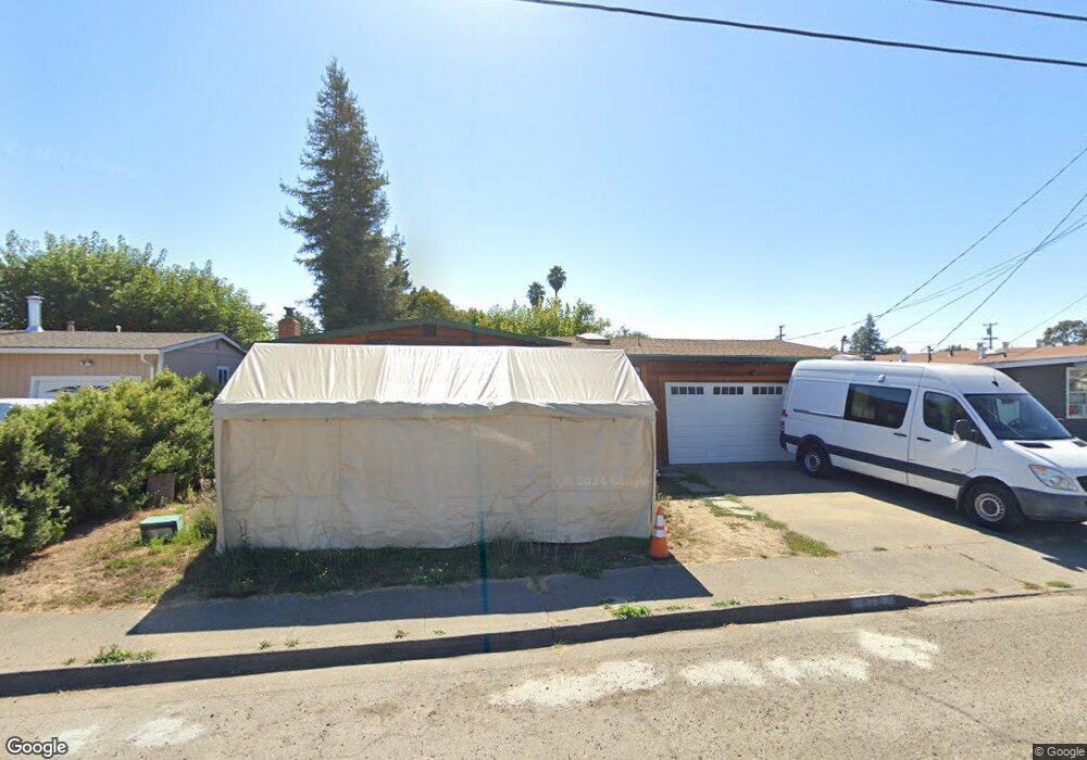
478 Smokewood Dr Santa Rosa, CA 95407
Estimated Value: $521,000 - $561,000
3
Beds
1
Bath
1,024
Sq Ft
$521/Sq Ft
Est. Value
About This Home
This home is located at 478 Smokewood Dr, Santa Rosa, CA 95407 and is currently estimated at $533,968, approximately $521 per square foot. 478 Smokewood Dr is a home located in Sonoma County with nearby schools including Elsie Allen High School.
Ownership History
Date
Name
Owned For
Owner Type
Purchase Details
Closed on
Jun 6, 2013
Sold by
Mcnamara Thomas Joseph
Bought by
Mcnamara Thomas J and The Thomas J Mcnamara Trust
Current Estimated Value
Purchase Details
Closed on
Jul 30, 1997
Sold by
Castro Maria M and Castro Joseph G
Bought by
Mcnamara Thomas Joseph
Home Financials for this Owner
Home Financials are based on the most recent Mortgage that was taken out on this home.
Original Mortgage
$108,000
Outstanding Balance
$16,245
Interest Rate
7.58%
Estimated Equity
$517,723
Purchase Details
Closed on
Aug 1, 1995
Sold by
Castro Maria M
Bought by
Castro Maria M and Castro Joseph G
Create a Home Valuation Report for This Property
The Home Valuation Report is an in-depth analysis detailing your home's value as well as a comparison with similar homes in the area
Home Values in the Area
Average Home Value in this Area
Purchase History
| Date | Buyer | Sale Price | Title Company |
|---|---|---|---|
| Mcnamara Thomas J | -- | None Available | |
| Mcnamara Thomas Joseph | $135,000 | Fidelity National Title Co | |
| Castro Maria M | -- | Fidelity National Title Ins |
Source: Public Records
Mortgage History
| Date | Status | Borrower | Loan Amount |
|---|---|---|---|
| Open | Mcnamara Thomas Joseph | $108,000 | |
| Closed | Mcnamara Thomas Joseph | $13,500 |
Source: Public Records
Tax History Compared to Growth
Tax History
| Year | Tax Paid | Tax Assessment Tax Assessment Total Assessment is a certain percentage of the fair market value that is determined by local assessors to be the total taxable value of land and additions on the property. | Land | Improvement |
|---|---|---|---|---|
| 2025 | $3,486 | $215,535 | $95,792 | $119,743 |
| 2024 | $3,486 | $211,310 | $93,914 | $117,396 |
| 2023 | $3,486 | $207,168 | $92,073 | $115,095 |
| 2022 | $3,368 | $203,107 | $90,268 | $112,839 |
| 2021 | $3,188 | $199,126 | $88,499 | $110,627 |
| 2020 | $3,393 | $197,085 | $87,592 | $109,493 |
| 2019 | $3,227 | $193,222 | $85,875 | $107,347 |
| 2018 | $3,226 | $189,435 | $84,192 | $105,243 |
| 2017 | $3,089 | $185,722 | $82,542 | $103,180 |
| 2016 | $3,023 | $182,081 | $80,924 | $101,157 |
| 2015 | $2,923 | $179,347 | $79,709 | $99,638 |
| 2014 | $2,830 | $175,835 | $78,148 | $97,687 |
Source: Public Records
Map
Nearby Homes
- 2154 Corby Ave
- 444 Pueblo Bonito Place
- 487 Hearn Ave
- 1911 Corby Ave
- 101 Colgan Ave Unit 25
- 101 Colgan Ave Unit 24
- 101 Colgan Ave Unit 2
- 1447 Beachwood Dr
- 1630 Mathwig Dr
- 2323 Calico Ln
- 2302 Squire Ln Unit 40
- 2721 Victoria Dr
- 2727 Victoria Dr
- 1245 Olive St
- 1260 Aloise Ave
- 1501 La Esplanada Place Unit 326
- 0 West Ave Unit 325019616
- 225 Burt St Unit 34
- 1855 Petaluma Hill Rd
- 109 Pear Ln Unit 109
- 516 Smokewood Dr
- 450 Smokewood Dr
- 479 Cottonwood Dr
- 517 Cottonwood Dr
- 564 Smokewood Dr
- 453 Cottonwood Dr
- 412 Smokewood Dr
- 447 Smokewood Dr
- 511 Smokewood Dr
- 565 Cottonwood Dr
- 411 Cottonwood Dr
- 443 Smokewood Dr
- 545 Smokewood Dr
- 578 Smokewood Dr
- 406 Smokewood Dr
- 577 Cottonwood Dr
- 405 Cottonwood Dr
- 358 Ashwood Dr
- 579 Smokewood Dr
- 582 Smokewood Dr