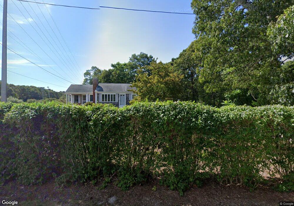
479 N Dennis Rd Yarmouth Port, MA 02675
Yarmouth Port NeighborhoodEstimated Value: $476,000 - $584,000
2
Beds
1
Bath
768
Sq Ft
$671/Sq Ft
Est. Value
About This Home
This home is located at 479 N Dennis Rd, Yarmouth Port, MA 02675 and is currently estimated at $515,140, approximately $670 per square foot. 479 N Dennis Rd is a home located in Barnstable County with nearby schools including Dennis-Yarmouth Regional High School and St. Pius X. School.
Ownership History
Date
Name
Owned For
Owner Type
Purchase Details
Closed on
Oct 17, 2005
Sold by
Hanson Peter E
Bought by
Clohessy John M and Clohessy Lisa M
Current Estimated Value
Home Financials for this Owner
Home Financials are based on the most recent Mortgage that was taken out on this home.
Original Mortgage
$150,000
Interest Rate
5.78%
Mortgage Type
Purchase Money Mortgage
Purchase Details
Closed on
May 26, 2005
Sold by
Didsbury Shirley J and Didsbury Stephen C
Bought by
Hanson Peter E
Purchase Details
Closed on
Aug 15, 1994
Sold by
Colkatine Rt and Williamson Mary E
Bought by
Didsbury Stephen C and Didsbury Shirley J
Home Financials for this Owner
Home Financials are based on the most recent Mortgage that was taken out on this home.
Original Mortgage
$60,000
Interest Rate
8.52%
Mortgage Type
Purchase Money Mortgage
Create a Home Valuation Report for This Property
The Home Valuation Report is an in-depth analysis detailing your home's value as well as a comparison with similar homes in the area
Home Values in the Area
Average Home Value in this Area
Purchase History
| Date | Buyer | Sale Price | Title Company |
|---|---|---|---|
| Clohessy John M | $317,500 | -- | |
| Hanson Peter E | $270,000 | -- | |
| Didsbury Stephen C | $80,000 | -- |
Source: Public Records
Mortgage History
| Date | Status | Borrower | Loan Amount |
|---|---|---|---|
| Open | Didsbury Stephen C | $142,000 | |
| Closed | Clohessy John M | $150,000 | |
| Previous Owner | Didsbury Stephen C | $50,000 | |
| Previous Owner | Didsbury Stephen C | $60,000 |
Source: Public Records
Tax History Compared to Growth
Tax History
| Year | Tax Paid | Tax Assessment Tax Assessment Total Assessment is a certain percentage of the fair market value that is determined by local assessors to be the total taxable value of land and additions on the property. | Land | Improvement |
|---|---|---|---|---|
| 2025 | $2,908 | $410,800 | $152,800 | $258,000 |
| 2024 | $3,038 | $411,600 | $161,400 | $250,200 |
| 2023 | $2,955 | $364,400 | $144,000 | $220,400 |
| 2022 | $2,794 | $304,400 | $129,700 | $174,700 |
| 2021 | $2,650 | $277,200 | $129,700 | $147,500 |
| 2020 | $2,616 | $261,600 | $130,400 | $131,200 |
| 2019 | $2,444 | $242,000 | $130,400 | $111,600 |
| 2018 | $2,242 | $217,900 | $106,300 | $111,600 |
| 2017 | $2,183 | $217,900 | $106,300 | $111,600 |
| 2016 | $2,081 | $208,500 | $96,600 | $111,900 |
| 2015 | $1,955 | $194,700 | $96,600 | $98,100 |
Source: Public Records
Map
Nearby Homes
- 13 Covey Dr
- 6 Nimble Hill Dr
- 111 Merchant Ave
- 59 Massachusetts 6a Unit 19-2
- 59 Main St Unit 19-2
- 59 Route 6a Unit 29-4
- 4 Ebb Rd
- 44 Stratford Ln
- 153 Bayridge Dr
- 11 Uncle Stanleys Way
- 51 Bray Farm Rd N
- 268 Main St
- 64 Kates Path
- 118 Driftwood Ln
- 34 Kates Path
- 34 Kates Path Unit 34
- 86 Pompano Rd
- 43 Canterbury Rd
- 15 Captain Jud Rd
- 174 Setucket Rd
- 475 N Dennis Rd
- 485 N Dennis Rd
- 491 N Dennis Rd
- 170 Setucket Rd
- 180 Setucket Rd
- 186 Setucket Rd
- 166 Setucket Rd
- 291 Setucket Rd
- 0 Setucket Rd
- 497 N Dennis Rd
- 158 Setucket Rd
- 490 N Dennis Rd
- 503 N Dennis Rd
- 507 N Dennis Rd
- 8 Boulder Cir
- 59 Covey Dr
- 173 Setucket Rd
- 148 Setucket Rd
- 183 Setucket Rd