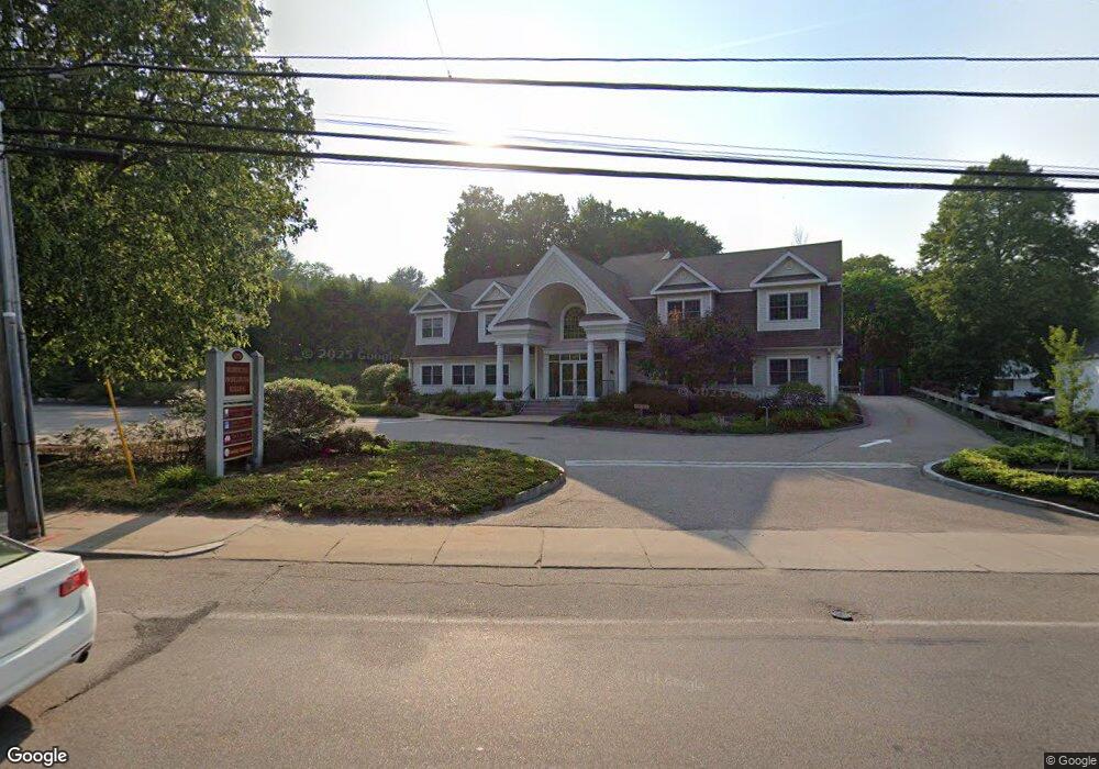
479 Washington St Unit 4 Holliston, MA 01746
Estimated Value: $1,503,155
--
Bed
2
Baths
1,820
Sq Ft
$826/Sq Ft
Est. Value
About This Home
This home is located at 479 Washington St Unit 4, Holliston, MA 01746 and is currently priced at $1,503,155, approximately $825 per square foot. 479 Washington St Unit 4 is a home located in Middlesex County with nearby schools including Miller Elementary School, Robert H. Adams Middle School, and Holliston High School.
Ownership History
Date
Name
Owned For
Owner Type
Purchase Details
Closed on
Jun 9, 2003
Sold by
Preussner Barbara A and Bryant William B
Bought by
Preussner Tr Barbara A and Tr Haven Enterpris
Current Estimated Value
Purchase Details
Closed on
Jan 30, 2001
Sold by
Melchiorri Silvano A and Melchiorri Lillian E
Bought by
Bryant William B and Preussner Barbara A
Create a Home Valuation Report for This Property
The Home Valuation Report is an in-depth analysis detailing your home's value as well as a comparison with similar homes in the area
Home Values in the Area
Average Home Value in this Area
Purchase History
| Date | Buyer | Sale Price | Title Company |
|---|---|---|---|
| Preussner Tr Barbara A | -- | -- | |
| Bryant William B | $550,000 | -- |
Source: Public Records
Tax History Compared to Growth
Tax History
| Year | Tax Paid | Tax Assessment Tax Assessment Total Assessment is a certain percentage of the fair market value that is determined by local assessors to be the total taxable value of land and additions on the property. | Land | Improvement |
|---|---|---|---|---|
| 2025 | $19,764 | $1,349,100 | $414,200 | $934,900 |
| 2024 | $20,317 | $1,349,100 | $414,200 | $934,900 |
| 2023 | $20,776 | $1,349,100 | $306,500 | $1,042,600 |
| 2022 | $22,481 | $1,293,500 | $279,300 | $1,014,200 |
| 2021 | $20,374 | $1,141,400 | $279,300 | $862,100 |
| 2020 | $21,336 | $1,131,900 | $230,200 | $901,700 |
| 2019 | $21,314 | $1,131,900 | $230,200 | $901,700 |
| 2018 | $21,133 | $1,131,900 | $230,200 | $901,700 |
| 2017 | $20,963 | $1,131,900 | $230,200 | $901,700 |
| 2016 | $20,149 | $1,072,300 | $230,200 | $842,100 |
| 2015 | $19,791 | $1,021,200 | $204,400 | $816,800 |
Source: Public Records
Map
Nearby Homes
- 11 Francine Dr
- 160 Winter St
- 43 Bittersweet Cir Unit 43
- 54 Westfield Dr
- 1366 Washington St
- 56 Roy Ave
- 195 High St
- 32 Colonial Way
- 154 Union St
- 1014 Highland St
- 150 Westfield Dr
- 131 Jennings Rd
- 156 Mitchell Rd
- 133 Brooksmont Dr Unit 43
- 95 Brooksmont Dr Unit 26
- 1037 Washington St
- 59 Turner Rd
- 151 Mohawk Path
- 152 Turner Rd Unit 43
- 152 Turner Rd Unit 14
- 479 Washington St
- 15 Winter St
- 459 Washington St
- 474 Washington St
- 465 Washington St
- 25 Winter St
- 461 Washington St Unit 2
- 461 Washington St Unit B
- 470 Washington St
- 41 Winter St
- 60 Curve St
- 507 Washington St
- 10 Winter St
- 20 Winter St
- 0 Winter St
- 40 Winter St
- 510 Washington St
- 52 Curve St
- 65 Winter St
- 50 Winter St