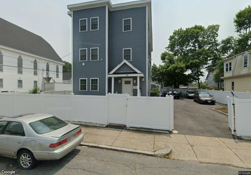
48 Nilsson St Brockton, MA 02301
Clifton Heights NeighborhoodEstimated Value: $742,000 - $947,000
9
Beds
3
Baths
3,834
Sq Ft
$228/Sq Ft
Est. Value
About This Home
This home is located at 48 Nilsson St, Brockton, MA 02301 and is currently estimated at $872,667, approximately $227 per square foot. 48 Nilsson St is a home located in Plymouth County with nearby schools including John F. Kennedy Elementary School, Davis K-8 School, and South Middle School.
Ownership History
Date
Name
Owned For
Owner Type
Purchase Details
Closed on
Dec 21, 1987
Sold by
Sena Francisco E A
Bought by
Montrond Solomao
Current Estimated Value
Home Financials for this Owner
Home Financials are based on the most recent Mortgage that was taken out on this home.
Original Mortgage
$120,000
Interest Rate
10.78%
Mortgage Type
Purchase Money Mortgage
Create a Home Valuation Report for This Property
The Home Valuation Report is an in-depth analysis detailing your home's value as well as a comparison with similar homes in the area
Home Values in the Area
Average Home Value in this Area
Purchase History
| Date | Buyer | Sale Price | Title Company |
|---|---|---|---|
| Montrond Solomao | $150,000 | -- |
Source: Public Records
Mortgage History
| Date | Status | Borrower | Loan Amount |
|---|---|---|---|
| Closed | Montrond Solomao | $120,000 |
Source: Public Records
Tax History Compared to Growth
Tax History
| Year | Tax Paid | Tax Assessment Tax Assessment Total Assessment is a certain percentage of the fair market value that is determined by local assessors to be the total taxable value of land and additions on the property. | Land | Improvement |
|---|---|---|---|---|
| 2025 | $7,732 | $638,500 | $139,200 | $499,300 |
| 2024 | $7,675 | $638,500 | $139,200 | $499,300 |
| 2023 | $7,615 | $586,700 | $103,500 | $483,200 |
| 2022 | $1,315 | $94,100 | $94,100 | $0 |
| 2021 | $7,112 | $490,500 | $78,000 | $412,500 |
| 2020 | $6,293 | $415,400 | $73,200 | $342,200 |
| 2019 | $6,012 | $386,900 | $71,300 | $315,600 |
| 2018 | $5,618 | $349,800 | $71,300 | $278,500 |
| 2017 | $5,166 | $320,900 | $71,300 | $249,600 |
| 2016 | $4,810 | $277,100 | $69,100 | $208,000 |
| 2015 | $3,929 | $216,500 | $69,100 | $147,400 |
| 2014 | $3,670 | $202,400 | $69,100 | $133,300 |
Source: Public Records
Map
Nearby Homes
- 52 Nilsson St
- 52 Nilsson St Unit 1
- 153 Laureston St
- 56 Nilsson St
- 151 Laureston St
- 151 Laureston St Unit 2
- 150 Laureston St
- 51 Nilsson St
- 53 Nilsson St
- 60 Nilsson St
- 159 Laureston St
- 154 Laureston St
- 57 Nilsson St
- 136 Laureston St Unit 2
- 136 Laureston St Unit 1
- 136 Laureston St
- 160 Laureston St
- 161 Laureston St
- 129 Laureston St
- 924 Warren Ave