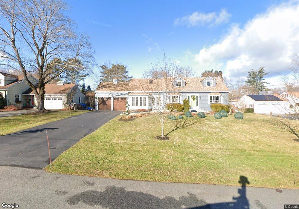
48 Penrith Rd Portland, ME 04102
Stroudwater NeighborhoodEstimated Value: $765,777 - $846,000
3
Beds
2
Baths
2,245
Sq Ft
$360/Sq Ft
Est. Value
About This Home
This home is located at 48 Penrith Rd, Portland, ME 04102 and is currently estimated at $807,694, approximately $359 per square foot. 48 Penrith Rd is a home located in Cumberland County with nearby schools including Amanda C Rowe School, King Middle School, and Levey Day School.
Ownership History
Date
Name
Owned For
Owner Type
Purchase Details
Closed on
Jun 21, 2010
Sold by
Hogenauer Daniel O and Cekleniak Julie A
Bought by
Cacciola Tara T and Peters Alicia W
Current Estimated Value
Home Financials for this Owner
Home Financials are based on the most recent Mortgage that was taken out on this home.
Original Mortgage
$306,000
Outstanding Balance
$205,685
Interest Rate
5.03%
Mortgage Type
Purchase Money Mortgage
Estimated Equity
$602,009
Create a Home Valuation Report for This Property
The Home Valuation Report is an in-depth analysis detailing your home's value as well as a comparison with similar homes in the area
Home Values in the Area
Average Home Value in this Area
Purchase History
| Date | Buyer | Sale Price | Title Company |
|---|---|---|---|
| Cacciola Tara T | -- | -- |
Source: Public Records
Mortgage History
| Date | Status | Borrower | Loan Amount |
|---|---|---|---|
| Open | Cacciola Tara T | $306,000 |
Source: Public Records
Tax History Compared to Growth
Tax History
| Year | Tax Paid | Tax Assessment Tax Assessment Total Assessment is a certain percentage of the fair market value that is determined by local assessors to be the total taxable value of land and additions on the property. | Land | Improvement |
|---|---|---|---|---|
| 2024 | $8,749 | $582,900 | $90,600 | $492,300 |
| 2023 | $8,400 | $582,900 | $90,600 | $492,300 |
| 2022 | $7,933 | $582,900 | $90,600 | $492,300 |
| 2021 | $7,572 | $582,900 | $90,600 | $492,300 |
| 2020 | $7,424 | $318,500 | $85,600 | $232,900 |
| 2019 | $7,424 | $318,500 | $85,600 | $232,900 |
| 2018 | $7,160 | $318,500 | $85,600 | $232,900 |
| 2017 | $6,896 | $318,500 | $85,600 | $232,900 |
| 2016 | $6,724 | $318,500 | $85,600 | $232,900 |
| 2015 | $6,177 | $299,400 | $85,600 | $213,800 |
| 2014 | $5,988 | $299,400 | $85,600 | $213,800 |
Source: Public Records
Map
Nearby Homes
- 1346 Westbrook St
- 2 Firefly St Unit 303
- 1549 Westbrook St
- 1 Firefly St Unit 402
- 1 Firefly St Unit 201
- 1 Firefly St Unit 303
- 1 Firefly St Unit 302
- 1 Firefly St Unit 403/103
- 1 Firefly St Unit 301
- 1 Firefly St Unit 401
- 1 Firefly St Unit 403
- 1 Firefly St Unit 202
- 16 Black Sparrow Dr
- 63A Capisic St
- 89 Cobb Ave
- 1542 Congress St
- 159 Bancroft St
- 155 Owls Nest Rd
- 149 Owls Nest Rd
- 0 Hillcrest Ave
- 42 Penrith Rd
- 54 Penrith Rd
- 35 Roundabout Ln
- 32 Penrith Rd
- 45 Penrith Rd
- 55 Penrith Rd
- 47 Roundabout Ln
- 35 Penrith Rd
- 21 Roundabout Ln
- 20 Penrith Rd
- 71 Stroudwater Rd
- 25 Penrith Rd
- 55 Stroudwater Rd
- 54 Roundabout Ln
- 15 Roundabout Ln
- 28 Roundabout Ln
- 12 Penrith Rd
- 33 Stroudwater Rd
- 25 Stroudwater Rd
- 63 Stroudwater Rd